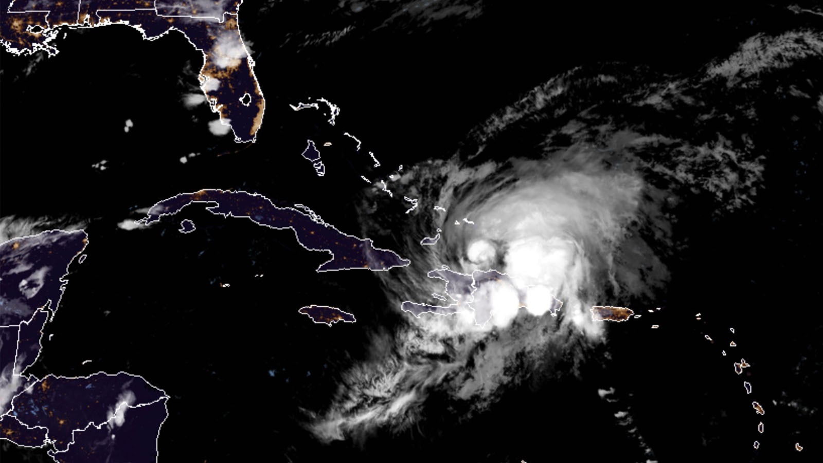
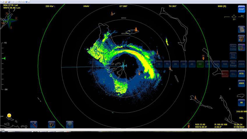
Tag: hurricane forecasting

11 Days in Dorian: AOML Hurricane Scientists Gather Data in Catastrophic Category 5 Storm

Catastrophic Hurricane Dorian will be long remembered as one of the Atlantic basin’s most powerful landfalling hurricanes.  NOAA Hurricane Hunters measured Dorian’s intensification from a weak tropical storm in the Caribbean to one of the Atlantic’s fiercest hurricanes.  The data they gathered were vital to protecting life and property, supporting NOAA’s efforts to warn vulnerable communities of approaching severe weather through accurate forecasts.

Read Full Article

NOAA Hurricane Hunter Radar Paints Picture of Hurricane Winds

NOAA’s hurricane hunter aircraft carry a unique radar that measures wind in hurricanes where there is rain. Located in the tail of the aircraft and known as the Tail Doppler Radar, this instrument produces images that can provide detailed pictures scientists use to study storm structure and changes. Scientists can also piece together wind speed information gathered over the course of a flight to paint a complete picture of the wind speed in the regions of the storm where the aircraft flies.

Read Full Article

September 22: Reddit Science AMA with NOAA’s Hurricane Hunters

With hurricane season in full swing, NOAA will host a Reddit Ask Me Anything (AMA) about the Science of Hurricane Hunting to Improve Forecasts on September 22, 2016 at 1:00 p.m. Hurricane scientist Frank Marks, Sc.D., Director of the Hurricane Research Division at AOML, and P-3 hurricane hunter pilot Commander Justin Kibbey of the NOAA Corps will answer questions. The first half of hurricane season has produced a significant number of storms in the Atlantic and Gulf of America. This AMA is a great opportunity to answer questions about how and why we study these storms.

Read Full Article

Capturing the Genesis of a Hurricane

NOAA Hurricane Hunters are flying back-to-back missions to study the newly developed Tropical Storm Hermine in the Gulf of America, capturing its evolution from a cluster of thunderstorms into a tropical storm. Getting data during such transitions can help improve hurricane models which currently don’t predict transitions well. Our understanding of the physical processes of early storm development remains limited, largely because there are few observations. 

Read Full Article

From the Eye of the Hurricane to High-Resolution Models – How NOAA Improves Hurricane Forecasts

As a hurricane approaches landfall, citizens are hoping that they are adequately prepared for the potential damage from strong winds and rising oceans. NOAA’s job is to forecast the storm location and strength, or intensity, to help communities make the best informed decisions. For many scientists, predicting intensity is a challenge at the forefront of hurricane research, and in recent years advancements in observations and modeling have improved NOAA’s forecasts of intensity by 20%. We are now at the point where scientists can observe and predict with very fine detail what is happening in the inner core of the storm.

Read Full Article

10th Anniversary of Hurricane Katrina

Early on the morning of August 29th, 2005, Hurricane Katrina made landfall on the Louisiana delta region and the Mississippi coast.  The storm surge brought enormous damage to the Gulf Coast and, when the levees around New Orleans failed, a great number of fatalities.  Coming amidst the very busy 2005 hurricane season, Katrina brought death and destruction not seen in a U.S. land-falling hurricane in decades.

Read Full Article

Behind the 2015 Atlantic Hurricane Season: Wind Shear & Tropical Cyclones

With the 2015 Atlantic hurricane season underway, researchers are pointing to the strong presence of El Niño as the major driver suppressing the development of tropical cyclones in the Atlantic basin. But what specific conditions are associated with El Niño that lead to a less than ideal environment for tropical cyclone development? Through research and observation, hurricane researchers know strong environmental wind shear is a major factor affecting potential hurricane development and growth. This hurricane season, AOML researchers are delving further into the relationship between wind shear and tropical cyclones.

Read Full Article