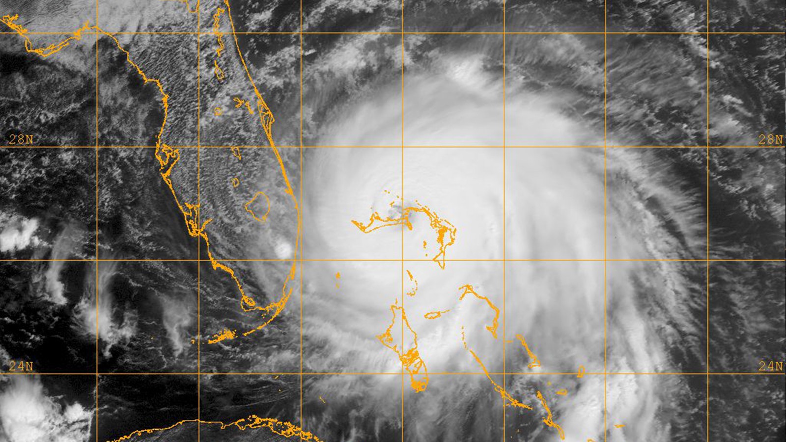
Scientists Observe Rainfall Under Tropical Cyclones Reduces Sea Surface Cooling
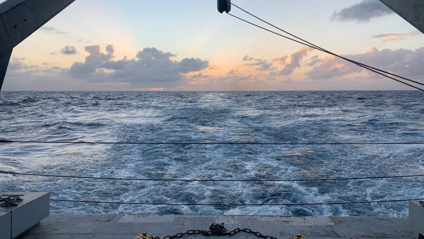
Tropical cyclones intensify by extracting heat energy from the ocean surface, making the sea surface temperature under storms crucial for storm development. A recent study by researchers at the Pacific Northwest National Laboratory and NOAA’s Atlantic Oceanographic and Meteorological Laboratory found that large amounts of rain under tropical cyclones can reduce the sea surface cooling induced by them.