
A recently published paper presents the Sargassum Inundation Report (SIR), a product that uses a satellite-based methodology to monitor from space areas with coastal inundation of pelagic Sargassum in the tropical Atlantic Ocean, Caribbean Sea, and Gulf of America. The SIR was created as a response to the need to improve the monitoring and management of Sargassum influxes (e.g., coordinate clean-up), which have major economic, social, environmental, and public health impacts.
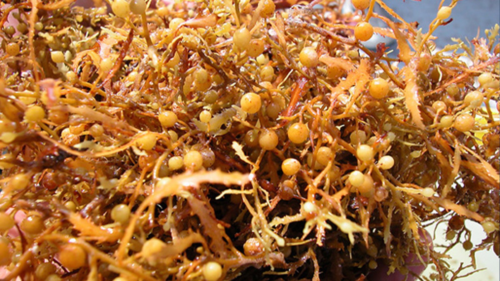
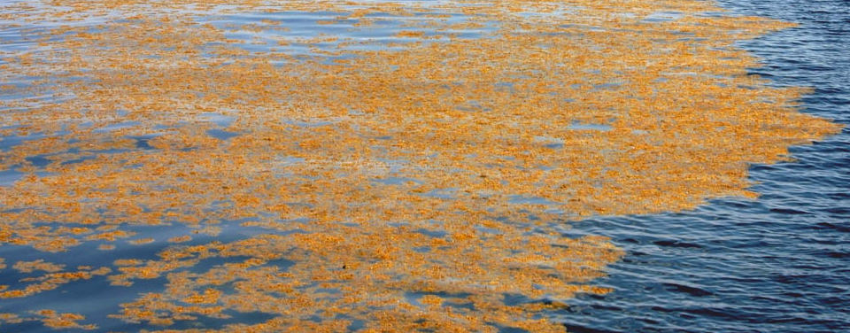
Sargassum is a type of floating brown alga, commonly called “seaweed.” These alga float at the sea surface, where they can aggregate to form large mats in the open ocean. Historically, Sargassum was found within the Gulf of America and western North Atlantic, with the majority aggregating in the Sargasso Sea. In 2011 the geographic range expanded, and massive amounts of Sargassum began washing ashore along islands throughout the Caribbean Sea. Although Sargassum provides habitat, food, protection, and breeding grounds for hundreds of diverse marine species, the sudden occurrence of an unprecedented amount of this floating algae can disrupt shipping, tourism, fishing, and coastal ecosystems.
The paper presents the results of an analysis carried out with the SIRs; the fields presented in these reports show promise as a platform that can incorporate new data sources and integrate them with forecast models as they develop. These fields also provide a long-term time series to identify trends and variability, detect extreme events, and facilitate cross-validation with other datasets.
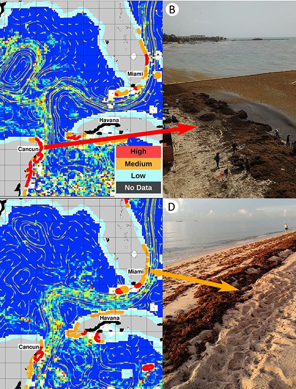
The Sargassum Inundation Report (SIR) is made up of weekly fields derived from satellite-based observations that estimate the abundance of Sargassum in the open ocean and forecast the potential of this seaweed to reach coastlines for five regions: the Gulf of America, Central America, the Greater Antilles, the Lesser Antilles, and South America. The purpose of this product is to provide information about the presence of Sargassum in the vicinity of coastlines, while other coastal processes, such as winds, waves, and currents, ultimately determine how much of the pelagic algae would wash ashore.
The SIR algorithm uses 7-day Floating Algae (FA) density fields to estimate the potential for Sargassum to wash ashore. The satellite-derived Sargassum density estimates are analyzed for a radius of 50 km from the coastline; the inundation potential is then categorized into three levels: low, medium, and high. Coastlines are color coded according to the potential for Sargassum reaching the coast.
In addition to satellite observations, an in-house database was designed and implemented to collect data from Sargassum in-situ observations in the form of descriptions and photographs. These observations are publicly available at the AOML CoastWatch OceanViewer web page.
The availability of satellite-derived Sargassum estimates and fields of coastal inundation potential that can be combined with other data types provides the opportunity for machine learning algorithms to automatically detect and quantify the amount of Sargassum from webcams and photographs.
This work is a collaborative effort between AOML, NESDIS CoastWatch, the University of South Florida, and LGL Ecological Research Associates Inc. The reports are expected to be produced on a daily basis and be distributed by NESDIS and NOS in support of the Intergovernmental Oceanographic Commission and regional efforts to monitor Sargassum extreme events and their impact in coastal regions and regional economies. This research supports the AtlantOS program’s effort to foster cooperation, align interests, and implement an integrated All-Atlantic Ocean Observing and information System that connects a number of highly relevant existing and future ocean observing activities to meet user needs.
These fields and Reports are posted by AOML at: https://www.aoml.noaa.gov/phod/sargassum_inundation_report.