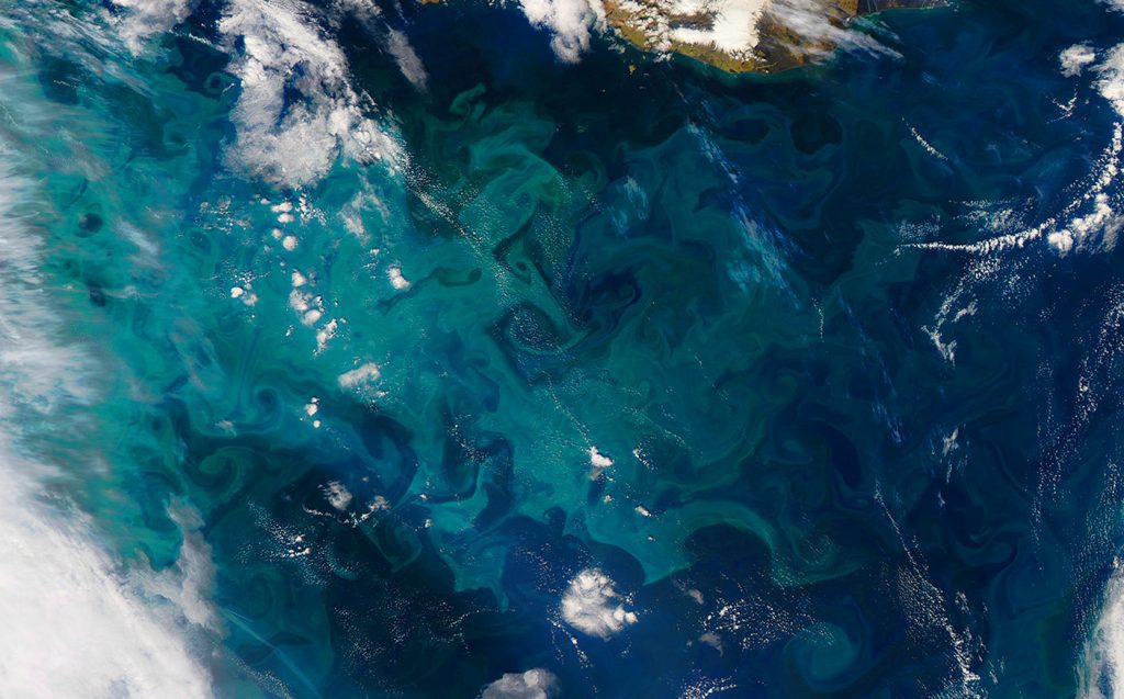
Phytoplankton drifting near the ocean surface play a critical role in marine biogeochemistry, carbon cycling, and ecosystem health. But measuring the activity of these microscopic organisms is challenging. Although scientists rely on ship-based sampling and satellites to quantify their abundance, both methods have limitations. In a study published recently in the Journal of Geophysical Research-Biogeosciences, Argo profiling floats equipped with biogeochemical sensors, i.e., BGC Argo floats, were used to obtain the first year-long estimates of phytoplankton in the western North Atlantic Ocean.
The western North Atlantic produces one of the largest seasonal blooms of phytoplankton in the global ocean. Bo Yang, PhD, a University of Miami-Cooperative Institute researcher at AOML, led an effort to test the viability of using BGC Argo floats to quantify phytoplankton in this region.
“Our results highlight the utility of float bio-optical profiles,” said Dr. Yang. “They indicate that environmental conditions, e.g., light availability and nutrient supply, are major factors controlling the seasonality and spatial (horizontal and vertical) distributions of NPP in the western North Atlantic Ocean.”
Bo Yang, PhD, CIMAS researcher at AOML
Known as primary producers, phytoplankton are the foundation of the marine food web, directly or indirectly feeding ever larger organisms. Like plants on land, phytoplankton contain chlorophyll and, through photosynthesis, convert atmospheric carbon dioxide and sunlight into simple sugars for nourishment.
Phytoplankton multiply rapidly on sunlit days when nutrients are plentiful, creating dense swirling blooms that color the ocean surface. The total energy they collectively produce is their gross productivity. The energy left after their nutritional needs are met, referred to as net primary production or NPP, is available for other marine life to consume. NPP is a critical metric used to assess the ocean’s biological productivity.

Ship-based measurements of NPP are specific to the area and time of sampling, providing only limited snapshots of the biological productivity occurring in the global ocean. Satellites measure NPP across large swaths of the sea surface but have difficulty capturing biological activity at depths below the surface and in regions obscured by clouds.
The science team used field data from five BGC Argo floats that gathered measurements during the North Atlantic Aerosols and Marine Ecosystems Study (NAAMES) conducted from 2015-2018. Ship-based sampling for NPP was also conducted during the NAAMES project. All five BGC floats operated within close proximity to NAAMES cruise stations where ship sampling occurred, facilitating their comparison.
Using two bio-optical models, the team evaluated the performance of Argo-based NPP estimates against ship-based estimates, followed by an analysis of the spatial and temporal distributions of NPP in the western North Atlantic. Although the models exhibited both advantages and limitations, NPP derived from the Argo floats was found to be comparable to shipboard and satellite estimates.
With their ability to continually drift, gathering measurements at the surface to depths of 2000 m, BGC Argo-derived data complement ship and satellite approaches by filling gaps in coverage. Sampling over longer time frames and at a variety of the depths provides greater temporal and spatial information on phytoplankton carbon production, enabling year-round estimates of NPP.
