
NOAA Cruise Ensures Flow of Critical Climate and Weather Data and Supports Collaborative Science
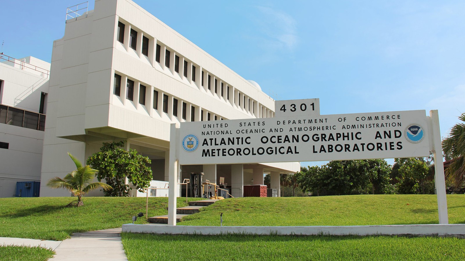
Researchers with NOAA’s Atlantic Oceanographic and Meteorological Laboratory (AOML), NOAA’s Pacific Marine Environmental Laboratory (PMEL), NOAA’s National Environmental Satellite, Data and Information Service, and partners set sail from Bridgetown, Barbados aboard NOAA Ship Ronald H. Brown on November 1st, 2022. Over the next 40 days, the crew and scientists recovered and redeployed key moorings in the Prediction and Research Moored Array in the Tropical Atlantic (PIRATA), deployed an additional mooring, and serviced two equatorial PIRATA buoys in support of the PIRATA Northeast Extension project and broader PIRATA objectives. They also conducted a number of research projects on the ocean and atmosphere that advance our understanding of carbon absorption in the ocean and atmospheric pollution.