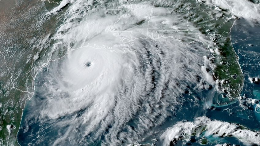
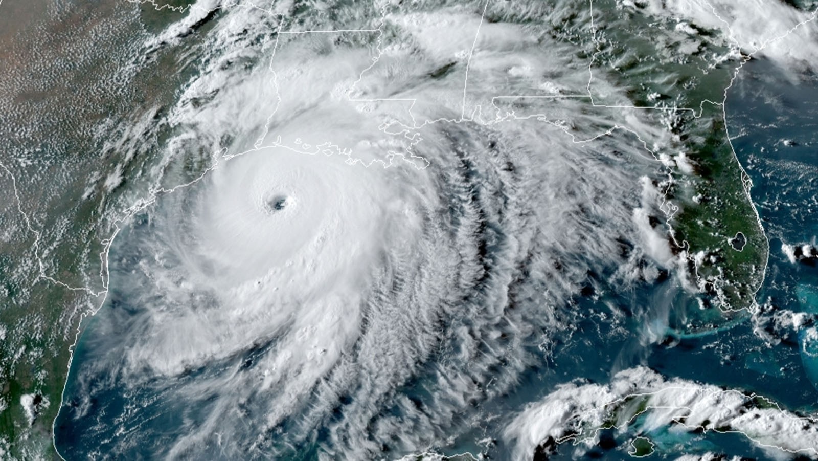
Category: Hurricane Research

The Saharan Air Layer: What is it? Why does NOAA track it?

Originally Published Wednesday, June 24, 2020 at NOAA NESDIS

As we move through the 2020 Atlantic Hurricane Season, you will no doubt hear a lot about the Saharan Air Layer—a mass of very dry, dusty air that forms over the Sahara Desert during the late spring, summer and early fall. This layer can travel and impact locations thousands of miles away from its African origins, which is one reason why NOAA uses the lofty perspective of its satellites to track it.

Read Full Article

Modeling Michael: Using NOAA’s HFV3 to predict rapid intensification in Hurricane Michael

In a recently published study, AOML hurricane researchers used multiple computer model forecasts to gain a better understanding of how Hurricane Michael, which made landfall in the panhandle of Florida with winds up to 162 mph, rapidly intensified despite strong upper-level wind shear which usually weakens hurricanes. By contrasting two sets of forecasts, the study found that Michael only rapidly intensified when rainfall completely surrounded Michael’s center, and when the eye of the storm itself was located in nearly the same place at different heights.

Read Full Article

AOML Flies Science Missions into Succession of Atlantic Storms

AOML’s hurricane scientists conducted multiple airborne missions into several tropical systems that formed in the Atlantic in September and October. The data gathered in Humberto, Jerry, pre-Karen, Lorenzo, and Nestor improved track and intensity forecasts, aiding NOAA’s efforts to prepare vulnerable communities for severe weather. The missions also supported research to better understand how tropical cyclones form, intensify, and dissipate, as well as supported efforts to validate satellite measurements of these storms.

Read Full Article

Braving the Eye of the Storm

The most dangerous part of the hurricane is the eyewall close to the ocean. It’s where the storm draws energy from heat in the water, which influences how strong – and how quickly – the storm will develop. It’s also where the strongest winds lurk.Direct and continuous observations of the lower eye-wall would help forecasters understand critical information about the storm’s development. NOAA P-3 “Hurricane Hunters” routinely fly through hurricane eyewalls to gather storm data, but avoid flying close to the ocean because conditions are too hazardous.

Read Full Article

11 Days in Dorian: AOML Hurricane Scientists Gather Data in Catastrophic Category 5 Storm

Catastrophic Hurricane Dorian will be long remembered as one of the Atlantic basin’s most powerful landfalling hurricanes.  NOAA Hurricane Hunters measured Dorian’s intensification from a weak tropical storm in the Caribbean to one of the Atlantic’s fiercest hurricanes.  The data they gathered were vital to protecting life and property, supporting NOAA’s efforts to warn vulnerable communities of approaching severe weather through accurate forecasts.

Read Full Article

Hurricane FAQ

Hurricanes Frequently Asked Questions (Revised June 1, 2023) Real-Time Information For the latest current information about the tropics visit the National Hurricane Center. Explore Alternative Formats like NOAA Weather Radio and Forecast RSS brought to you by the National Hurricane Center. This FAQ (Frequently Asked Questions) answers various questions regarding hurricanes, typhoons and tropical cyclones [...]
Read Full Article

AOML Hurricane Researchers Capture Hurricane Dorian’s Eye During Rapid Intensification

NOAA researchers have been working around the clock to collect vital data during Hurricane Dorian which is being used to improve present and future forecasts to protect and save vulnerable lives and property. Using technology aboard the NOAA Hurricane Hunter P-3 aircraft, AOML hurricane researchers were able to document the rapid intensification of Dorian as it approached the Bahamas.

Read Full Article

Hurricane Modeling and Prediction Program

AOML's Hurricane Modeling & Prediction Program Creating Next Generation Hurricane Modeling Systems JUMP TO MODEL VIEWER OR SCROLL TO LEARN MORE Who We Are AOML’s Hurricane Modeling Group was founded in 2007 to advance hurricane forecast models through development and targeted research. Our scientists are from the diverse fields of meteorology, hurricane modeling, and computer [...]
Read Full Article

Storms Gather and Now Our Watch Begins

Hurricane season is officially upon us and researchers at NOAA’s Atlantic Oceanographic and Meteorological Laboratory are excited about new model developments and innovative technology to improve hurricane forecasting.  AOML’s deputy director, Molly Baringer, briefed Congresswomen Debbie Wasserman Schultz and Donna Shalala on May 30th, 2019 about the science behind the 2019 Atlantic Hurricane Season Outlook and advancements led by AOML and other NOAA offices in the field of hurricane forecasting.

Read Full Article