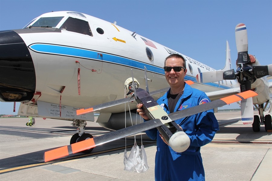
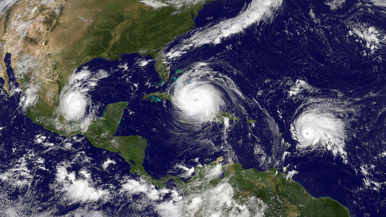
New drone data improves hurricane intensity forecasts
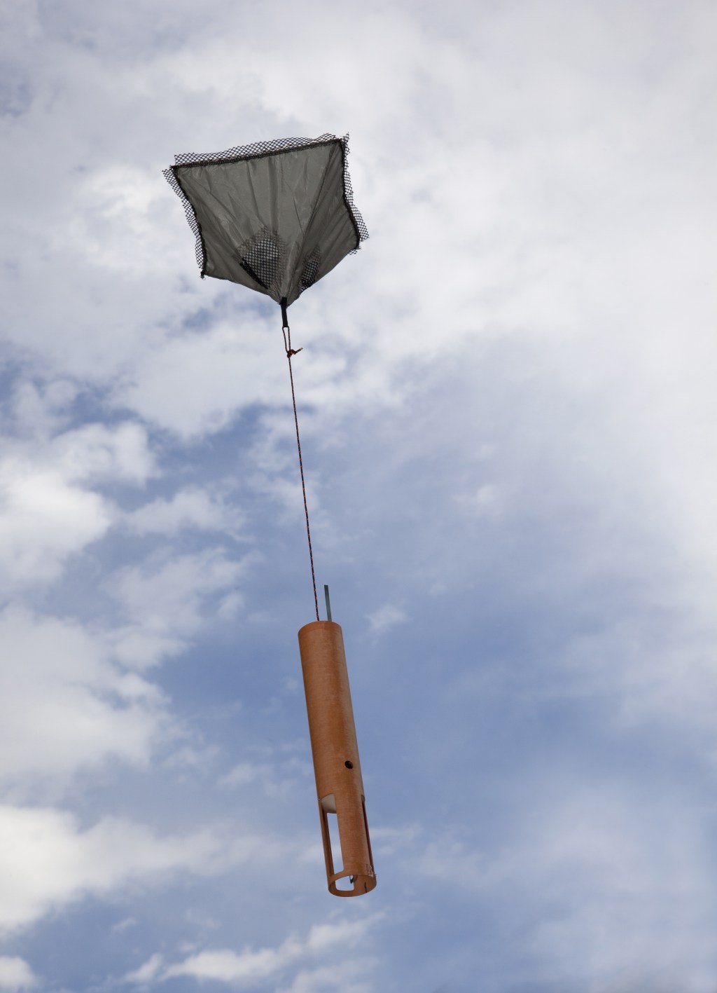
For the first time, data from a small uncrewed aircraft system (sUAS) – Black Swift Technologies’ S0 – will be integrated into NOAA’s hurricane forecast model during the 2026 hurricane season. Scientists from the Cooperative Institute for Marine and Atmospheric Studies (CIMAS) and NOAA’s Atlantic Oceanographic and Meteorological Laboratory (AOML) determined that incorporating sUAS data […]