
Observations of the atmosphere are critical to every aspect of weather forecasting. While there are several new and improved tools used to enhance storm forecasts, weather balloons prevail as one of the longest running and most dependable tools deployed by meteorologists. Released twice a day, every day of the year in the U.S. – sometimes more frequently during extreme weather events – weather balloons, also known as radiosondes, provide detailed and reliable data that ultimately help predict the path of storms.
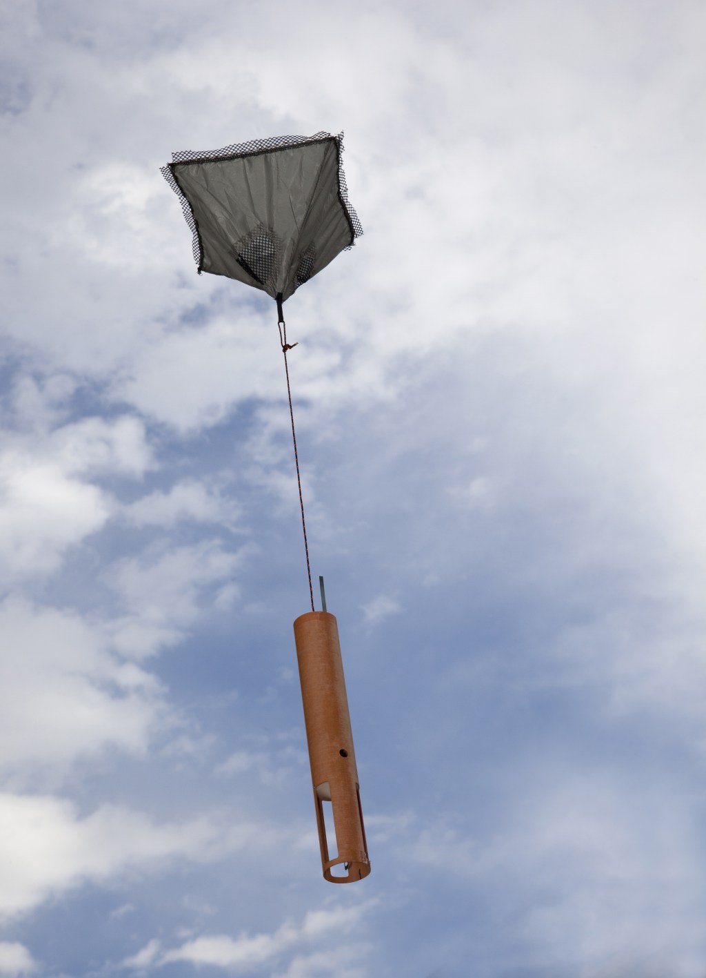
A radiosonde is a small, expendable instrument package suspended below a weather balloon. As the balloon rises, sensors on the radiosonde measure values of atmospheric temperature, pressure and relative humidity. These sensors are linked to a radio transmitter, which sends measurements to a ground receiver. Radiosondes are also equipped with GPS, allowing scientists to track their position, providing information on wind speed and direction. Flights can last in excess of two hours, and during this time the radiosonde can ascend to over 115,000 feet from the launch point, providing a three-dimensional cross section of the atmosphere.
Data from weather balloons are used over a large spectrum of efforts. Hurricane scientists, meteorologists, modelers and forecasters implement the data to both improve forecast models and ground truth satellite data. The information is fed into weather models through a process called data assimilation, or initialization, to provide the initial conditions for forecasts. The global and hurricane models that NOAA’s National Hurricane Center specialists use to make their forecasts are initialized every 6 hours.
Though satellite data are important in hurricane forecasting, satellites cannot take direct measurements. Instead, they take pictures from which scientists are able to estimate variables like temperature, moisture, wind and pressure using complicated equations called radiative transfer equations. “Because they are indirect measurements, they aren’t as accurate as direct ones, but we can get these data all the time. Due to the difficulty in using the radiative transfer equations, we frequently use the accurate radiosonde data to calibrate the satellite observations” explained AOML meteorologist Sim Aberson of the Hurricane Research Division.
The radiosondes allow the direct measurement of the upper atmosphere as opposed to the indirect remote sensing techniques employed by satellites or ground-based remote sensing instrumentation. As a result, these observational data are more accurate and reliable than indirect data types. The combination of the two allows for the best forecasts, ensuring public safety in the event of an approaching storm.
“Models initialized with good data can provide better and more certain forecast information,” said Aberson. “When the forecast is difficult or different models disagree, more frequent radiosonde observations are requested. This is likely to improve how accurate the forecasts are.”
Originally Published September 2017 by Sierra Sarkis