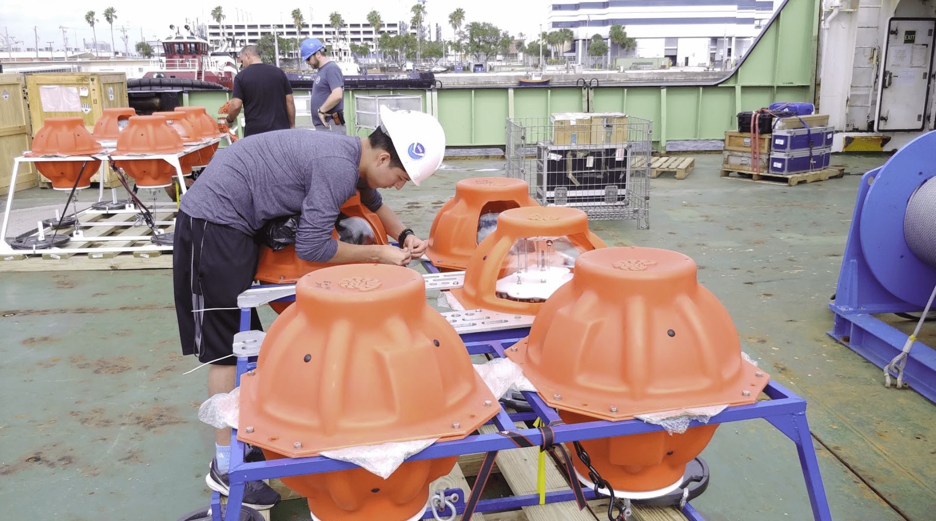
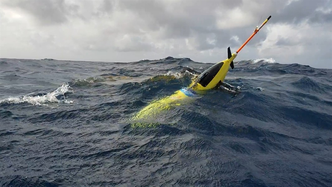
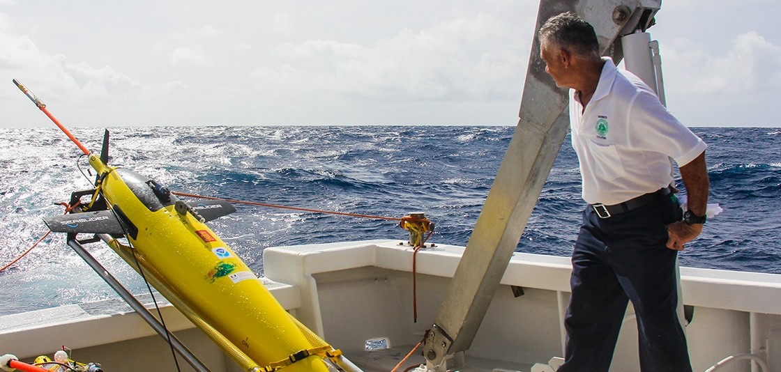
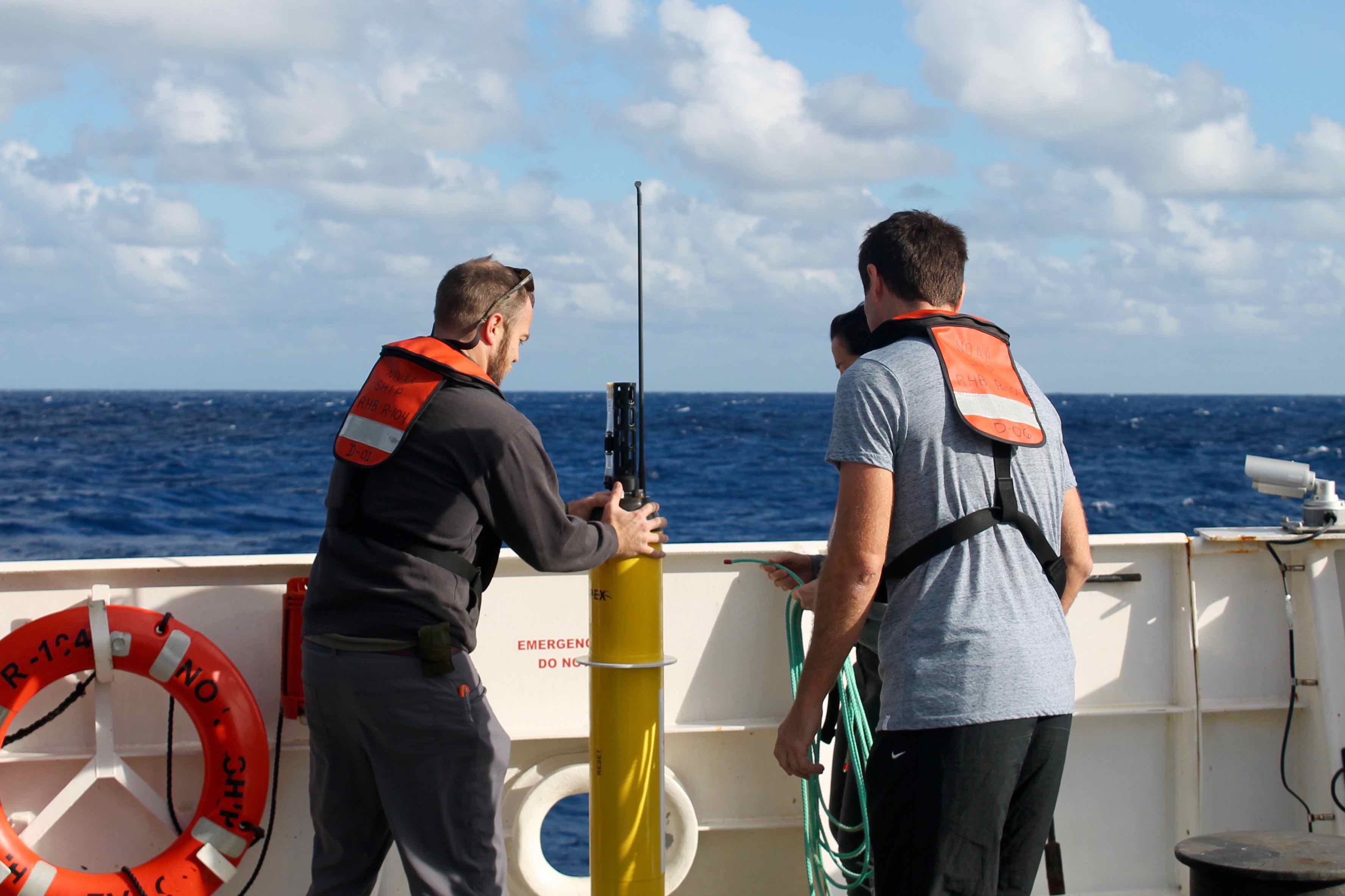
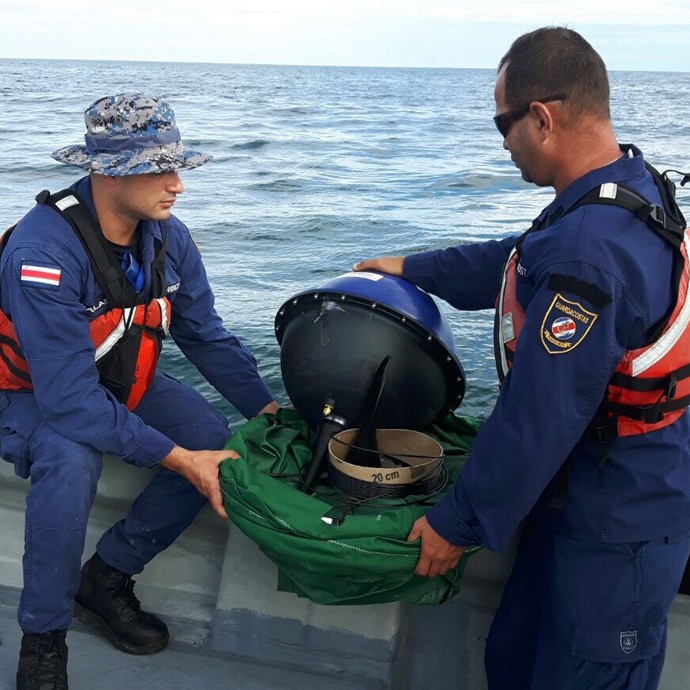
Tag: Global Ocean Observing System

Argo Biogeochemical Sensors Poised to Enhance Ocean Observing Capability

Scientists are now looking to expand their observing capabilities to include the biology and chemistry of the oceans, currently available globally from ocean color satellites that measure chlorophyll, indicating algal blooms at the ocean surface. A recent paper in the Journal of Atmospheric and Oceanic Technology by AOML postdoctoral scientist Cyril Germineaud of the University of Miami’s Cooperative Institute for Marine and Atmospheric Studies and colleagues shows that in close synergy with ocean color satellites, a global array of biogeochemical sensors complementing the existing core Argo network could revolutionize our knowledge of the changing state of primary productivity, ocean carbon cycling, ocean acidification, and the patterns of marine ecosystem variability from seasonal to interannual time scales. 

Read Full Article

TACOS Program Hits 25,000th Profile Milestone!

TACOS has added 10 acoustic current meters to the Prediction and Research Moored Array in the Tropical Atlantic (PIRATA) buoy, moored at 4N, 23W.  Profile measurements are taken every 1-10 minutes, depending on depth.  Prior to the addition of the TACOS upper ocean observations in March 6, 2017 velocity profiles were only collected at this location during shipboard surveys.  These measurements are important because ocean currents influence temperature, salinity, and air-sea fluxes in the tropical North Atlantic, which affect weather, climate, and fisheries of the surrounding continents.

Read Full Article

Robots Probe Ocean Depths in Mission to Fine-Tune Hurricane Forecasts

Four ocean gliders set off to sea this week to bring back data that scientists hope will improve the accuracy of hurricane forecast models.The robotic, unmanned gliders are equipped with sensors to measure the salt content (salinity) and temperature as they move through the ocean at different depths.  The gliders, which can operate in hurricane conditions, collect data during dives down to a half mile below the sea surface, and transmit the data to satellites when they surface.  

Read Full Article

Unmanned Ocean Gliders Help Improve Hurricane Forecasts

NOAA will soon launch a fleet of 15 unmanned gliders in the Caribbean Sea and tropical Atlantic Ocean this hurricane season to collect important oceanic data that could prove useful to forecasters. “If you want to improve prediction of how hurricanes gain strength or weaken as they travel over the ocean, it’s critical to take the ocean’s temperature and measure how salty it is,” said Gustavo Goni, an oceanographer at NOAA’s Atlantic Oceanographic and Meteorological Laboratory who is helping lead the glider research. “Not just at the surface, which we measure with satellites, but down into deeper layers of ocean waters.”

Read Full Article

NOAA’s Global Drifter Program: Ocean Dynamics Data Improves Forecasting and Coastal Safety

NOAA’s Global Drifter Program is a globally collaborative research project that provides near real-time marine data for the world. It allows us to record data for weather forecasts, track decadal patterns, and pinpoint inter-annual climate variations like El Nino Southern Oscillation. Global drifters provide observational verification for weather models, calibrate satellite observations, and collect and transfer new data about the ocean temperature, currents and barometric pressure.

Read Full Article

Argo Data Acquisition Center at AOML Surpasses One Million Profile Benchmark

Staff with the US Argo Data Acquisition Center (DAC) at AOML marked an important milestone this past February by processing the one millionth profile from Argo floats. The DAC team has been processing and quality controlling all of the raw data obtained from US-deployed Argo floats since 2001, with about 90,000 temperature-salinity profiles processed annually since 2007. These profiles have provided the global scientific community with an unprecedented record of the evolving state of the upper ocean, advancing understanding of the ocean’s role in world climate.

Read Full Article

Drifters to Help Recover Lost Aircraft

Researchers from AOML’s Physical Oceanography Division recently deployed three surface drifters and ten special spot trace drift buoys, all contributed by NOAA, in the Caribbean Sea to help to identify the site of where an Argentine Air Force C-54E Skymaster aircraft crashed in 1965. The data gathered by the drifters will help back track the possible location of the lost aircraft based on the location of life vests recovered during search operations after the crash. These deployments are part of a larger effort in support of the Argentine Air Force and search and rescue operations professionals from the US, Costa Rica, Panama and Argentina to locate the remains of the flights. Mr. Jose Rivera of NOAA, Captain Marcelo Covelli from Perfectura Naval Argentina and Licenciado Mariano Torres Garcia, representing the Argentine Air Force, are closely coordinating the 4th Expedition in the Caribbean Sea to locate the remains of TC48 and its 68 crew members on April 2018.

Read Full Article

RAPID-MOCHA-WBTS array suggests that the Atlantic circulation has changed

AOML oceanographers Christopher Meinen and Molly Baringer participated in the development of a new thirteen-year-long record of the daily Atlantic ocean overturning that has recently been released. This project is a collaboration between a large team of researchers at NOAA, at the University of Miami ,and at the National Oceanography Centre in Southampton, United Kingdom.

Read Full Article

Underwater Gliders Contribute to Atlantic Hurricane Season Operational Forecasts

Scientists strategically deployed the gliders during the peak of hurricane season, from July through November 2017, collecting data in regions where hurricanes commonly travel and intensify. The gliders continually gathered temperature and salinity profile data, generating more than 4,000 profiles to enhance scientific understanding of the air-sea interaction processes that drive hurricane intensification.

Read Full Article

An Enhanced PIRATA Data Set for Tropical Atlantic Ocean-Atmosphere Research

The manuscript “An enhanced PIRATA data set for tropical Atlantic ocean-atmosphere research”, by Greg Foltz, Claudia Schmid, and Rick Lumpkin, was accepted for publication in Journal of Climate. It describes a new set of daily time series (ePIRATA) that is based on the measurements from 17 moored buoys of the Prediction and Research Moored Array in the Tropical Atlantic (PIRATA).

Read Full Article