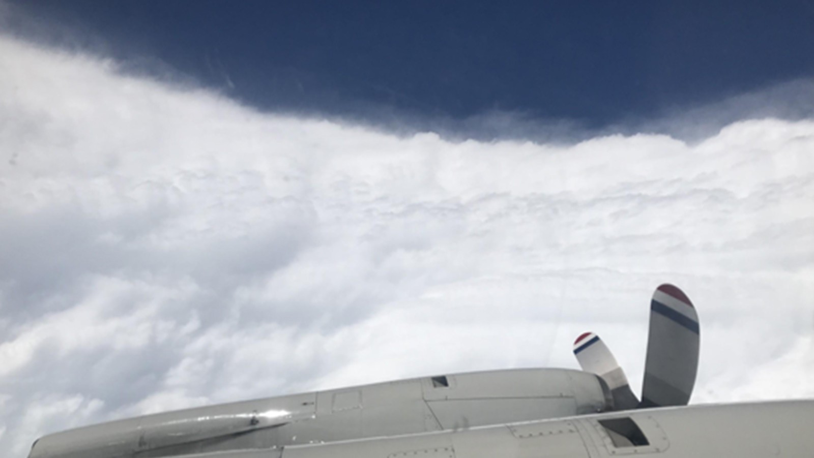
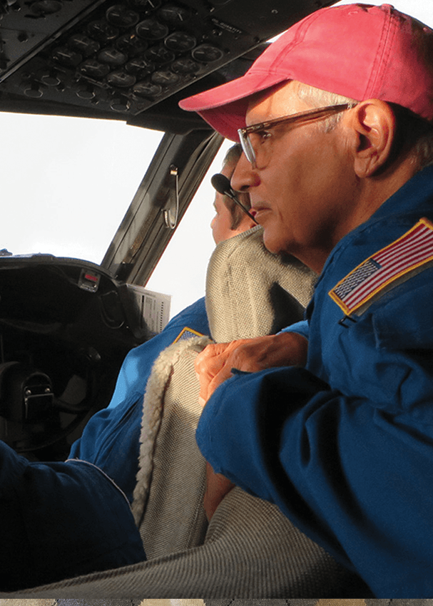
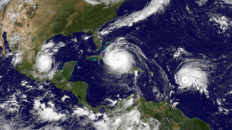
NOAA researchers have been working around the clock to collect vital data during Hurricane Dorian which is being used to improve present and future forecasts to protect and save vulnerable lives and property. Using technology aboard the NOAA Hurricane Hunter P-3 aircraft, AOML hurricane researchers were able to document the rapid intensification of Dorian as it approached the Bahamas.
Read Full Article
AOML's Hurricane Modeling & Prediction Program Creating Next Generation Hurricane Modeling Systems JUMP TO MODEL VIEWER OR SCROLL TO LEARN MORE Who We Are Objectives The primary objective of AOML’s Hurricane Modeling Group is to develop and further advance NOAA hurricane research and forecast modeling systems. The program’s efforts aim to: Develop hurricane research and [...]
Read Full Article
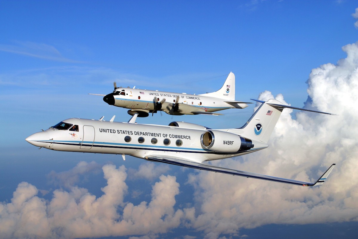
Hurricane season is officially upon us and researchers at NOAA’s Atlantic Oceanographic and Meteorological Laboratory are excited about new model developments and innovative technology to improve hurricane forecasting. AOML’s deputy director, Molly Baringer, briefed Congresswomen Debbie Wasserman Schultz and Donna Shalala on May 30th, 2019 about the science behind the 2019 Atlantic Hurricane Season Outlook and advancements led by AOML and other NOAA offices in the field of hurricane forecasting.
Read Full Article
The National Oceanic and Atmospheric Administration’s Oceanic and Atmospheric Research Dr. Daniel L. Albritton Outstanding Science Communicator Award recognizes outstanding achievement in communicating the meaning and value of NOAA-related science and research to non-scientific audiences. The award is named in honor of Dr. Daniel L. Albritton, a retired OAR scientist, who proved to be one of the most effective communicators of NOAA research and related science.
Read Full Article
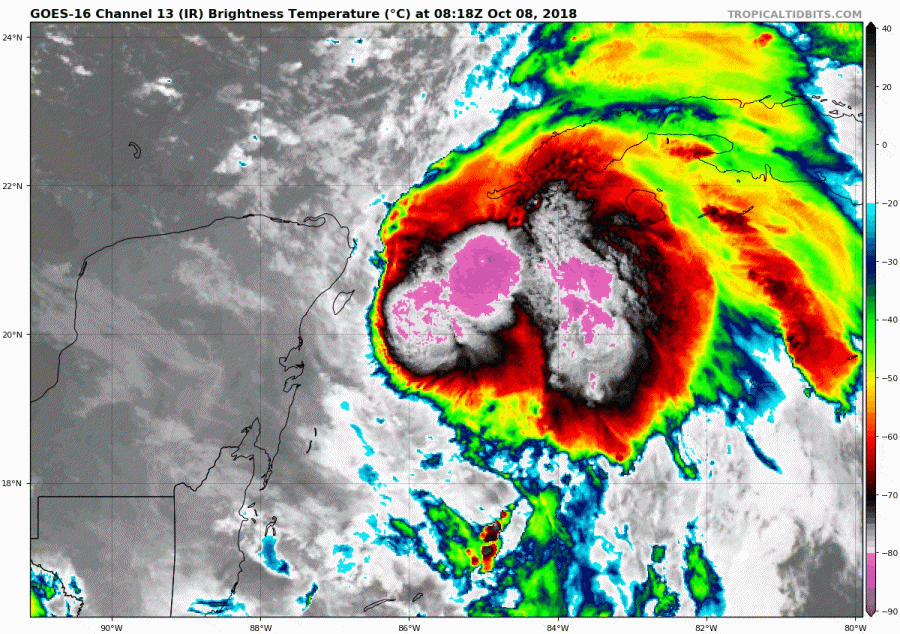
AOML hurricane researchers supported nearly all of the 50 missions NOAA’s Hurricane Hunter aircraft flew into eight tropical systems in 2018’s hurricane season, collecting data to help improve forecasts for future storms. The final flight into Hurricane Lane would make history for several reasons. Hurricane Lane was part of NOAA’s first hurricane deployment out of Hawaii, and one of those flights was led by the first all-female science crew on the flying laboratory. For Women’s History Month, we are proud to highlight this milestone and recognize the members of the first all-female science crew on a hurricane flight.
Read Full Article
AOML drives improvements to hurricane forecasts by leveraging expertise in tropical cyclone observations, research, and modeling. Our numerical weather modeling team uses HWRF to test new technology and advance hurricane prediction through data collection, assimilation, and experimental modeling.
Read Full Article
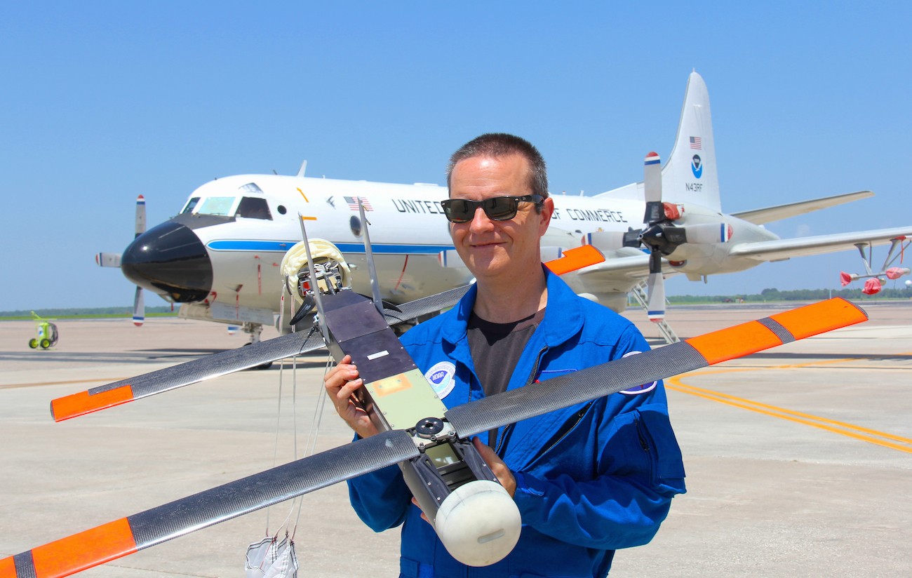
NOAA AOML scientists attended the Aviation Week and Science Technology Laureate Awards in Washington D.C. to receive Aviation Week magazine’s prestigious Laureate award for Dual Defense Use. The NOAA/Raytheon team was recognized for using Raytheon Coyote Unmanned Aircraft Systems (UAS) to track and model hurricanes.
Read Full Article
Scientists strategically deployed the gliders during the peak of hurricane season, from July through November 2017, collecting data in regions where hurricanes commonly travel and intensify. The gliders continually gathered temperature and salinity profile data, generating more than 4,000 profiles to enhance scientific understanding of the air-sea interaction processes that drive hurricane intensification.
Read Full Article
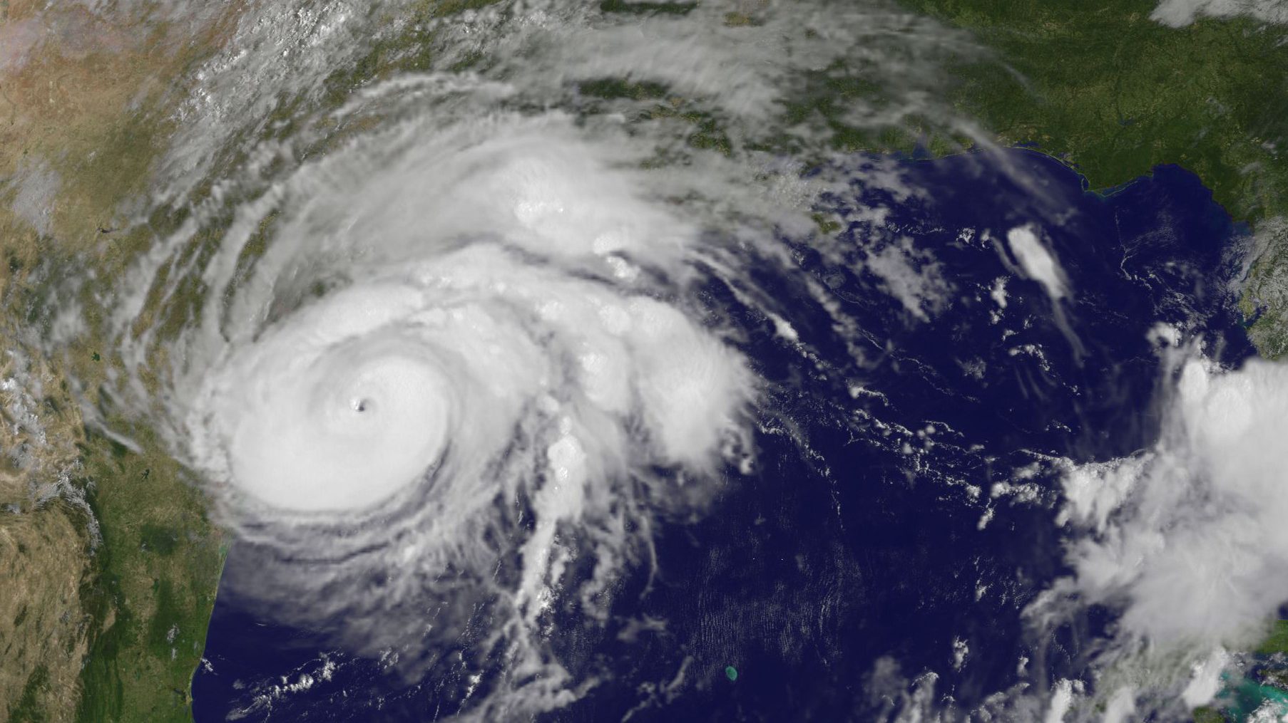
Over the past 20 years, improvements in hurricane computer modeling, observational instrumentation, and forecaster training have greatly increased forecast accuracy. The many complex interactions that occur within the atmosphere remain to be fully understood, especially at the small scales associated with tropical cyclones. However, these milestones mark critical advances in numerical weather prediction that are paving the way to the next generation of NOAA models. While hurricanes cannot be controlled, vulnerability to these complex storms can be reduced through preparedness. Early warning and improved accuracy of forecasts can help save lives and reduce property damages caused by hurricanes.
Read Full Article
AOML is currently in the midst of a multi-year effort called the Intensity Forecasting Experiment (IFEX). IFEX aims to improve the understanding and prediction of intensity change by collecting observations from all stages of a tropical cyclone life cycle—genesis to decay—to enhance current observational models. By building on years of observational expertise and cutting-edge approaches to data integration and model development, hurricane scientists at AOML lead advancements in observations and modeling that have improved intensity forecasts by 20% in recent years.
Read Full Article