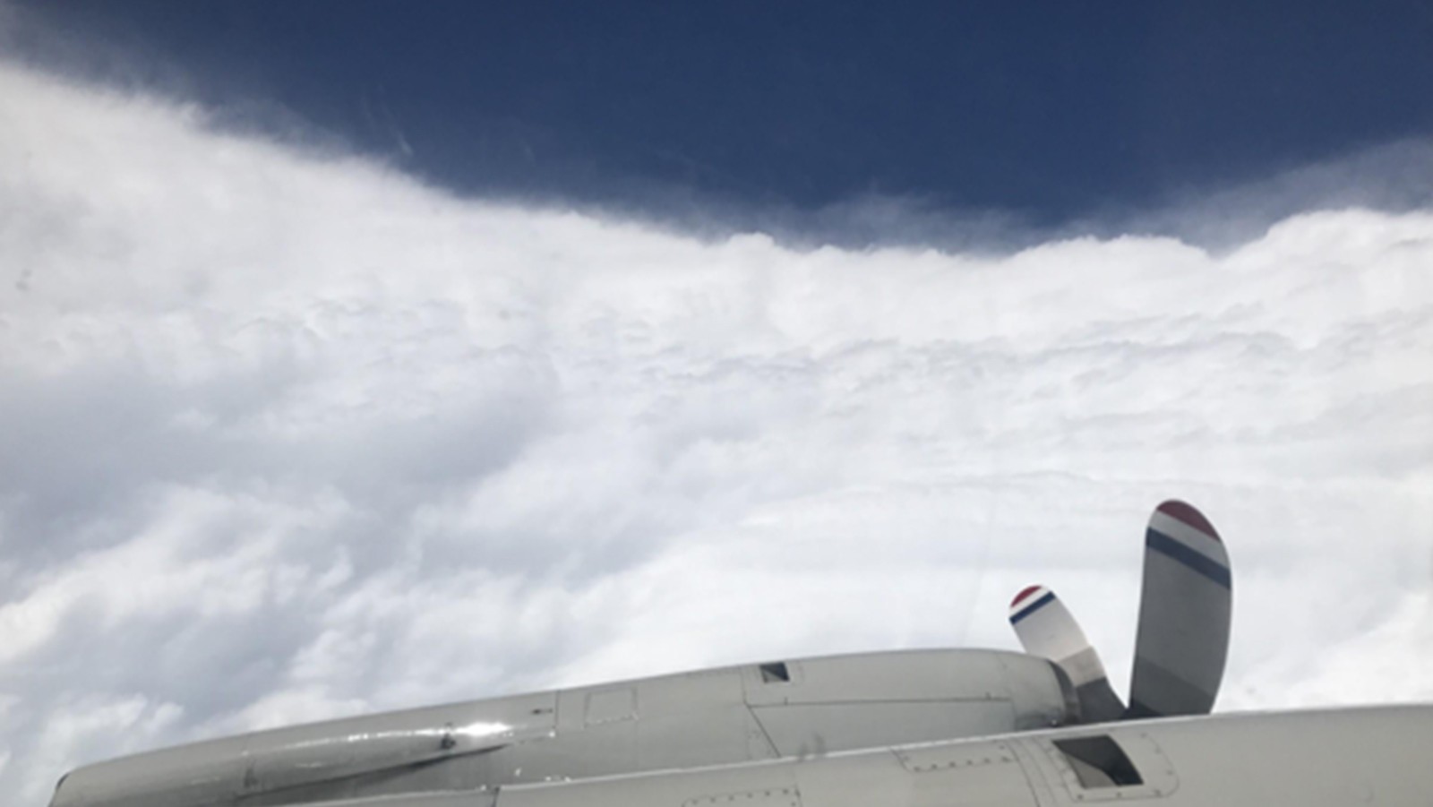

NOAA researchers have been working round the clock to collect vital data during Hurricane Dorian which is being used to improve present and future forecasts to protect and save vulnerable lives and property. Using technology aboard the NOAA Hurricane Hunter P-3 aircraft, AOML hurricane researchers were able to document the rapid intensification of Dorian as it approached the Bahamas, measuring sustained wind speeds of 185 mph. Intense winds like these have not been experienced since Hurricane Allen in 1980, making Dorian tied with Wilma, Gilbert, and the 1935 Labor Day hurricane as the second strongest wind speeds recorded in a storm.
Our scientists will continue to fly Dorian and other developing systems in the region and use the data they gather to feed forecast models and deliver up to date information to NOAA’s National Hurricane Center as Dorian progresses. For updates on Dorian, visit hurricanes.gov, and for tips to keep you and your families safe visit ready ready.gov.


