Tag: ocean observations

The Atlantic Meridional Overturning Circulation is weakening in the deep sea of the North Atlantic Ocean, Study Finds

Just in! A new study, which analyzed mooring observations and hydrographic data, found the Atlantic Meridional Overturning Circulation (AMOC) abyssal limb in the North Atlantic has weakened over the past two decades contributing to sea level rise in the region. 

Read Full Article

From Mississippi to Australia: 3 Research Cruises Depart to Improve Understanding of the Atlantic and Southern Ocean

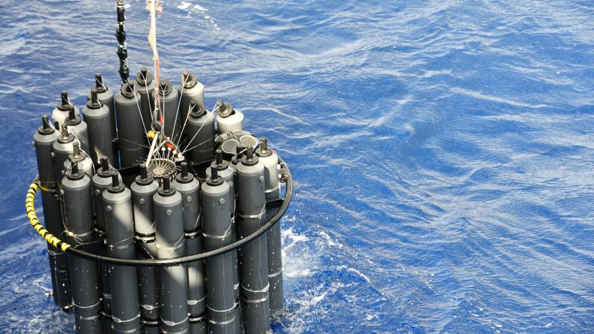
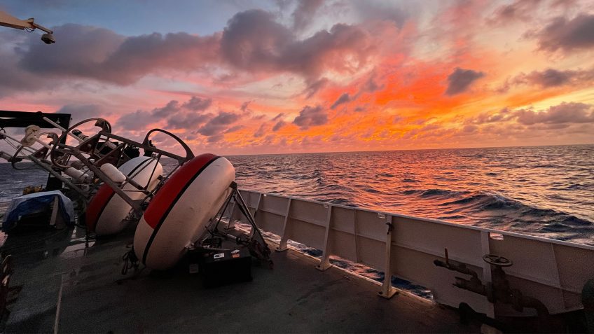
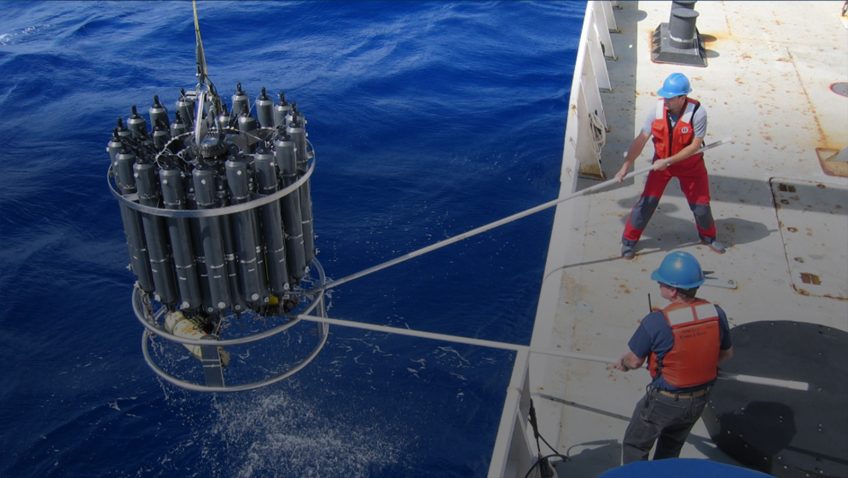
Scientists at NOAA’s Atlantic Oceanographic and Meteorological Laboratory (AOML) are gearing up for a busy season at sea with three research cruises departing in the month of February. The A13.5 Global Ocean Ship-based Hydrographic Investigations Program (GO-SHIP) cruise, the I08S GO-SHIP cruise, and the Prediction and Research Moored Array in the Tropical Atlantic (PIRATA) Northeast Extension cruise will all depart in February to collect samples from the surface to the depths of the ocean and improve our understanding of ocean circulation, carbon uptake, biological conditions, and climate variability. 

Read Full Article

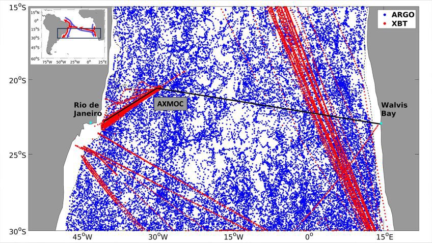
New Mapping Method Uses Sustained Observations to Estimate AMOC at 22.5°S

Changes in the Atlantic Meridional Overturning Circulation (AMOC) and its transport of heat can affect climate and weather patterns, regional sea levels, and ecosystems. A new study led by Ivenis Pita, a University of Miami PhD student working at NOAA’s Atlantic Oceanographic and Meteorological Laboratory/ the Cooperative Institute of Marine and Atmospheric Studies (CIMAS), is the first to estimate the AMOC and heat transport at 22.5°S in the South Atlantic, demonstrating the importance of sustained in situ observations to monitor the state of the AMOC. 

Read Full Article

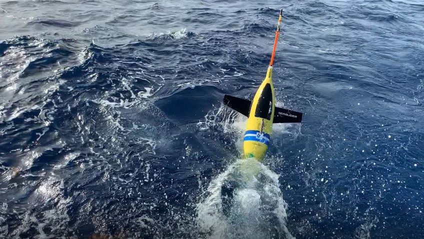
AOML Begins Tenth Year of Hurricane Glider Operations

This summer marks AOML’s tenth ­consecutive year of gathering underwater glider observations during the Atlantic hurricane season. The project began in 2014 with two gliders deployed off Puerto Rico to study the ocean’s role in tropical cyclone ­development and intensification. Since then, glider observations have become an ­integral part of the data ­gathered ­annually to improve tropical ­cyclone forecasts, as well as ­better understand how the ocean and ­atmosphere ­interact during the ­passage of tropical ­cyclones.

Read Full Article

Fifty-Five Days at Sea: Collecting Oceanographic Data from Brazil to Iceland

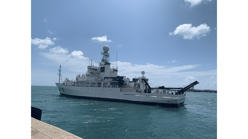
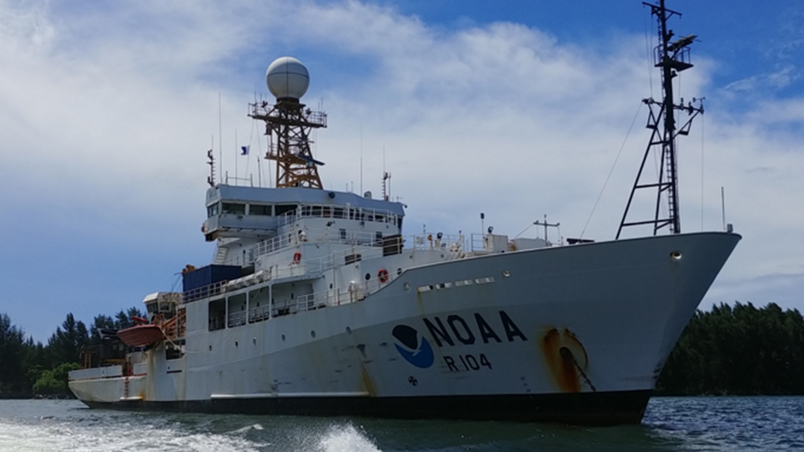
On May 9, a team of scientists aboard the NOAA Ship Ronald H. Brown arrived at their final destination in Reykjavik, Iceland following 55 days at sea. The team of 50 scientists and 28 crew members followed a track through the North Atlantic, from Brazil to Iceland, referred to as the A16N transect, and successfully completed 150 stations, collecting over 3,000 samples from the Atlantic’s surface to the seafloor, giving scientists a holistic snapshot of the Atlantic Ocean basin.

Read Full Article

Female Leaders Aboard the A16N GO-SHIP Cruise

In celebration of Women’s History Month, NOAA’s Atlantic Oceanographic and Meteorological Laboratory (AOML) would like to recognize two female scientists from our Ocean Chemistry and Ecosystems Division who are leaders aboard the A16N GO-SHIP (Global Ocean Ship-based Hydrographic Investigations Program) Repeat Hydrography cruise.

Read Full Article

First NOAA GO-SHIP Cruise In 5 Years Departs To Study Unique Atlantic Basin

Originally published at NOAA Global Ocean Monitoring & Observing on March 7th, 2023. 30-years of ocean observations provide view into long-term ocean trends On March 6, a team of scientists on the NOAA Ship Ronald H. Brown departed from Suape, Brazil for a 55-day cruise to the northerly waters of Reykjavik, Iceland. With 150 planned stops along this […]

Read Full Article

NOAA Cruise Ensures Flow of Critical Climate and Weather Data and Supports Collaborative Science

Researchers with NOAA’s Atlantic Oceanographic and Meteorological Laboratory (AOML), NOAA’s Pacific Marine Environmental Laboratory (PMEL), NOAA’s National Environmental Satellite, Data and Information Service, and partners set sail from Bridgetown, Barbados aboard NOAA Ship Ronald H. Brown on November 1st, 2022. Over the next 40 days, the crew and scientists recovered and redeployed key moorings in the Prediction and Research Moored Array in the Tropical Atlantic (PIRATA), deployed an additional mooring, and serviced two equatorial PIRATA buoys in support of the PIRATA Northeast Extension project and broader PIRATA objectives. They also conducted a number of research projects on the ocean and atmosphere that advance our understanding of carbon absorption in the ocean and atmospheric pollution.
Read Full Article