Tag: Jun Zhang

Hurricane Model that Follows Multiple Storms Improves Intensity Forecasts

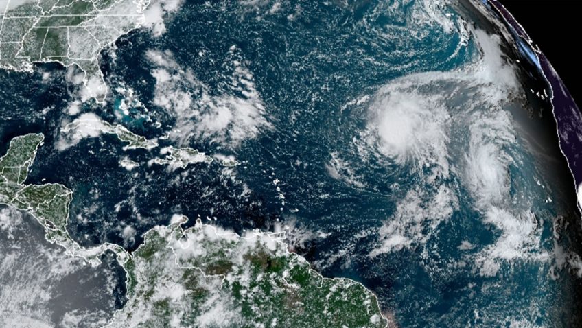
Warning the public of the damaging winds in tropical cyclones is critical for safeguarding communities in harm’s way. A new study by hurricane scientists at AOML is the first to quantify the value added to tropical cyclone intensity forecasts by storm-­following nests. The research, published in the Bulletin of the American Meteorological Society, demonstrates that storm-­following nests applied to multiple hurricanes in the same forecast cycle can improve intensity predictions by as much as 30%.

Read Full Article

Research Explores Impact of Wind Shear Direction on Tropical Cyclone Intensity

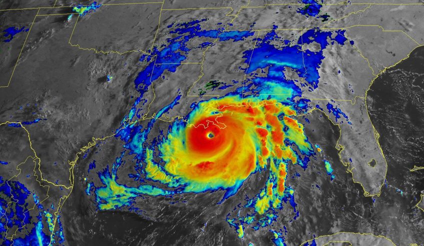
The amount of wind shear, i.e., the change of the wind with height, is one of the most commonly used predictors of tropical cyclone intensity change, with large amounts of wind shear generally being unfavorable for intensification. Regardless of the direction of the wind shear, tropical cyclones in the North Atlantic basin usually have warm, moist air from the environment near the sea surface on their east side (solid red arrows in the images) and cool, dry air from the environment on their west side (solid blue arrows in images).

Read Full Article

Scientists Sample Multiple Storms as Tropics Enter Peak for Hurricane Formation

Hurricane scientists at AOML sampled multiple storms this summer as the ­Atlantic entered its peak period for hurricane ­formation. From Elsa to Sam, the observations they gathered supported NOAA’s mission of preparing the public for severe weather by providing critical data for ­accurate, up-to-date forecasts.

Read Full Article

Ocean Conditions Played a Major Role in the Intensification of Hurricane Michael (2018)

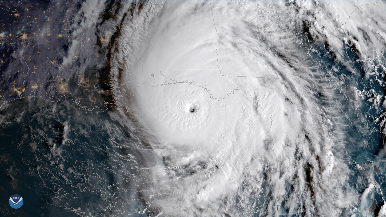
In a recent study published in AGU’s Journal of Geophysical Research – Oceans, scientists at AOML identified key ocean features that supported the rapid intensification of Hurricane Michael (2018), despite unfavorable atmospheric conditions for development. The study demonstrates the importance of using realistic ocean conditions for coupled (ocean-atmosphere) hurricane models in order to achieve the most accurate hurricane intensity forecasts.

Read Full Article

Ocean Drones Brave Hurricanes to Make Coastal Communities Safer

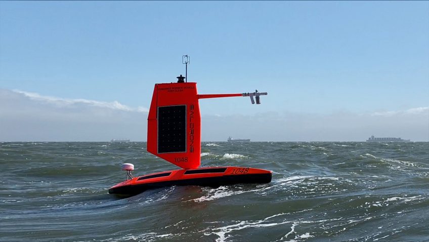
Saildrone is announcing a new mission to deploy five uncrewed surface vehicles (USVs) from the US Virgin Islands in August to gather key data throughout the 2021 Tropical Atlantic hurricane season. The USVs will be equipped with specially designed “hurricane wings” to enable them to operate in extreme conditions. Saildrones are the only USVs capable of collecting this data and are designed to withstand winds over 70 mph and waves over 10 feet, which occur during a hurricane weather system. The five saildrones will sail into the paths of hurricanes to provide valuable real-time observations for numerical hurricane prediction models and to collect new insights into how these large and destructive weather cells grow and intensify.

Read Full Article

New Study Looks at How Different Techniques to Model the Hurricane Boundary Layer Can Improve Forecasts

In a new study published in Atmosphere, hurricane scientists looked at how turbulent mixing in the boundary layer affects the intensity and structure of hurricanes in NOAA’s Hurricane Weather Research and Forecasting (HWRF) model. They found that turbulent mixing affects where thunderstorms in hurricanes occur, and how fast air flows towards the center of a storm.

Read Full Article