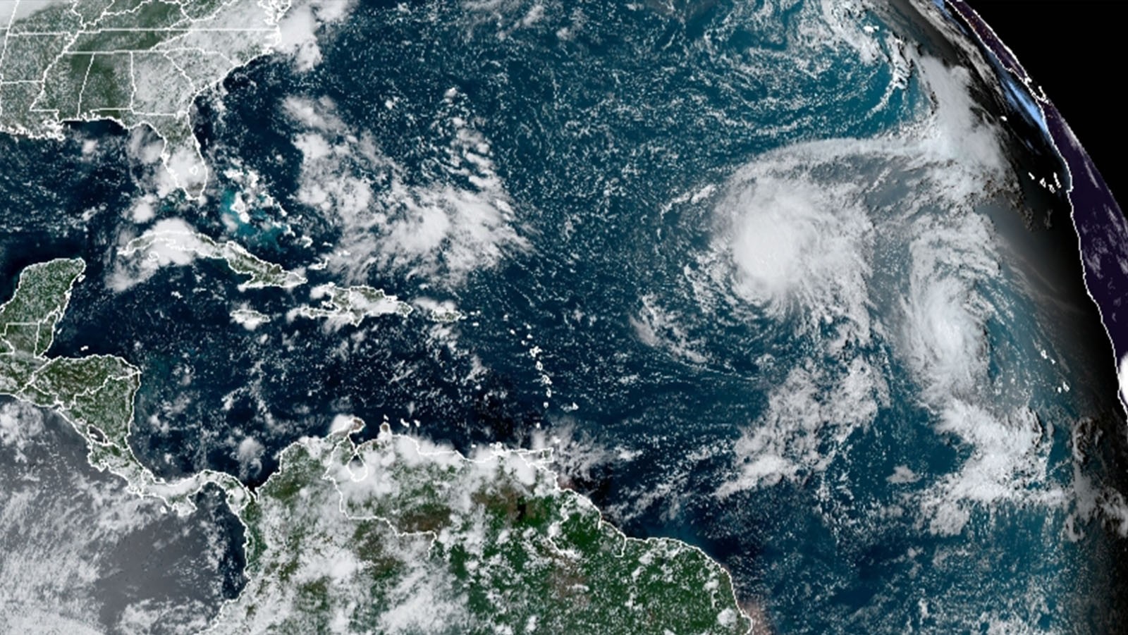

Warning the public of the damaging winds in tropical cyclones is critical for safeguarding communities in harm’s way. A new study by hurricane scientists at AOML is the first to quantify the value added to tropical cyclone intensity forecasts by storm-following nests. The research, published in the Bulletin of the American Meteorological Society, demonstrates that storm-following nests applied to multiple hurricanes in the same forecast cycle can improve intensity predictions by as much as 30%.
Accurate tropical cyclone intensity forecasts made by computer models require that the locations being forecast, called a grid, be close together. The distance between points on the grid, or the resolution, must be equal to or less than 3 kilometers to achieve what is referred to as “high resolution.” High-resolution models like NOAA’s Hurricane Weather Research and Forecasting (HWRF) model enable the tropical cyclone eye and eyewall, and the clouds and thunderstorms making up the eyewall and rainbands, to be forecast with accuracy.
These models usually “nest” high-resolution grids around the tropical cyclone inside larger grids with lower resolution to conserve the use of valuable computer resources. This seamless technology saves millions of hours of computational time and keeps computing costs viable.
In the current operational version of HWRF, these nests, or regions of high resolution, follow the tropical cyclone during the forecast. However, HWRF can only follow one tropical cyclone at a time with moving telescopic nests around that one storm. As a result, the effects that all active tropical cyclones have on one another are not always well predicted, and forecasts are not as accurate as they could be.
Recent advances to HWRF have enabled multiple sets of moving telescopic nests to follow more than one tropical cyclone at a time. To test whether having storm-following nests around all active tropical cyclones at the same time produced more accurate forecasts, scientists at AOML developed an experimental version of HWRF with moving nests around all active storms instead of just one.
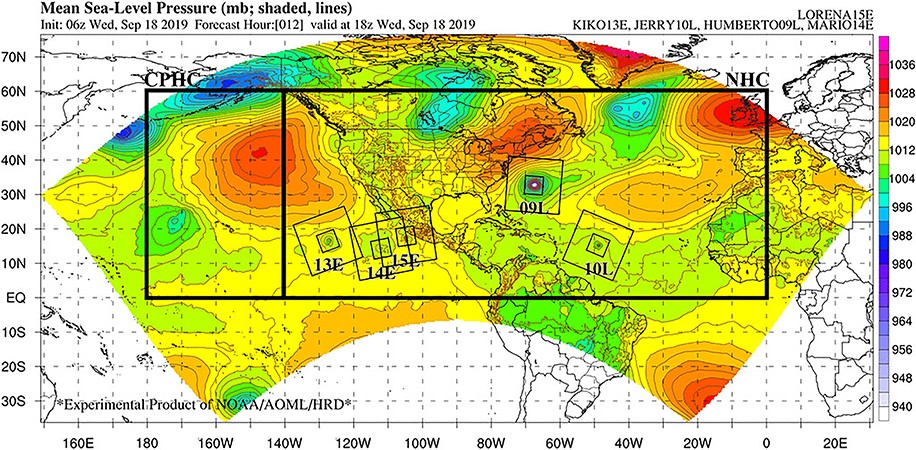
They ran more than 400 forecasts of two versions, i.e., a single-storm version versus a multi-storm version, to observe if moving nests around more than one tropical cyclone improved forecasts. The only difference between the two sets of forecasts was the number of storms that had telescopic moving nests.
When it came to moving nests, the more the merrier! Intensity forecasts improved as more tropical cyclones and, consequently, more moving nests were added to the model, with gains of up to 30%. Forecast improvements were observed for all types of tropical cyclone interactions, including when: (1) the cyclones were close enough to rotate around one another, i.e., “Fujiwhara effect”; (2) the cyclones were indirectly interacting through the same weather systems, for example, an upper-level low pressure system; and (3) the cyclones were thousands of kilometers apart, for example, located in different ocean basins.
“It is actually quite common for multiple hurricanes to be active at the same time, and they all communicate with one another,” said Ghassan Alaka, lead author of the study and a hurricane researcher at AOML. “This work shows that hurricane forecasts can improve substantially when we simulate that communication at high resolution with multiple moving nests.”
This study marks the first time the value added to tropical cyclone forecasts by storm-following nests has been directly measured, with intensity forecast improvements observed simply by adding nests to more than one tropical cyclone. The results will play a pivotal role in the development of storm-following nests for NOAA’s next-generation tropical cyclone modeling system, the Hurricane Analysis and Forecast System or HAFS.
HAFS is based on the framework of NOAA’s Unified Forecast System, an Earth modeling system that serves as the foundation for all of NOAA’s forecast applications. HAFS incorporates concepts from both the current operational and experimental versions of HWRF. It will be used during the 2022 hurricane season and beyond to provide forecast guidance on tropical cyclone track, intensity, and structure to NOAA’s National Hurricane Center.
Visit the Hurricane Modeling and Prediction Program website to learn more about AOML’s efforts to develop and advance NOAA’s hurricane research and forecast modeling systems. For experimental and tropical cyclone model guidance from HWRF, HAFS, and other numerical weather prediction models, visit the AOML Hurricane Model Viewer.
Reference:
Alaka, G.J. Jr., X. Zhang, and S.G. Gopalakrishnan, 2022: High-definition hurricanes: Improving forecasts with storm-following nests. Bulletin of the American Meteorological Society, 103(3): E680-E703, https://doi.org/10.1175/BAMS-D-20-0134.1.