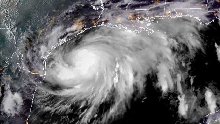
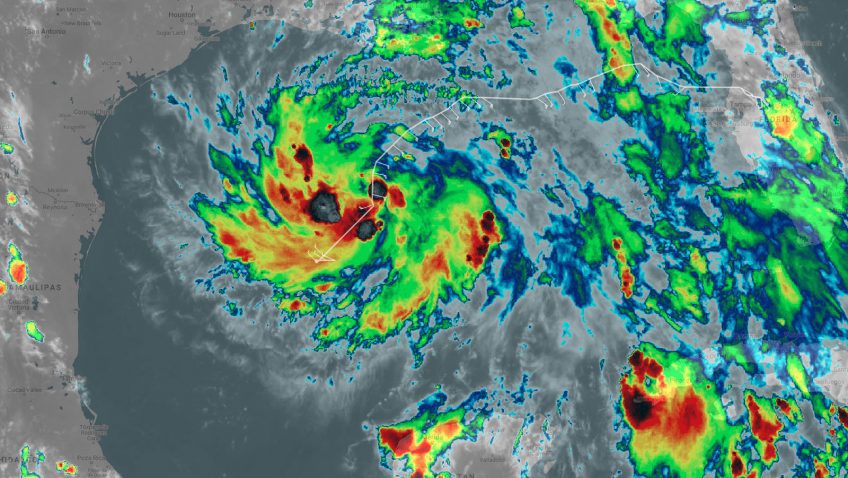
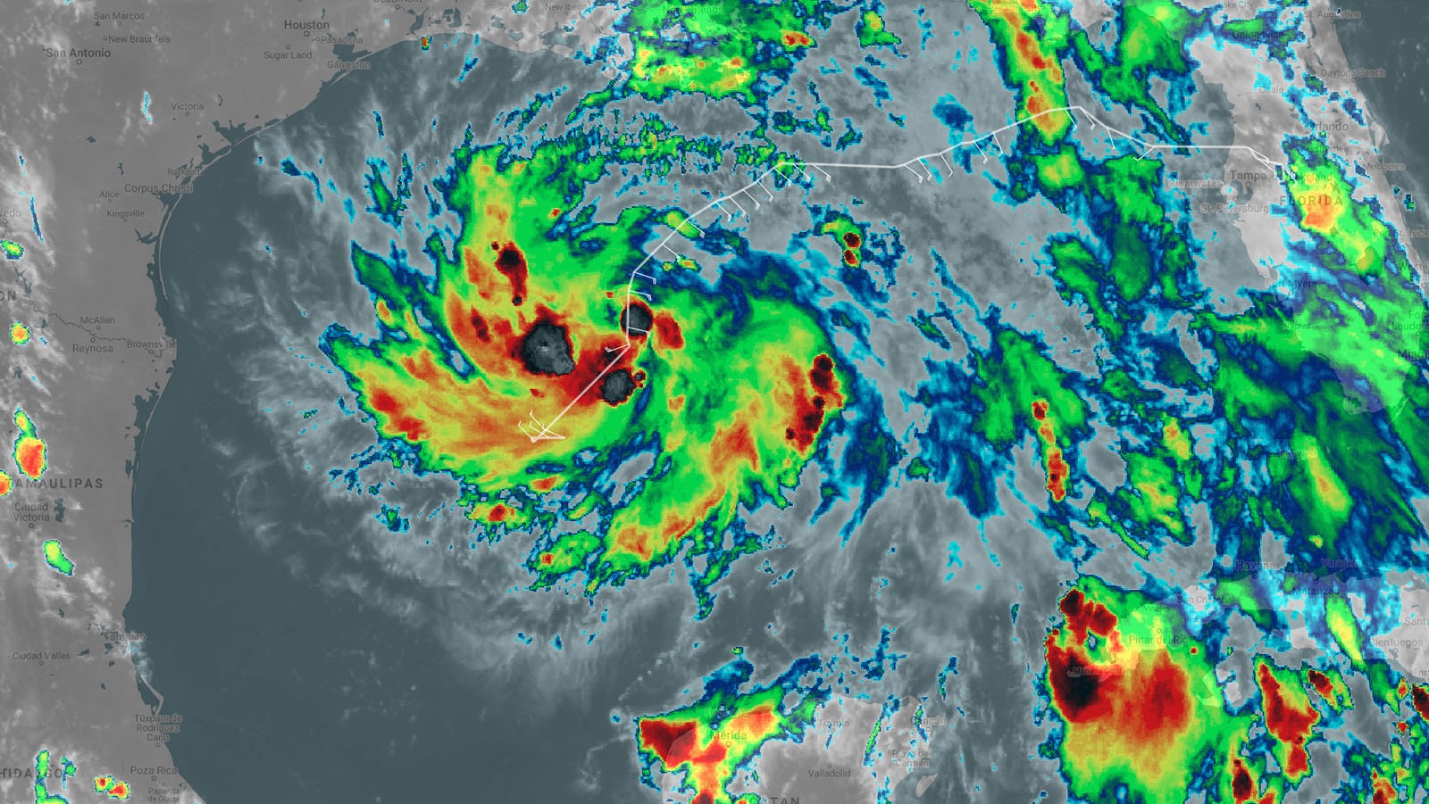
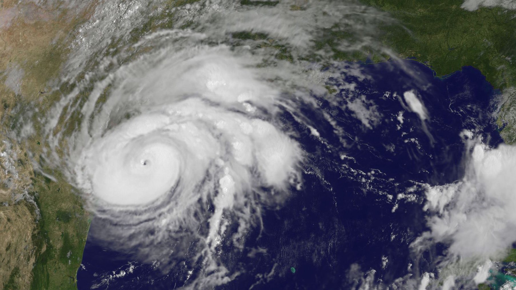
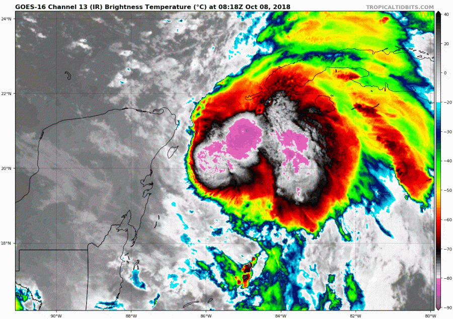
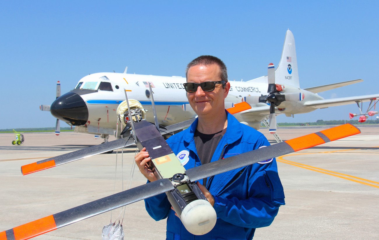
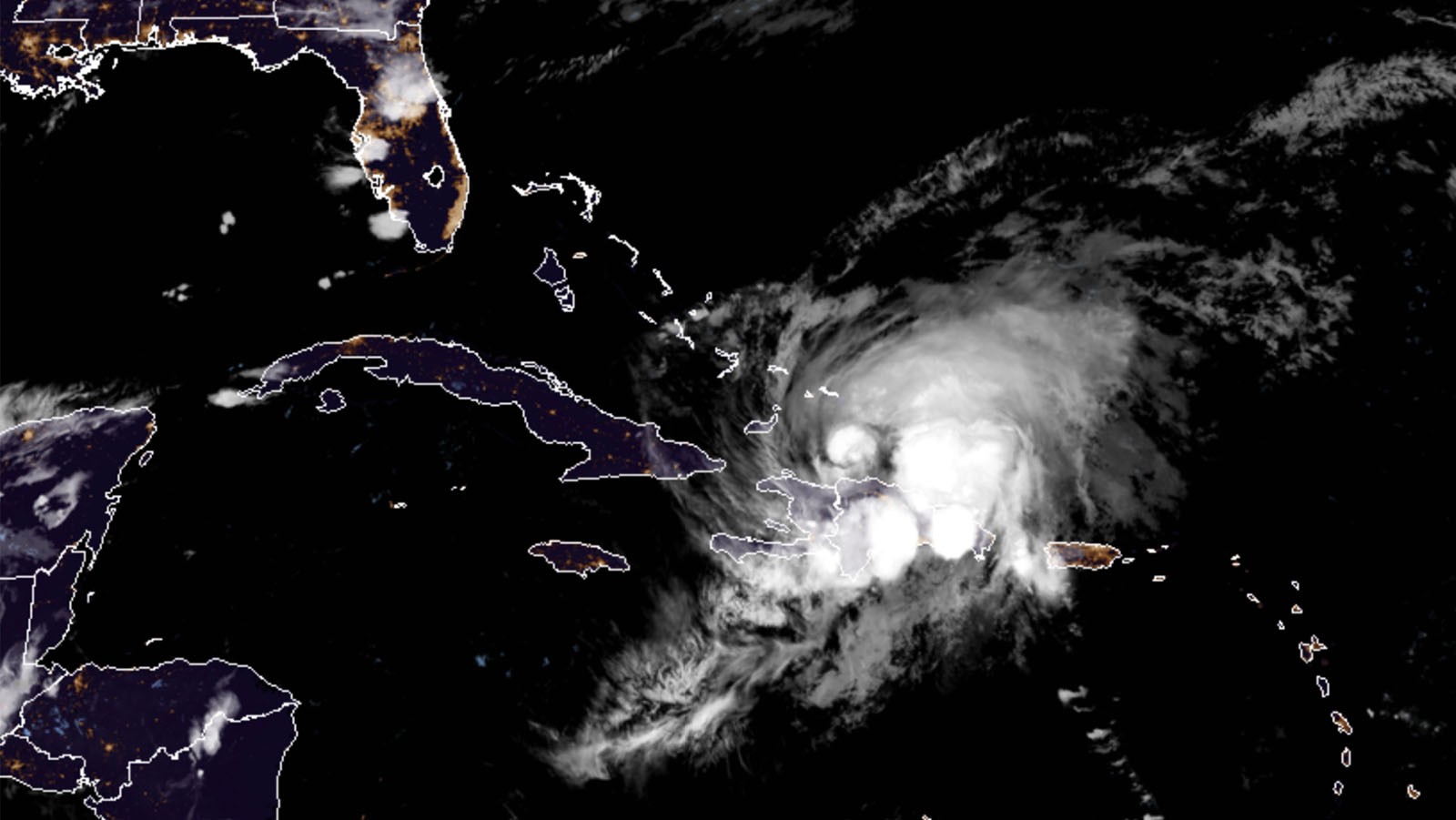
AOML Supports Operational Missions into Gulf of America Tropical Storm
The National Hurricane Center tasked NOAA’s Hurricane Hunter aircraft to investigate Tropical Depression Eight in the Gulf of America Thursday, July 23, 2020.
"
The National Hurricane Center tasked NOAA’s Hurricane Hunter aircraft to investigate Tropical Depression Eight in the Gulf of America Thursday, July 23, 2020.
Catastrophic Hurricane Dorian will be long remembered as one of the Atlantic basin’s most powerful landfalling hurricanes. NOAA Hurricane Hunters measured Dorian’s intensification from a weak tropical storm in the Caribbean to one of the Atlantic’s fiercest hurricanes. The data they gathered were vital to protecting life and property, supporting NOAA’s efforts to warn vulnerable communities of approaching severe weather through accurate forecasts.
Hurricane season is officially upon us and researchers at NOAA’s Atlantic Oceanographic and Meteorological Laboratory are excited about new model developments and innovative technology to improve hurricane forecasting. AOML’s deputy director, Molly Baringer, briefed Congresswomen Debbie Wasserman Schultz and Donna Shalala on May 30th, 2019 about the science behind the 2019 Atlantic Hurricane Season Outlook and advancements led by AOML and other NOAA offices in the field of hurricane forecasting.
AOML drives improvements to hurricane forecasts by leveraging expertise in tropical cyclone observations, research, and modeling. Our numerical weather modeling team uses HWRF to test new technology and advance hurricane prediction through data collection, assimilation, and experimental modeling.
NOAA AOML scientists attended the Aviation Week and Science Technology Laureate Awards in Washington D.C. to receive Aviation Week magazine’s prestigious Laureate award for Dual Defense Use. The NOAA/Raytheon team was recognized for using Raytheon Coyote Unmanned Aircraft Systems (UAS) to track and model hurricanes.
Throughout the Atlantic hurricane season, this autonomous underwater vehicle dives to depths up to 1,000 meters and travels thousands of kilometers across the Caribbean Sea.
With hurricane season in full swing, NOAA will host a Reddit Ask Me Anything (AMA) about the Science of Hurricane Hunting to Improve Forecasts on September 22, 2016 at 1:00 p.m. Hurricane scientist Frank Marks, Sc.D., Director of the Hurricane Research Division at AOML, and P-3 hurricane hunter pilot Commander Justin Kibbey of the NOAA Corps will answer questions. The first half of hurricane season has produced a significant number of storms in the Atlantic and Gulf of America. This AMA is a great opportunity to answer questions about how and why we study these storms.
NOAA Hurricane Hunters are flying back-to-back missions to study the newly developed Tropical Storm Hermine in the Gulf of America, capturing its evolution from a cluster of thunderstorms into a tropical storm. Getting data during such transitions can help improve hurricane models which currently don’t predict transitions well. Our understanding of the physical processes of early storm development remains limited, largely because there are few observations.
Scientists at NOAA’s Atlantic Oceanographic and Meteorological Laboratory (AOML) are at the vanguard of hurricane research. Each hurricane season we fly into storms, pore over observations and models, and consider new technological developments to enhance NOAA’s observing capacity and improve track and intensity forecasts. The 2016 hurricane season will provide an opportunity for our scientists to test some of the most advanced and innovative technologies and refined forecasting tools to help better predict a storm’s future activity.
As a hurricane approaches landfall, citizens are hoping that they are adequately prepared for the potential damage from strong winds and rising oceans. NOAA’s job is to forecast the storm location and strength, or intensity, to help communities make the best informed decisions. For many scientists, predicting intensity is a challenge at the forefront of hurricane research, and in recent years advancements in observations and modeling have improved NOAA’s forecasts of intensity by 20%. We are now at the point where scientists can observe and predict with very fine detail what is happening in the inner core of the storm.