NOAA Nancy Foster Research Cruise
Photos from the scientists and data from the NOAA Nancy Foster Cruise that sailed off in May. The Nancy Foster sailed out on a research survey to search for bluefin tuna larvae among other fishy creatures
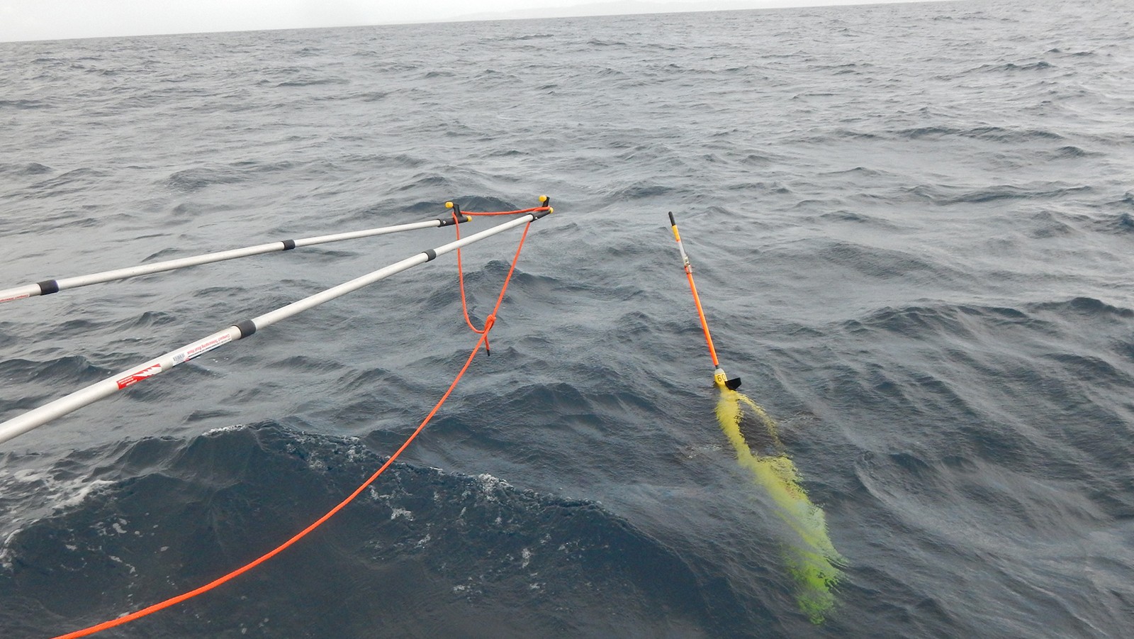
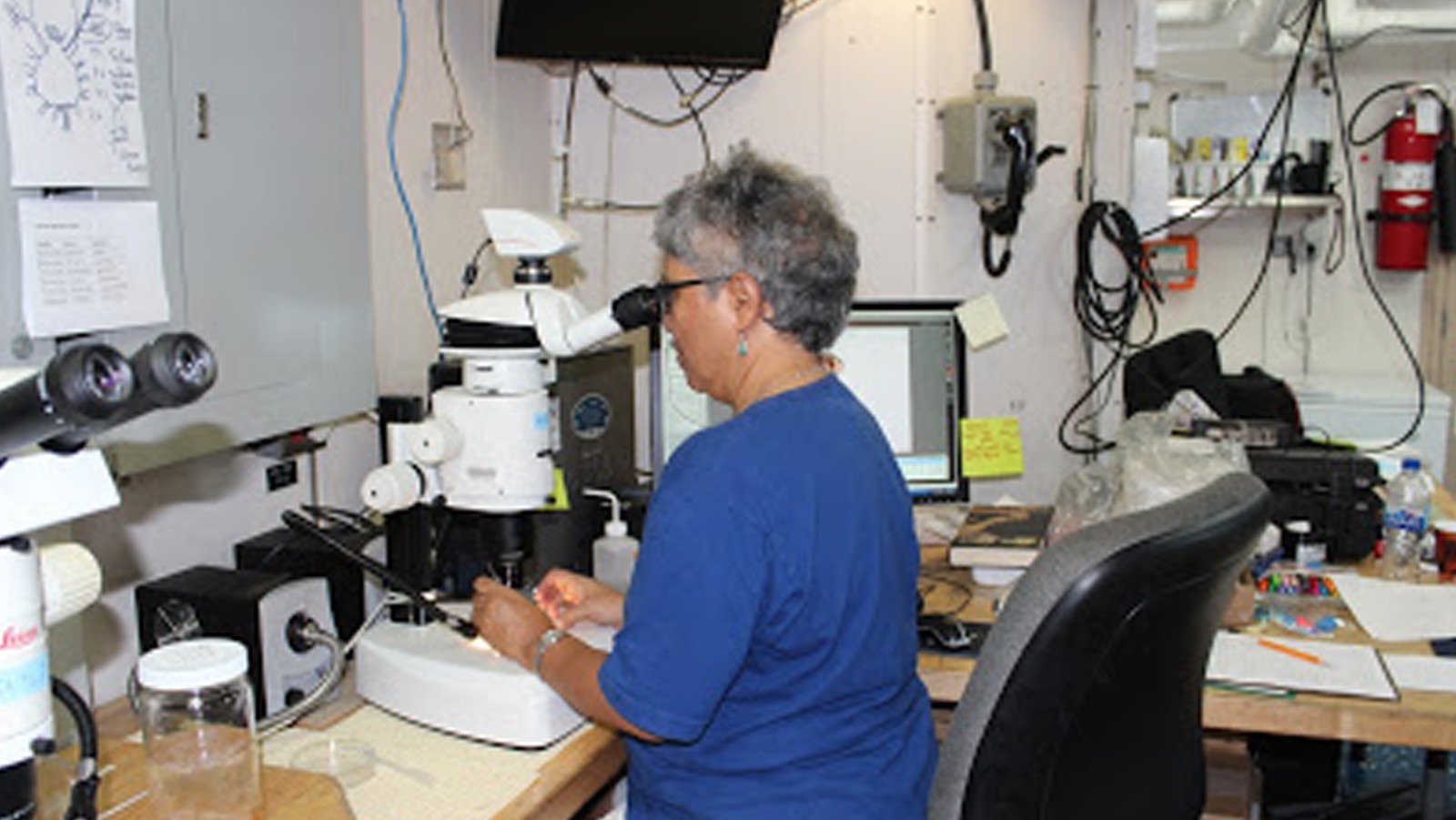
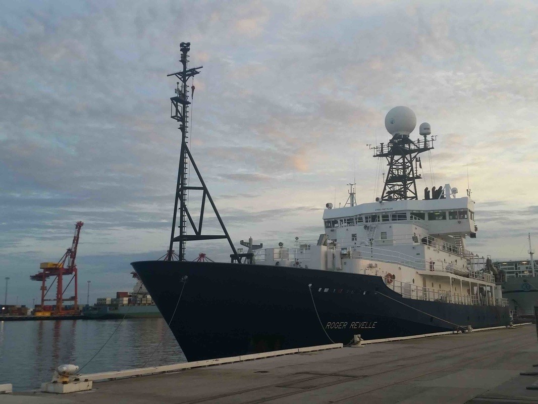
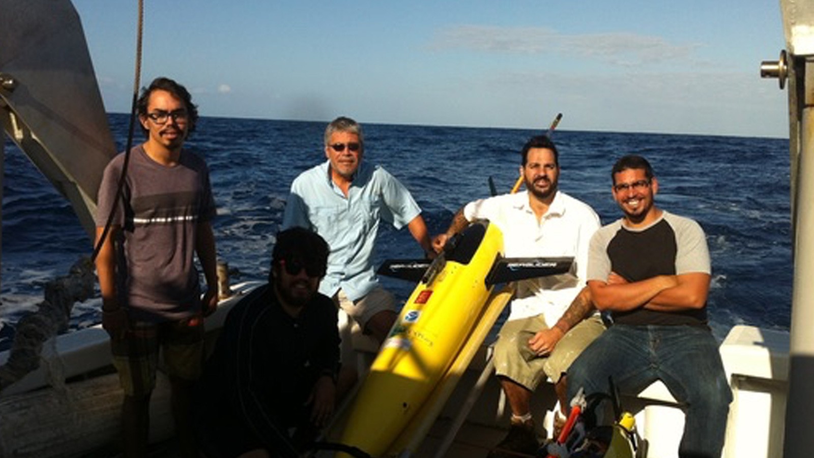
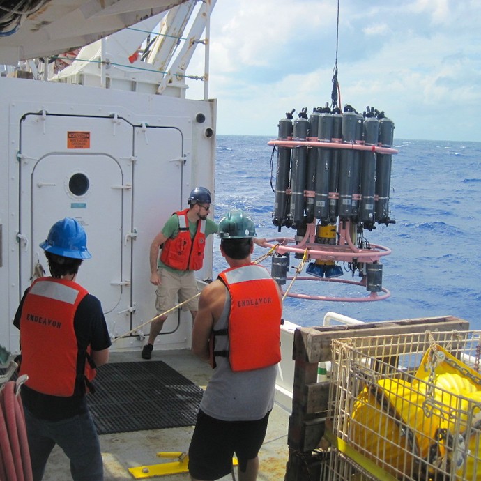
During the months of March and April, AOML joined an international team of oceanographers to actively sample the Indian Ocean in support of the Global Ocean Ship-Based Hydrographic Investigation Program (GO-SHIP), an initiative to measure and investigate the ocean basins from coast to coast and from top to bottom. Aboard the R/V Roger Revelle, the team transected the Indian Ocean from the Antarctic northward into the Bay of Bengal, collecting seawater samples at 113 stations as part of a multi-decadal effort to measure various ocean properties, including temperature, salinity, nutrients, carbon and other gases.
Photos from the March- April 2016 GO-SHIP cruise transecting the Indian Ocean.
The fourth underwater glider mission began in March with the deployment of two refurbished gliders in the Caribbean Sea off Puerto Rico. The deployment was carried out by AOML researchers on board the R/V La Sultana with the help of personnel from the University of Puerto Rico Mayaguez (UPRM).
Scientists and engineers from NOAA have successfully designed, built, and tested a new antenna system that dramatically increases data transmission reliability while drastically reducing operating costs. The new Iridium-based transmission system, developed by NOAA’s Atlantic Oceanographic & Meteorological Laboratory (AOML) & the Cooperative Institute for Marine & Atmospheric Studies (CIMAS), has no restrictions on data format or size, allowing data from various ocean and land-based observation platforms to be transmitted more securely and at a fraction of the cost of the older Inmarsat-C platform.
AOML researchers completed a Western Boundary Times Series cruise in February aboard the UNOLS Ship R/V Endeavor. The AOML team was supported by additional crew from the University of Puerto Rico.
Researchers with the Global Carbon Budget released their annual update for the global carbon budget in December 2015, revealing carbon dioxide (CO2) emissions from fossil fuels increased slightly in 2014 (+0.6%), but are projected to decline slightly (by est. -0.6%) in 2015. The global oceans serve as a natural buffer, offsetting increased emissions by absorbing an estimated 27% of human-produced CO2 from the atmosphere in 2014. Data collected, in part, from long-term surface ocean CO2 monitoring efforts, funded by NOAA’s Climate Program Office and the Ocean Acidification Program, indicate that the oceans removed about 10.7 billion tons of CO2 from the atmosphere in 2015.
On November 16th-18th, AOML physical oceanographers partnered with the University of Puerto Rico to successfully recover two underwater gliders from the Caribbean Sea aboard the M/V La Sultana of the University of Puerto Rico Mayaguez. Over the course of the summer, the gliders successfully transected a region in the eastern Caribbean providing approximately 3000 profile observations of temperature, salinity, oxygen, and surface as well as depth-average current velocities.
AOML oceanographers are participating in a joint research cruise to study the Meridional Overturning Circulation onboard the R/V Endeavor during October 3-20. The team will sail from Fort Lauderdale, FL to collect roughly 55 full-depth conductivity-temperature-depth (CTD) profiles in the Florida Current and the Deep Western Boundary Current east of the Bahamas. The scientists will also work with their partners from the University of Miami to recover, redeploy, and maintain three tall moorings and nine smaller moored instruments during this cruise in support of the NOAA Western Boundary Time Series project and its partner National Science Foundation project.
Hurricanes are known to drive the cooling of surface waters as they travel over the ocean, leaving a cooling swath where they pass. The sea surface cooling is mostly caused by mixing forced by the strong winds of the hurricane, which occurs as the mixture of warm surface waters with colder waters that can be as deep as 100 m below the surface.