Category: Research Partnerships

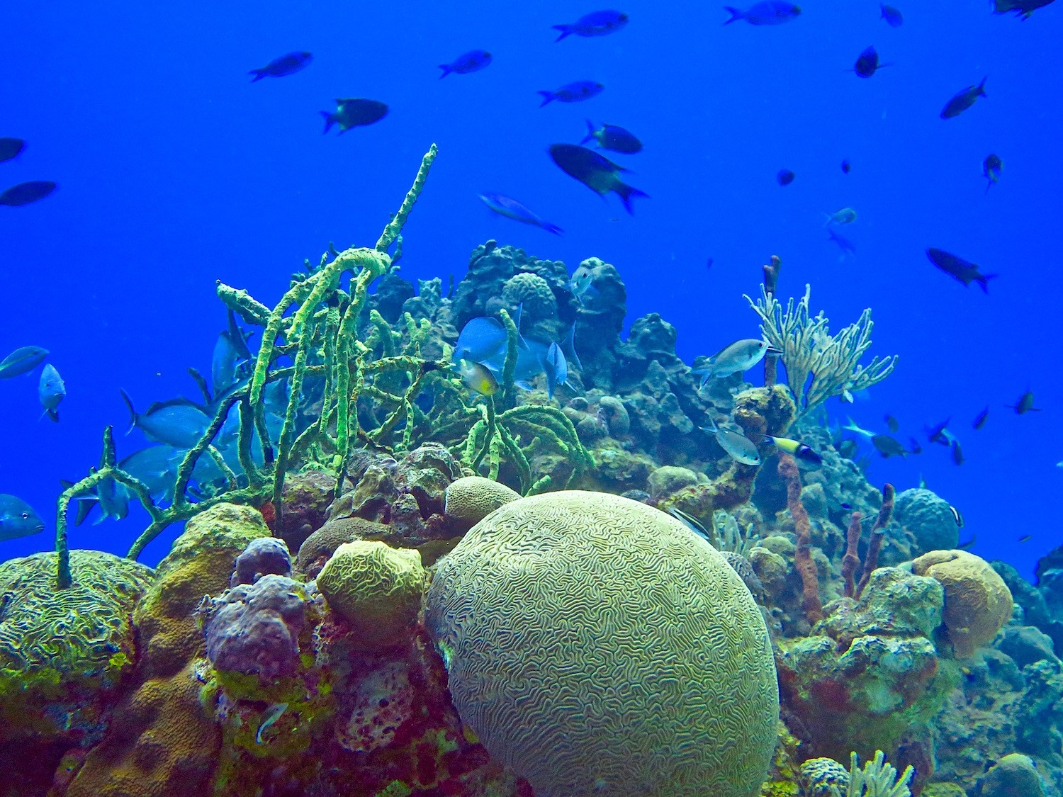
Galapagos Islands: A Telling Study Site for Coral Reef Scientists

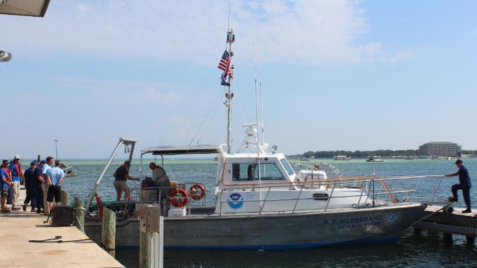
Coral scientists recently traveled to the Galapagos Islands to document coral reef health following the 2016-17 El Niño Southern Oscillation event (ENSO), which bathed the region in abnormally warm waters. Historically, these events have triggered coral bleaching and large-scale mortality, as seen in response to ENSO events of 1982-83 and 1997-98. Interestingly, these same reefs exhibited minimal bleaching in response to this most recent event. Scientists are determining whether this response is due to differing levels of heat stress, or an increased tolerance to warm water in the remnant coral communities.

Read Full Article

Storymap: Gliding Through the Blue Frontier

Glider SG609 is one of four gliders that are part of the Hurricane Field Program at NOAA’s Atlantic Oceanographic and Meteorological Laboratory. AOML launched its glider project in 2014 with the goal of enhancing the understanding of air-sea interaction processes during tropical cyclones. Scientists and technicians from AOML and the University of Puerto Rico at Mayagues run the deployments and recoveries out of Isla Magueyes Marine Laboratories in Puerto Rico, which neighbors the colorful coastal island community of La Paguera.

Read Full Article

Technology and Modeling Innovations Usher in the 2016 Hurricane Season

Scientists at NOAA’s Atlantic Oceanographic and Meteorological Laboratory (AOML) are at the vanguard of hurricane research. Each hurricane season we fly into storms, pore over observations and models, and consider new technological developments to enhance NOAA’s observing capacity and improve track and intensity forecasts. The 2016 hurricane season will provide an opportunity for our scientists to test some of the most advanced and innovative technologies and refined forecasting tools to help better predict a storm’s future activity.

Read Full Article

Collaborative NOAA Research Cruise Studies Role of Ocean Currents in Larval Fish Distribution in Gulf of Mexico and Caribbean

A team of NOAA oceanographers sets sail from Miami aboard the NOAA Ship Nancy Foster on May 7th to investigate ocean currents and fish larvae distribution in the southern Gulf of Mexico and western Caribbean. The joint cruise between NOAA’s Atlantic Oceanographic and Meteorological Laboratory (AOML) and Southeast Fisheries Science Center (SEFSC) is a new chapter in a long-term effort that pools cross-line office resources to better understand the early life history and larval recruitment pathways of important fisheries in the region, including the ecologically important and commercially valuable Atlantic bluefin tuna.

Read Full Article

Ocean Temperatures May Hold Key to Predicting Tornado Outbreaks

Tornadoes are one of nature’s most destructive forces. Recent violent and widespread tornado outbreaks in the United States, such as occurred in the spring of 2011, have caused significant loss of life and property. Currently, our capacity to predict tornadoes and other severe weather risks does not extend beyond seven days. Extending severe weather outlooks beyond seven days will assist emergency managers, businesses, and the public prepare the resources needed to prevent economic losses and protect communities. So how can scientists better predict when and where tornadoes are likely to strike, before the tornado season begins?

Read Full Article

NOAA Advances Hurricane Research Technology with Improved Unmanned Aerial Vehicles

A team from NOAA and Raytheon successfully demonstrated recent advancements of the Coyote Unmanned Aircraft System (UAS) while completing a mid-flight launch from the NOAA P-3 Hurricane Hunter aircraft on January 7th. The successful flight verified new technology designed to improve Coyote’s ability to collect vital weather data to improve hurricane forecasts.

Read Full Article

AOML-led Carbon Dioxide Sampling Effort Helps Quantify the Ocean’s Role in Global Carbon Budget

Researchers with the Global Carbon Budget released their annual update for the global carbon budget in December 2015, revealing carbon dioxide (CO2) emissions from fossil fuels increased slightly in 2014 (+0.6%), but are projected to decline slightly (by est. -0.6%) in 2015. The global oceans serve as a natural buffer, offsetting increased emissions by absorbing an estimated 27% of human-produced CO2 from the atmosphere in 2014. Data collected, in part, from long-term surface ocean CO2 monitoring efforts, funded by NOAA’s Climate Program Office and the Ocean Acidification Program, indicate that the oceans removed about 10.7 billion tons of CO2 from the atmosphere in 2015.

Read Full Article

New Virtual Stations Enhance Coral Monitoring Efforts in Caribbean

AOML’s Coral Health and Monitoring Program (CHAMP) rolled out a new data source in October as part of its online data query tool. Optimally Interpolated Sea Surface Temperatures, or OISSTs, are data from microwave satellite observation platforms, products that are sourced from Remote Sensing Systems. Whereas other sea surface temperature sources might be missing data due to orbital gaps or non-ideal environmental conditions such as cloud cover or rainfall, the OISST platform corrects for these errors to provide a complete, daily sea surface temperature map that can benefit coral health and monitoring efforts worldwide.

Read Full Article

SEFSC & AOML Partner to Tag Leatherback Turtles in the Gulf of Mexico

A team of NOAA scientists from the Southeast Fisheries Science Center (SEFSC) and AOML conducted a survey aboard the NOAA research vessel Hildebrand to capture, tag and release leatherback sea turtles in the Gulf of Mexico. The survey, which took place off the coast of the Florida Panhandle, was the first directed research on leatherbacks in Gulf waters. The team of scientists sought to obtain accurate information on these endangered animals in order to answer questions relating to habitat use, migrations, and distribution within the Gulf region. After locating a turtle with help from spotters in NOAA aircraft, each turtle was secured with a net and brought to the vessel to be measured and equipped with a satellite tag, which will collect data on dive patterns and water temperatures in addition to long-term movement. The team successfully tagged a total of six turtles during the survey. The team also assisted in the scheduled release of a female leatherback that had stranded earlier in September off of Fort Walton Beach, FL. The turtle, which had been rehabilitated at the local Gulfarium Marine Adventure Park, was brought aboard the R/V Hildebrand in Destin, FL and successfully released 20 miles offshore.

Read Full Article