Tag: Saharan Air Layer Stories

The Saharan Air Layer: What is it? Why does NOAA track it?

Originally Published Wednesday, June 24, 2020 at NOAA NESDIS

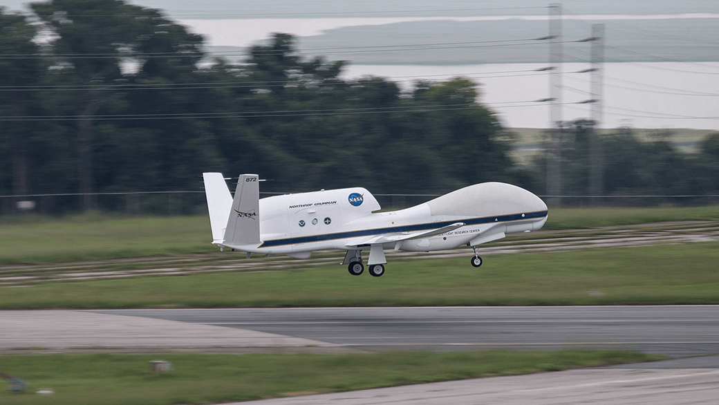
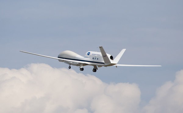
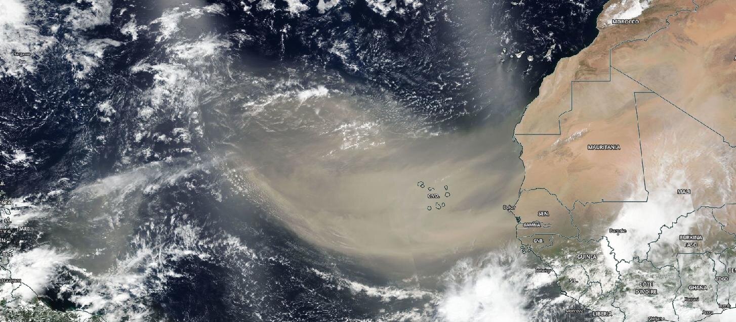
As we move through the 2020 Atlantic Hurricane Season, you will no doubt hear a lot about the Saharan Air Layer—a mass of very dry, dusty air that forms over the Sahara Desert during the late spring, summer and early fall. This layer can travel and impact locations thousands of miles away from its African origins, which is one reason why NOAA uses the lofty perspective of its satellites to track it.

Read Full Article

Hurricane Danny & Tropical Storm Erika Provide Wealth of Research Opportunities for the 2015 Hurricane Field Program

AOML’s hurricane researchers conducted a number of field activities in August that provided data and critical insights into two Atlantic tropical cyclones, Danny and Erika. The two storms enabled researchers to test new instruments in support of the 2015 Hurricane Field Program and conduct research that will benefit future forecasts. Among the highlights were more than 15 successful manned and unmanned aircraft missions into Danny and Erika to collect and provide real-time data to the National Hurricane Center (NHC), as well as evaluate forecast models.

Read Full Article

NOAA Supports NASA’s HS3 Global Hawk Hurricane Missions

NOAA hurricane scientists are expanding their observations this summer, working with NASA’s Hurricane and Severe Storm Sentinel (HS3) mission and its innovative Global Hawk unmanned aerial vehicles to push the boundaries of hurricane operations. NASA looked to NOAA’s hurricane experts to augment its HS3 science team, supporting their five-year mission to investigate the processes that underlie hurricane formation and intensity change in the Atlantic Ocean basin.

Read Full Article