NOAA’s Atlantic Oceanographic and Meteorological Laboratory (AOML) is excited to announce the selection of Dr. Ghassan “Gus” Alaka as the new Director of the Hurricane Research Division (HRD). As a vital member of the AOML team since 2014, Alaka brings a wealth of experience and expertise to the role. Alaka’s journey with AOML began when […]
Read Full Article
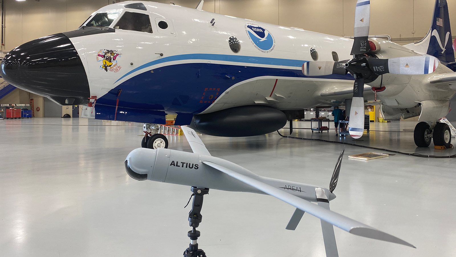
One of the largest challenges in hurricane research is studying the inner dynamics of a storm. The regions within the hurricane that provide the most valuable data are often the most inaccessible and dangerous to reach, creating an opportunity for researchers to utilize emerging technology to enter the storm. Small uncrewed aircraft systems (sUAS), commonly […]
Read Full Article
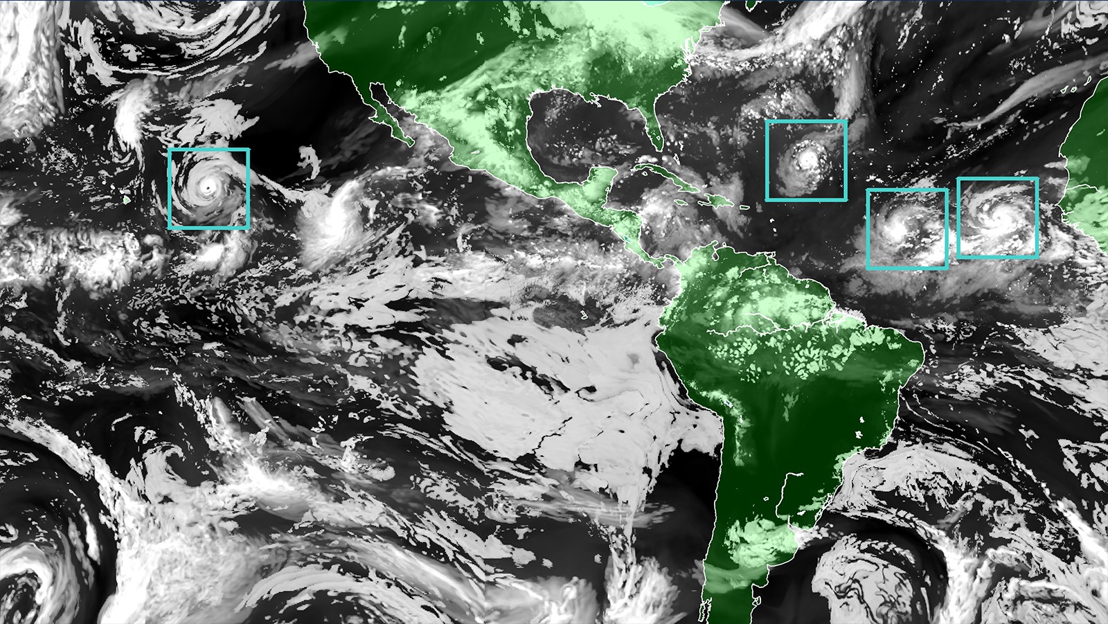
In early July, the Caribbean experienced 165 mph winds as Category 5 Hurricane Beryl swept through the region. Beryl was unprecedented, becoming the Atlantic’s earliest forming Category 5 tropical cyclone on record. The storm developed and rapidly intensified to maximum wind speed in less than four days – a behavior uncommon this early in the season. Despite the unprecedented intensification, hurricane scientists with NOAA’s Atlantic Oceanographic and Meteorological Laboratory were prepared.
Read Full Article
Observational Instruments Hurricane observational instruments allow scientists to collect real-time data that improves the accuracy of hurricane forecasts and provides critical information for weather prediction models. SCROLL TO LEARN MORE Researchers at the Atlantic Oceanographic and Meteorological Laboratory (AOML) employ an array of instruments to gather data from inside hurricanes. These instruments range [...]
Read Full Article
November 30th marks the official end to the 2023 Atlantic hurricane season. Scientists and forecasters from across NOAA pushed boundaries as they worked throughout this active season to conduct crucial tropical cyclone research that will strengthen our ability to forecast future tropical cyclone development and better protect those most affected.
Read Full Article
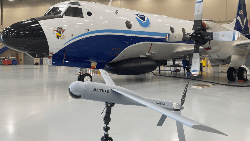
NOAA hurricane researchers successfully deployed a new uncrewed aircraft system (UAS) into Tropical Storm Tammy (2023) near an uncrewed surfance vehicle, saildrone, to measure parts of the storm too dangerous for humans to go. The Altius 600 UAS was launched from the NOAA WP-3D Orion Hurricane Hunter aircraft by scientists from NOAA’s Atlantic Oceanographic and Meteorological Laboratory during missions into the storm in coordination with the saildrone researchers and pilots.
Read Full Article
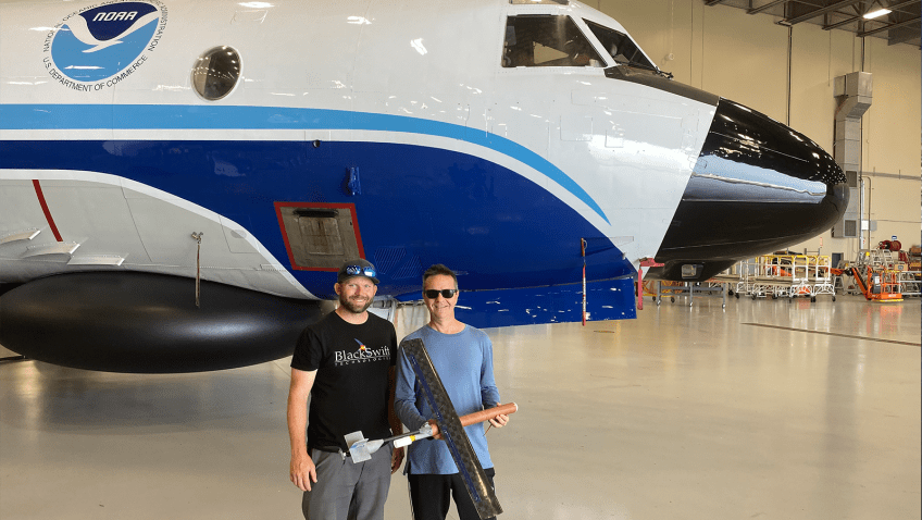
NOAA hurricane researchers successfully deployed a new uncrewed aircraft system (UAS) into Tropical Storm Tammy (2023) to measure parts of the storm too dangerous for humans to go. The Black Swift Technologies S0™ UAS was launched from the NOAA WP-3D Orion Hurricane Hunter aircraft by scientists from NOAA’s Atlantic Oceanographic and Meteorological Laboratory during missions into the storm as it strengthened and headed closer to the Leeward Islands of the Caribbean.
Read Full Article
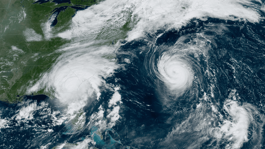
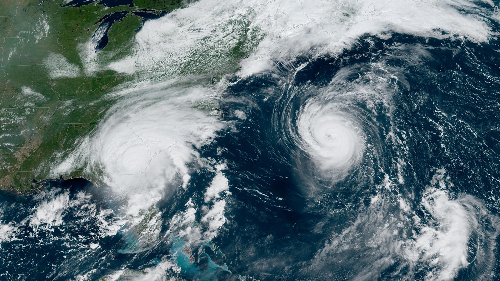
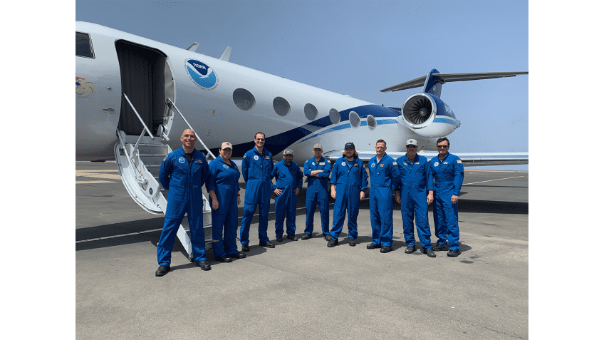
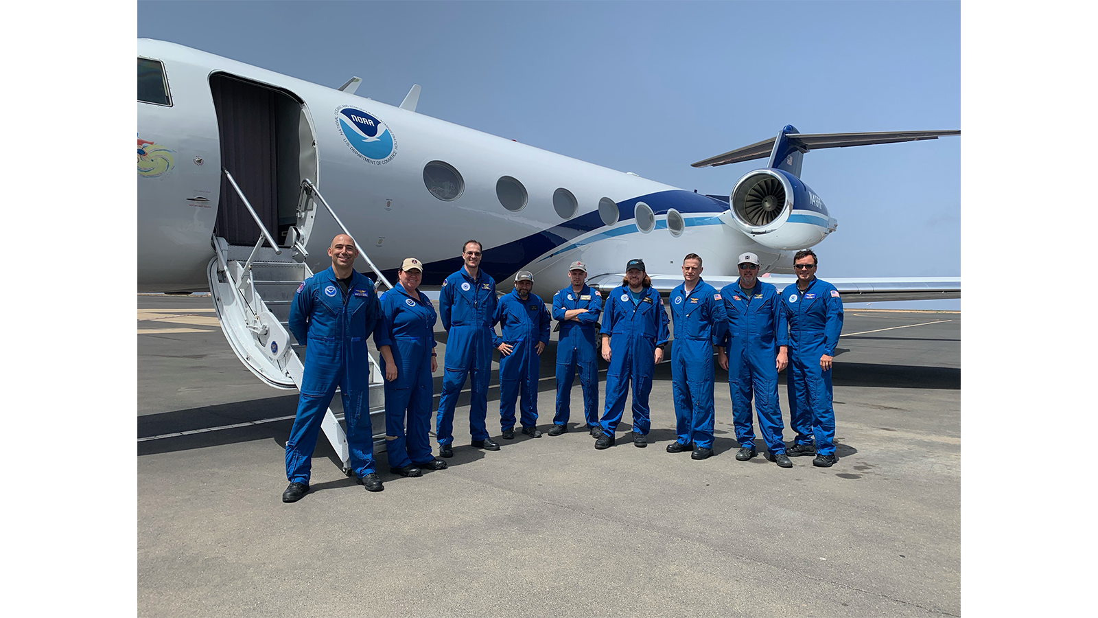
As Hurricanes Franklin and Idalia strengthened in late August, NOAA scientists collected critical data from the air, sea surface, and underwater to enhance forecasts and increase scientific knowledge. In less than two weeks, a fleet of strategically placed oceanographic instruments gathered temperature, salinity, and surface wind speed data, while NOAA’s Hurricane Hunter aircraft repeatedly flew […]
Read Full Article
AOML’s Hurricane Modeling Group was founded in 2007 to advance hurricane forecast models through development and targeted research. From inception, the team has worked to improve NOAA’s hurricane modeling systems; first with the legacy Hurricane Weather Research Forecast (HWRF) model, and now with its transition to the next generation model, Hurricane Analysis and Forecast System (HAFS).
Read Full Article
Researchers at NOAA seek new techniques to advance hurricane forecasts to better protect life and property. In preparation for the upcoming 2023 hurricane season, which begins June 1, scientists are accelerating the use of small uncrewed aircraft technologies and the collocation of observational ocean assets, among other advancements. Here are five ways that NOAA researchers are improving hurricane track and intensity forecasts:
Read Full Article