Author: AOML Communications

Fifty-Five Days at Sea: Collecting Oceanographic Data from Brazil to Iceland

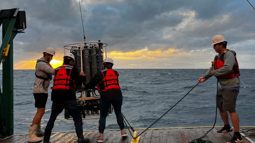
On May 9, a team of scientists aboard the NOAA Ship Ronald H. Brown arrived at their final destination in Reykjavik, Iceland following 55 days at sea. The team of 50 scientists and 28 crew members followed a track through the North Atlantic, from Brazil to Iceland, referred to as the A16N transect, and successfully completed 150 stations, collecting over 3,000 samples from the Atlantic’s surface to the seafloor, giving scientists a holistic snapshot of the Atlantic Ocean basin.

Read Full Article

NOAA Scientists Publish a New River Chemistry and Discharge Dataset for U.S. Rivers

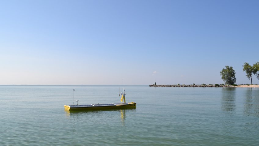
A new river chemistry and discharge dataset for U.S. coasts has been released. A recent publication by scientists at NOAA’s Atlantic Oceanographic and Meteorological Laboratory (AOML), Northern Gulf Institute (NGI), and NOAA’s Geophysical Fluid Dynamics Laboratory (GFDL) provides a river chemistry and discharge dataset for 140 U.S. rivers along the West, East, and Gulf of America coasts, based on historical records from the U.S. Geological Survey (USGS) and the U.S. Army Corps of Engineers. This dataset will be very useful for regional ocean biogeochemical modeling and carbon chemistry studies. 

Read Full Article

Five ways NOAA’s research improves hurricane forecasts

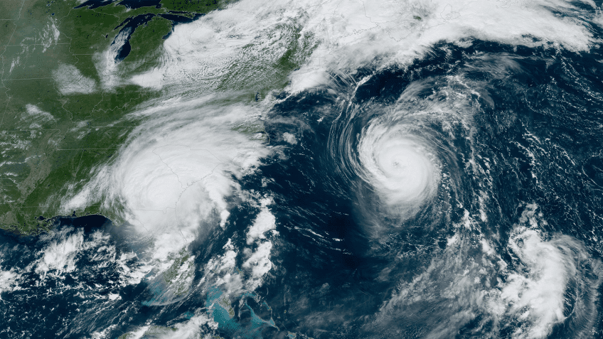
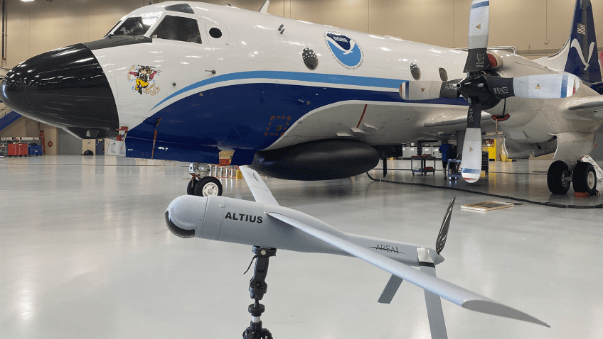
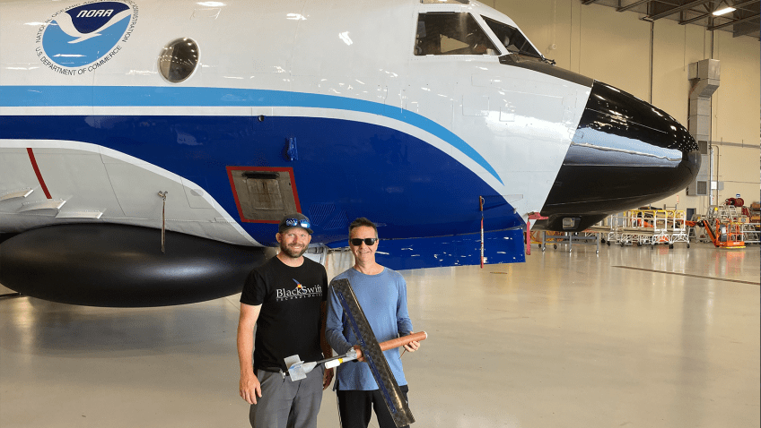
Researchers at NOAA seek new techniques to advance hurricane forecasts to better protect life and property. In preparation for the upcoming 2023 hurricane season, which begins June 1, scientists are accelerating the use of small uncrewed aircraft technologies and the collocation of observational ocean assets, among other advancements. Here are five ways that NOAA researchers are improving hurricane track and intensity forecasts:

Read Full Article

Statistical Analysis of Convective Updrafts in Tropical Cyclone Rainbands Observed by Airborne Doppler Radar

Barron, N. R., Didlake Jr, A. C., & Reasor, P. D. (2022). Statistical Analysis of Convective Updrafts in Tropical Cyclone Rainbands Observed by Airborne Doppler Radar. Journal of Geophysical Research: Atmospheres127(6), e2021JD035718.4

Abstract: Ten years of airborne Doppler radar observations are used to study convective updrafts’ kinematic and reflectivity structures in tropical cyclone (TC) rainbands. An automated algorithm is developed to identify the strongest rainband updrafts across 12 hurricane-strength TCs. The selected updrafts are then collectively analyzed by their frequency, radius, azimuthal location (relative to the 200–850 hPa environmental wind shear), structural characteristics, and secondary circulation (radial/vertical) flow pattern. Rainband updrafts become deeper and stronger with increasing radius. A wavenumber-1 asymmetry arises, showing that in the downshear (upshear) quadrants of the TC, updrafts are more (less) frequent and deeper (shallower)…

Download Full Paper

Read Full Article

2019 Atlantic Hurricane Forecasts from the Global-Nested Hurricane Analysis and Forecast System: Composite Statistics and Key Events

Hazelton, A., Zhang, Z., Liu, B., Dong, J., Alaka, G., Wang, W., … & Marks, F. (2021). 2019 Atlantic hurricane forecasts from the global-nested hurricane analysis and forecast system: Composite statistics and key events. Weather and Forecasting36(2), 519-538.

Abstract: NOAA’s Hurricane Analysis and Forecast System (HAFS) is an evolving FV3-based hurricane modeling system that is expected to replace the operational hurricane models at the National Weather Service. Supported by the Hurricane Forecast Improvement Program (HFIP), global-nested and regional versions of HAFS were run in real time in 2019 to create the first baseline for the HAFS advancement. In this study, forecasts from the global-nested configuration of HAFS (HAFS-global nest) are evaluated and compared with other operational and experimental models. The forecasts by HAFS-global nest covered the period from July through October during the 2019 hurricane season. Tropical cyclone (TC) track, intensity, and structure forecast verifications are examined…

Download Full Paper

Read Full Article

Evaluating Satellite Sounders for Monitoring the Tropical Cyclone Environment in Operational Forecasting

Esmaili, R., Barnet, C., Dunion, J., Folmer, M., & Zawislak, J. (2022). Evaluating Satellite Sounders for Monitoring the Tropical Cyclone Environment in Operational Forecasting. Remote Sensing14(13), 3189.

Abstract: Tropical cyclones can form over open ocean where in situ observations are limited, so forecasters rely on satellite observations to monitor their development and track. We explore the utility of an operational satellite sounding product for tropical forecasting by characterizing the products retrieval skill during research flights. Scientists from both the NOAA-Unique Combined Atmospheric Processing System (NUCAPS) research team and tropical cyclone communities collaborated to target relevant tropical cyclones during the campaign. This effort produced 130 dropsondes that are welltimed with satellite sounder overpasses over three different tropical cyclones and one Saharan Air Layer outbreak…

Download Full Paper

Read Full Article

Performance of an Improved TKE-Based Eddy-Diffusivity Mass-Flux (EDMF) PBL Scheme in 2021 Hurricane Forecasts from the Hurricane Analysis and Forecast System

Chen, X., Hazelton, A., Marks, F. D., Alaka Jr, G. J., & Zhang, C. (2023). Performance of an Improved TKE-Based Eddy-Diffusivity Mass-Flux (EDMF) PBL Scheme in 2021 Hurricane Forecasts from the Hurricane Analysis and Forecast System. Weather and Forecasting38(2), 321-336.

Abstract: Continuous development and evaluation of planetary boundary layer (PBL) parameterizations in hurricane conditions are crucial for improving tropical cyclone (TC) forecasts. A turbulence kinetic energy (TKE)-based eddy-diffusivity mass-flux (EDMF-TKE) PBL scheme, implemented in NOAA’s Hurricane Analysis and Forecast System (HAFS), was recently improved in hurricane conditions using large-eddy simulations. This study evaluates the performance of HAFS TC forecasts with the original (experiment HAFA) and modified EDMF-TKE (experiment HAFY) based on a large sample of cases during the 2021 North Atlantic hurricane season…

Download Full Paper

Read Full Article

An Improved One-Dimensional Bending Angle Forward Operator for the Assimilation of Radio Occultation Profiles in the Lower Troposphere

Cucurull, L., & Purser, R. J. (2023). An improved one-dimensional bending angle forward operator for the assimilation of radio occultation profiles in the lower troposphere. Monthly Weather Review151(5), 1093-1108.

Abstract: Under very large vertical gradients of atmospheric refractivity, which are typical at the height of the planetary boundary layer, the assimilation of radio occultation (RO) observations into numerical weather prediction (NWP) models presents several serious challenges. In such conditions, the assimilation of RO bending angle profiles is an ill-posed problem, the uncertainty associated with the RO observations is higher, and the one-dimensional forward operator used to assimilate these observations has several theoretical deficiencies. As a result, a larger percentage of these RO observations are rejected at the NWP centers by existing quality control procedures, potentially limiting the benefits of this data type to improve weather forecasting in the lower troposphere…

Download Full Paper

Read Full Article

Observed Relationships Between Tropical Cyclone Vortex Height, Intensity, and Intensification Rate

DesRosiers, A. J., Bell, M. M., Klotzbach, P. J., Fischer, M. S., & Reasor, P. D. (2023). Observed relationships between tropical cyclone vortex height, intensity, and intensification rate. Geophysical Research Letters, 50(8), e2022GL101877.

Abstract: As a tropical cyclone (TC) intensifies, the tangential wind field expands vertically and increases in magnitude. Observations and modeling support vortex height as an important TC structural characteristic. The Tropical Cyclone Radar Archive of Doppler Analyses with Recentering data set provides kinematic analyses for calculation of the height of the vortex (HOV) in observed storms. Analyses are azimuthally-averaged with tangential wind values taken along the radius of maximum winds. A threshold-based technique is used to determine the HOV. A fixed threshold HOV strongly correlates with current intensity. A dynamic HOV metric quantifies vertical decay of tangential wind with reduced dependency on intensity. Statistically significant differences are present between dynamic HOV values in groups of steady-state, intensifying, and rapidly-intensifying cases categorized by subsequent changes in pressure.

Download Full Paper

Read Full Article