Author: AOML Communications

AOML Begins Biscayne Bay Canal Sampling Surveys

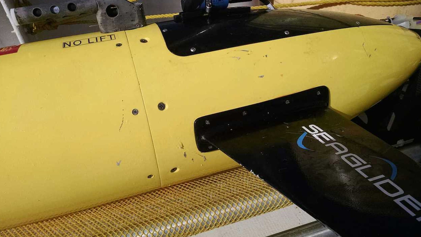
AOML’s ecosystem assessment and modeling group is collaborating with the protected species and biodiversity lab at NOAA’s SEFSC to begin a water quality monitoring survey of South Florida’s Biscayne Bay watershed. Biscayne Bay is a designated Habitat Focus Area under NOAA’s Habitat Blueprint, a program which offers opportunities for NOAA to partner with organizations to address coastal and marine habitat loss and degradation issues. Scientists will collect continuous temperature, salinity, turbidity, dissolved organic matter, and fluorescence measurements, as well as discrete samples for Chlorophyll a, nutrients, and phytoplankton. The surveys will occur quarterly and will examine the sources of potential contaminants from canals and waterways, and the subsequent effects these contaminants will have on the Bay.

Read Full Article

Video: Coral Spawning in the Florida Keys

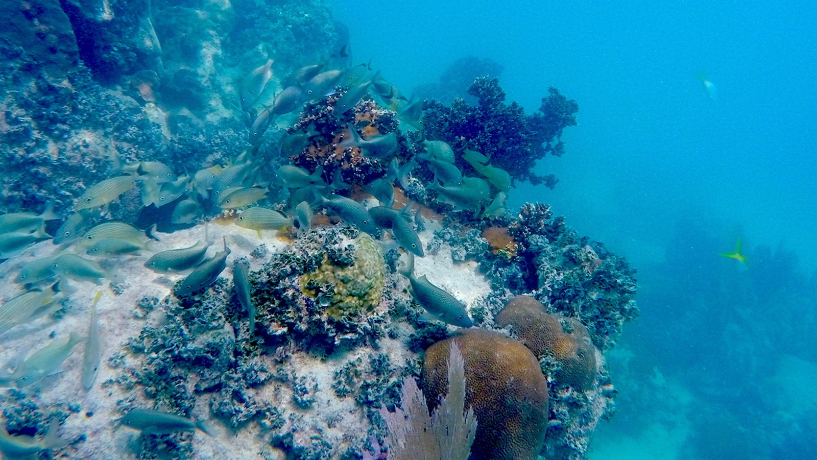
AOML coral scientists participated in a NOAA National Marine Fisheries Service-led project to document coral spawning in the Florida Keys National Marine Sanctuary during August & September 2015. The project aims to measure spawning success for two imperiled Caribbean species, elkhorn coral (Acropora palmata) and mountainous star coral (Orbicella faveolata) in the Florida Keys. The team collected gametes from both species to be used in experiments that aim to improve the understanding of factors that may enhance the likelihood of coral larvae to survive and settle on the ocean floor. Experiments will also assess impacts of current and future global environmental changes, such as ocean acidification, on these vulnerable early life stages of corals. Click on the image below to view a video of a spawning mountainous star colony.

Photo and Video credit: NOAA

Read Full Article

AOML Leads Research Efforts Across Caribbean to Improve Bleaching Predictions

For the third time in recorded history, a massive coral bleaching event is unfolding throughout the world’s oceans, stretching from the Indian Ocean to the Caribbean. Above average sea surface temperatures exacerbated by a strong El Niño could result in the planet losing up to 4,500 square miles of coral this year alone, according to NOAA. The global event is predicted to continue to impact reefs into the spring of 2016.

Read Full Article

AOML Establishes New Sites to Monitor Ocean Acidification in Gulf of America

Members of AOML’s Acidification, Climate, and Coral Reef Ecosystems Team (ACCRETE) recently traveled to two remote reef locations to expand the National Coral Reef Monitoring Program’s (NCRMP) network of sentinel climate and ocean acidification monitoring sites. The newly established sites, located in the Flower Garden Banks and the Dry Tortugas, will provide researchers with additional data and insights into the ocean’s changing chemistry and the progression of ocean acidification, as well as the ecological impacts of these variables across the Caribbean basin and the Gulf of America.

Read Full Article

Research Shows Indian Ocean Plays Key Role in Global Warming Hiatus

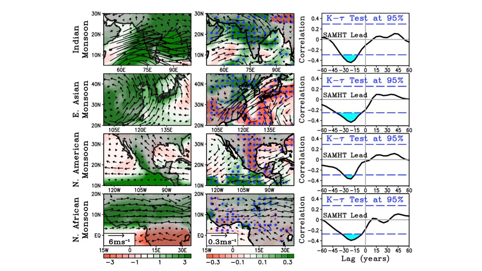
The earth is warming, but atmospheric and oceanic temperatures that rose steadily over the last half century have leveled off and slowed this past decade, causing the appearance of an imbalance in the Earth’s heat budget. Scientists looking to the deep ocean for where the additional heat energy might be stored recently traced a pathway that leads to the Indian Ocean.

Read Full Article

Tropical Storm Fred

On September 5th, NASA’s Global Hawk took off from Wallops Island, Virginia to fly a 24 hour mission over Tropical Storm Fred. The Global Hawk launched dropsondes to measure the wind structure of the storm and gathered other meteorological data such as temperature and moisture with instruments on board. The Global Hawk is part of NOAA’s Sensing Hazards with Operational Unmanned Technology (SHOUT) field campaign. 

Read Full Article

Tropical Storm Erika

AOML is partnering with Woods Hole Oceanographic Institution in their effort to deploy eight more Air-Launched Autonomous Micro Observer (ALAMO) floats in the path of Tropical Storm Erika. ALAMO profiling floats will be air-deployed through a chute in the belly of a US Air Force C-130 airplane. ALAMOs are a smaller Argo-style floats that will make 11 profile per day of the upper ocean down to 300m.  They communicate via satellite and AOML will receive and conduct data processing to upload ocean temperature data onto the Global Telecommunication System so that it can be incorporated into ocean models. The ALAMO floats are manufactured by MRV Systems.

Read Full Article

10th Anniversary of Hurricane Katrina

Early on the morning of August 29th, 2005, Hurricane Katrina made landfall on the Louisiana delta region and the Mississippi coast.  The storm surge brought enormous damage to the Gulf Coast and, when the levees around New Orleans failed, a great number of fatalities.  Coming amidst the very busy 2005 hurricane season, Katrina brought death and destruction not seen in a U.S. land-falling hurricane in decades.

Read Full Article

Hurricane Danny

Photos taken from NOAA’s P-3 aircraft during Hurricane Hunter flights conducted on Saturday, August 22nd and Sunday, August 23rd inside Hurricane Danny. Peaking at Category 3 strength on Friday, August 21, Danny had maximum sustained winds of 115 mph as it churned in the Atlantic. Danny then weakened to a tropical depression due to interaction with high levels of wind shear and a mass of dry air in the Caribbean as it moved across the Lesser Antilles. The Hurricane Hunter missions profiled Danny’s wind structure with Tail Doppler Radar, conducted various projects in support of the Hurricane Research Division’s 2015 Field Program, and surveyed the ocean ahead of the storm in order to improve forecasts.

Read Full Article