

AOML is partnering with Woods Hole Oceanographic Institution in their effort to deploy eight more Air-Launched Autonomous Micro Observer (ALAMO) floats in the path of Tropical Storm Erika. ALAMO profiling floats will be air-deployed through a chute in the belly of a US Air Force C-130 airplane. ALAMOs are a smaller Argo-style floats that will make 11 profile per day of the upper ocean down to 300m. They communicate via satellite and AOML will receive and conduct data processing to upload ocean temperature data onto the Global Telecommunication System so that it can be incorporated into ocean models. The ALAMO floats are manufactured by MRV Systems.
Photo credit: NOAA

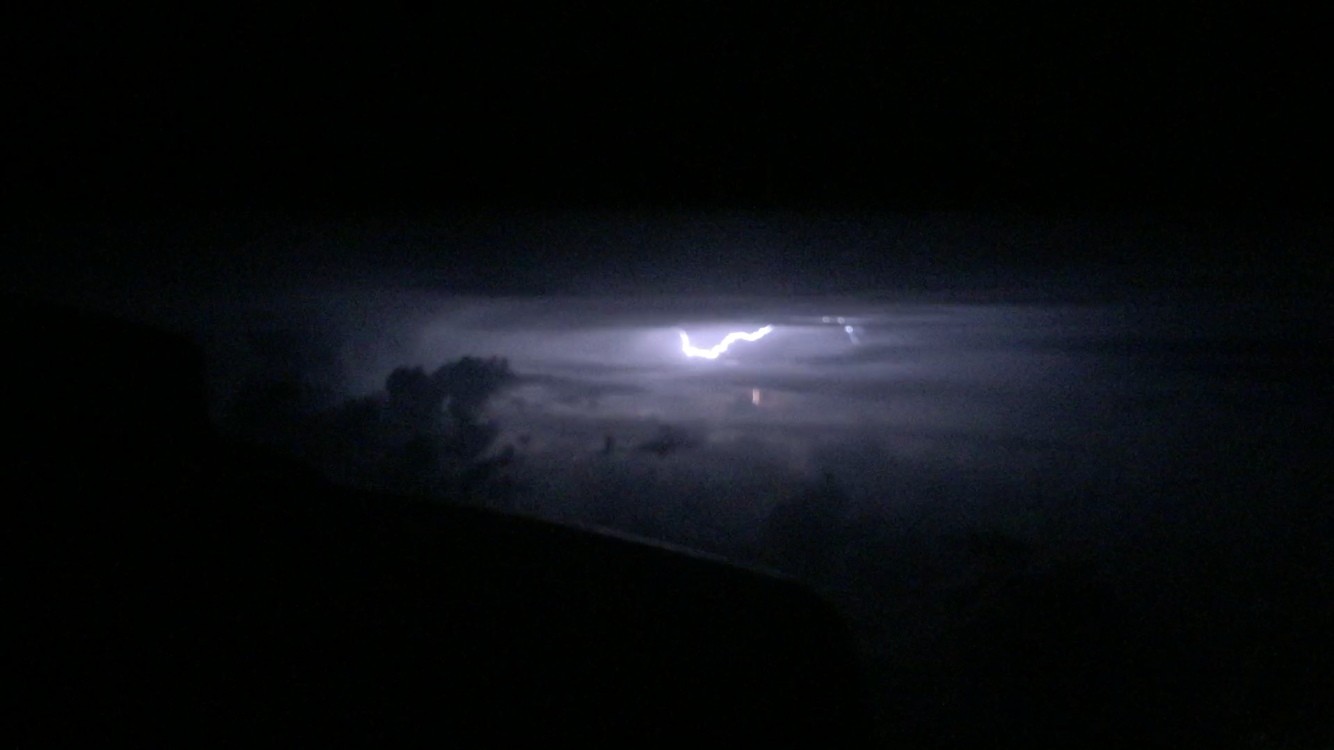
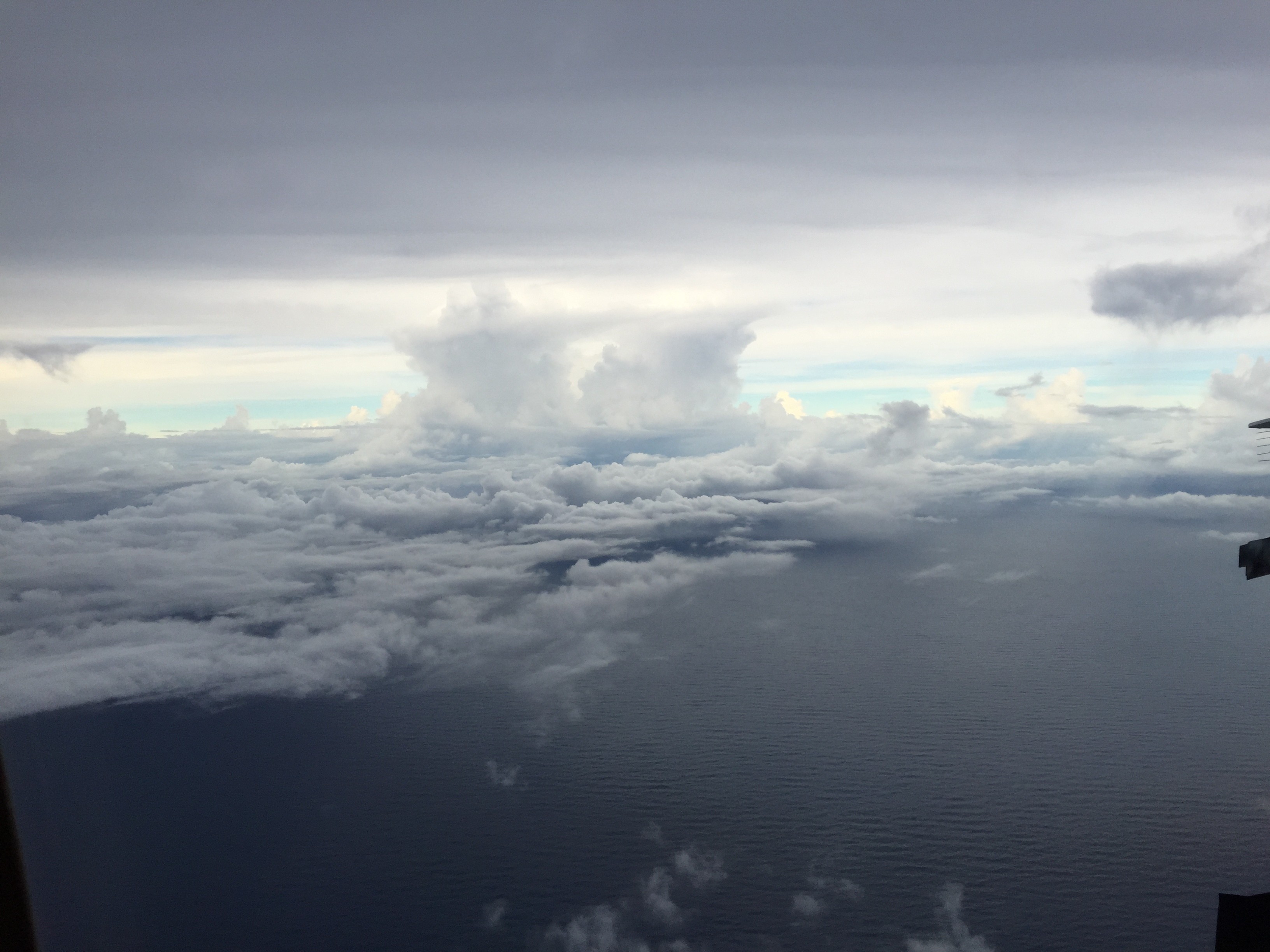
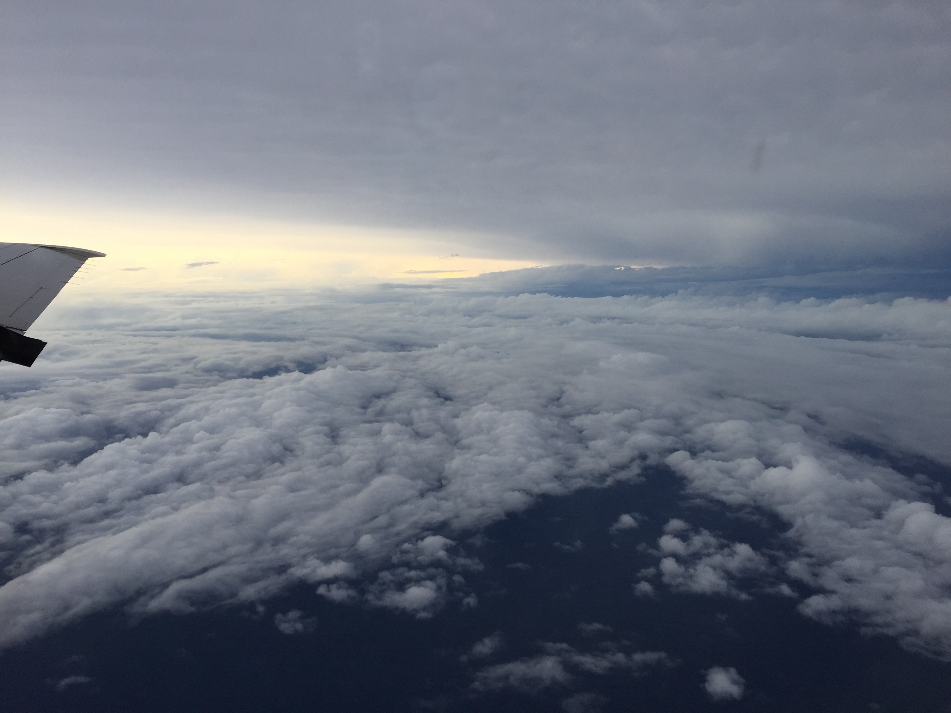
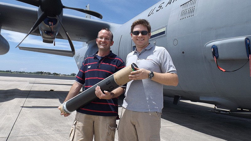

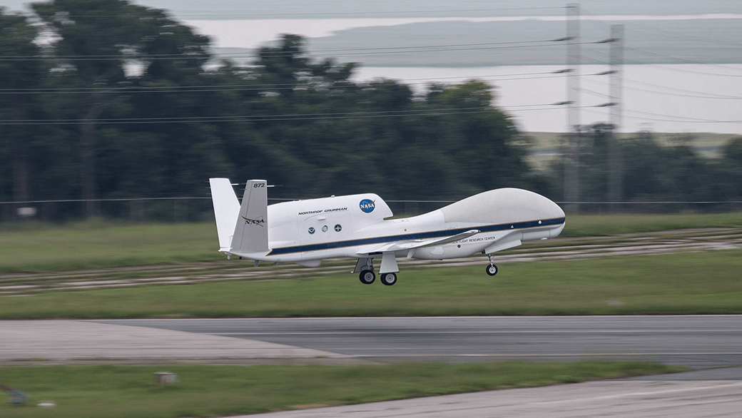
Image Captions
From Left:
- Tropical Storm Erica at Sunrise. Photo Credit: NOAA.
- Lightening in Tropical Storm Erika. Photo Credit: NOAA.
- Clouds in Tropical Storm Erika. Photo Credit: NOAA.
- Clouds in Tropical Storm Erika. Photo Credit: NOAA.
- Flying Over Tropical Storm Erika. Photo Credit: NOAA.
- AOML assists WHOI and the USAF in their deployment of ALAMO floats in front of TS Erika. Image credit: NOAA
- Above the clouds sunset from tropical storm Erika in 2015. Photo Credit, NOAA AOML.
- NASA’s Global Hawk flew two 24 hour missions into Tropical Storm Erika to collect and transmit real-time data on the storm. Image Credit: NOAA