Author: AOML Communications

Azimuthal Distribution of Deep Convection, Environmental Factors, and Tropical Cyclone Rapid Intensification: A Perspective from HWRF Ensemble Forecasts of Hurricane Edouard (2014)

Leighton, H., Gopalakrishnan, S., Zhang, J. A., Rogers, R. F., Zhang, Z., & Tallapragada, V. (2018). Azimuthal distribution of deep convection, environmental factors, and tropical cyclone rapid intensification: A perspective from HWRF ensemble forecasts of Hurricane Edouard (2014). Journal of the Atmospheric Sciences, 75(1), 275-295.

Abstract: Forecasts from the operational Hurricane Weather Research and Forecasting (HWRF)-based ensemble prediction system for Hurricane Edouard (2014) are analyzed to study the differences in both the tropical cyclone inner-core structure and large-scale environment between rapidly intensifying (RI) and non intensifying (NI) ensemble members. An analysis of the inner-core structure reveals that as deep convection wraps around from the downshear side of the storm to the upshear-left quadrant for RI members, vortex tilt and asymmetry reduce rapidly, and rapid intensification occurs…

Download Full PDF

Read Full Article

Rewriting the Climatology of the Tropical North Atlantic and Caribbean Sea Atmosphere

Dunion, J.P., 2011: Re-writing the climatology of the tropical North Atlantic and Caribbean Sea atmosphere. J. Climate, 24(3), 893-908, doi:10.1175/2010JCLI3496.1

Abstract: The Jordan mean tropical sounding has provided a benchmark reference for representing the climatology of the tropical North Atlantic and Caribbean Sea atmosphere for over 50 years. However, recent observations and studies have suggested that during the months of the North Atlantic hurricane season, this region of the world is affected by multiple air masses with very distinct thermodynamic and kinematic characteristics. This study examined ;6000 rawinsonde observations from the Caribbean Sea region taken during the core months (July–October) of the 1995–2002 hurricane seasons. It was found that single mean soundings created from this new dataset were very similar to C. L. Jordan’s 1958 sounding work. However, recently developed multispectral satellite imagery that can track low- to midlevel dry air masses indicated that the 1995–2002 hurricane season dataset (and likely Jordan’s dataset as well) was dominated by three distinct air masses: moist tropical (MT), Saharan air layer (SAL), and midlatitude dry air intrusions (MLDAIs). Findings suggest that each sounding is associated with unique thermodynamic, kinematic, stability, and mean sea level pressure…
Download PDF

Read Full Article

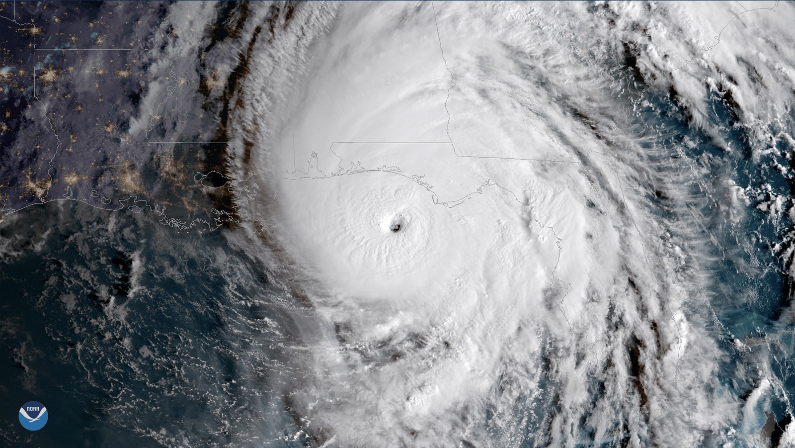
AOML Hurricane Researchers Capture Hurricane Dorian’s Eye During Rapid Intensification

NOAA researchers have been working around the clock to collect vital data during Hurricane Dorian which is being used to improve present and future forecasts to protect and save vulnerable lives and property. Using technology aboard the NOAA Hurricane Hunter P-3 aircraft, AOML hurricane researchers were able to document the rapid intensification of Dorian as it approached the Bahamas.

Read Full Article

The Impact of the Saharan Air Layer on Atlantic Tropical Cyclone Activity

Dunion, J. P., & Velden, C. S. (2004). The impact of the Saharan air layer on Atlantic tropical cyclone activity. Bulletin of the American Meteorological Society, 85(3), 353-366.

Abstract: A deep well-mixed, dry adiabatic layer forms over the Sahara Desert and Shale regions of North Africa during the late spring, summer, and early fall. As this air mass advances westward and emerges from the northwest African coast, it is undercut by cool, moist low-level air and becomes the Saharan air layer (SAL). The SAL contains very dry air and substantial mineral dust lifted from the arid desert surface over North Africa, and is often associated with a midlevel easterly jet. A temperature inversion occurs at the base of the SAL where very warm Saharan air overlies relatively cooler air above the ocean surface. Recently developed multispectral Geostationary Operational Environmental Satellite (GOES) infrared imagery detects the SAL’s entrained dust and dry air as it moves westward over the tropical Atlantic. This imagery reveals that when the SAL engulfs tropical waves, tropical disturbances, or preexisting tropical cyclones (TCs), its dry air, temperature inversion…
Download PDF

Read Full Article

Study shows nutrients entering Biscayne Bay

An analysis of 20 years of water quality data shows that Biscayne Bay, a NOAA Habitat Focus Area off southeast Florida, is degrading, as scientists have identified early warning signs that could help inform managers to prevent a regime shift of the bay’s ecosystem.In a recent study published in Estuaries and Coasts, scientists from NOAA and partner organizations detected an increasing trend in chlorophyll and nutrient levels from 48 monitoring stations throughout Biscayne Bay.

Read Full Article

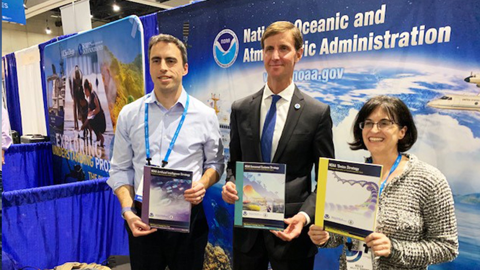
AOML Director and Researchers to be Honored at AMS Awards

AOML Director Dr. John Cortinas has been elected to become a Fellow of the American Meteorological Society. Fellows are elected for their “­outstanding contributions to the atmospheric or ­related oceanic or hydrologic sciences or their ­applications during a substantial ­period of years.” John has been member of the American Meteorological Society since 1983, supporting the organization as an associate editor for the journals Weather and Forecasting and Monthly Weather Review. Additionally, John has served as the AMS Chairperson of the Minority Scholarship Committee, a member of the Board on Women and Minorities, and as a member of the Weather Analysis and Forecasting Committee. 

Read Full Article

Impact of Assimilating Underwater Glider Data on Hurricane Gonzalo (2014) Forecast

Dong, J.,R. Domingues, G. Goni, G. Halliwell, H.-S. Kim, S.-K. Lee, M. Mehari, F. Bringas, J. Morell, and L. Pomales, 2017: Impact of assimilating underwater glider data on Hurricane Gonzalo (2014) forecast. /Weather and Forecasting/, 32(3):1143-1159*, *(doi:10.1175/WAF-D-16-0182.1).

Abstract: The initialization of ocean conditions is essential to coupled tropical cyclone (TC) forecasts. This study investigates the impact of ocean observations assimilation, particularly underwater glider data, on high-resolution coupled TC forecasts. Using the coupled Hurricane Weather Research and Forecasting (HWRF) – Hybrid Coordinate Ocean Model (HYCOM) system, numerical experiments are performed by assimilating underwater glider observations alone and with other standard ocean observations for the forecast of Hurricane Gonzalo (2014). The glider observations are able to provide valuable information on sub-surface ocean thermal and saline structure, even with their limited spatial coverage along the storm track and relatively small amount of data assimilated…

Download PDF

Read Full Article

PIRATA: A Sustained Observing System for Tropical Atlantic Climate Research and Forecasting

Bourlès, B., Araujo, M.,McPhaden, M. J., Brandt, P., Foltz, G. R., Lumpkin, R., et al. (2019). PIRATA: A sustained observing system for tropical Atlantic climate research and forecasting. Earth and Space Science, 6, 577–616. https:// doi.org/10.1029/2018EA000428

Abstract: Prediction and Research Moored Array in the Tropical Atlantic (PIRATA) is a multinational program initiated in 1997 in the tropical Atlantic to improve our understanding and ability to predict ocean‐atmosphere variability. PIRATA consists of a network of moored buoys providing meteorological and oceanographic data transmitted in real time to address fundamental scientific questions as well as societal needs. The network is maintained through dedicated yearly cruises, which allow for extensive complementary shipboard measurements and provide platforms for deployment of other components of the Tropical Atlantic Observing System. This paper describes network enhancements, scientific accomplishments and successes obtained from the last 10 years…

Download the Full PDF.

Read Full Article

Robots Probe Ocean Depths in Mission to Fine-Tune Hurricane Forecasts

Four ocean gliders set off to sea this week to bring back data that scientists hope will improve the accuracy of hurricane forecast models.The robotic, unmanned gliders are equipped with sensors to measure the salt content (salinity) and temperature as they move through the ocean at different depths.  The gliders, which can operate in hurricane conditions, collect data during dives down to a half mile below the sea surface, and transmit the data to satellites when they surface.  

Read Full Article