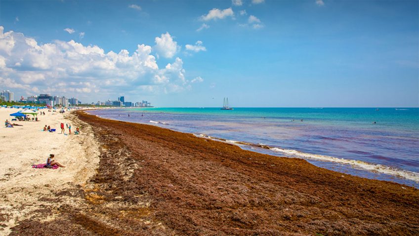
In a new study, scientists from NOAA, University of South Florida, Florida International University, University of Miami, and LGL Ecological Associates, compared wind information alongside Sargassum Inundation Risk (SIR) maps against citizen science reports of inundation in the coasts of Florida, Gulf of America, Bahamas, and Caribbean regions. With present SIR maps, inundation is considered as more likely if large densities of satellite-detected Sargassum are near a coast. The scientists in the study found that shoreward wind velocity used in conjunction with SIR indicators greatly improves the agreement with coastal observations of Sargassum beaching compared to SIR indicators alone. Including wind metrics in SIR maps will allow for improved understanding of Sargassum trajectories in coastal areas for forecast purposes.
