Tag: hurricane intensity forecasts

Thirty years of progress in hurricane forecasting since Hurricane Andrew

Hurricane Andrew made landfall on August 24, 1992, near Homestead, Florida, becoming one of the most catastrophic hurricanes in U.S. history. It had an extremely low central pressure of 922 millibars and maximum sustained wind speeds estimated at 165 miles per hour. The storm rapidly intensified less than 36 hours before landfall, leaving most residents less than a day to secure their homes and heed evacuation orders.

Read Full Article

Research Explores Impact of Wind Shear Direction on Tropical Cyclone Intensity

The amount of wind shear, i.e., the change of the wind with height, is one of the most commonly used predictors of tropical cyclone intensity change, with large amounts of wind shear generally being unfavorable for intensification. Regardless of the direction of the wind shear, tropical cyclones in the North Atlantic basin usually have warm, moist air from the environment near the sea surface on their east side (solid red arrows in the images) and cool, dry air from the environment on their west side (solid blue arrows in images).

Read Full Article

AOML Scientists Play Critical Role in Success of NOAA’s Hurricane Field Program

The active 2021 Atlantic hurricane season ended on November 30, producing 21 named tropical storms (39‑73 mph winds), seven hurricanes (74 mph winds and above), and four major hurricanes (111 mph winds and above). The year will be remembered as the third-most active on record, as well as the third costliest, causing more than $80 billion in damage.

Read Full Article

NOAA Tests New Lidar Technology to Improve Data on Hurricane Track and Intensity

Scientists from NOAA’s Atlantic Oceanographic Meteorological Laboratory are collaborating with NOAA Chemical Sciences Laboratory to test the Micro-pulse Doppler lidar (Microdop), a small light instrument to measure storm winds from NOAA’s Hurricane Hunter P-3 aircraft to learn if this data can improve hurricane forecasts.

Read Full Article

Unlocking the ocean’s role driving hurricanes

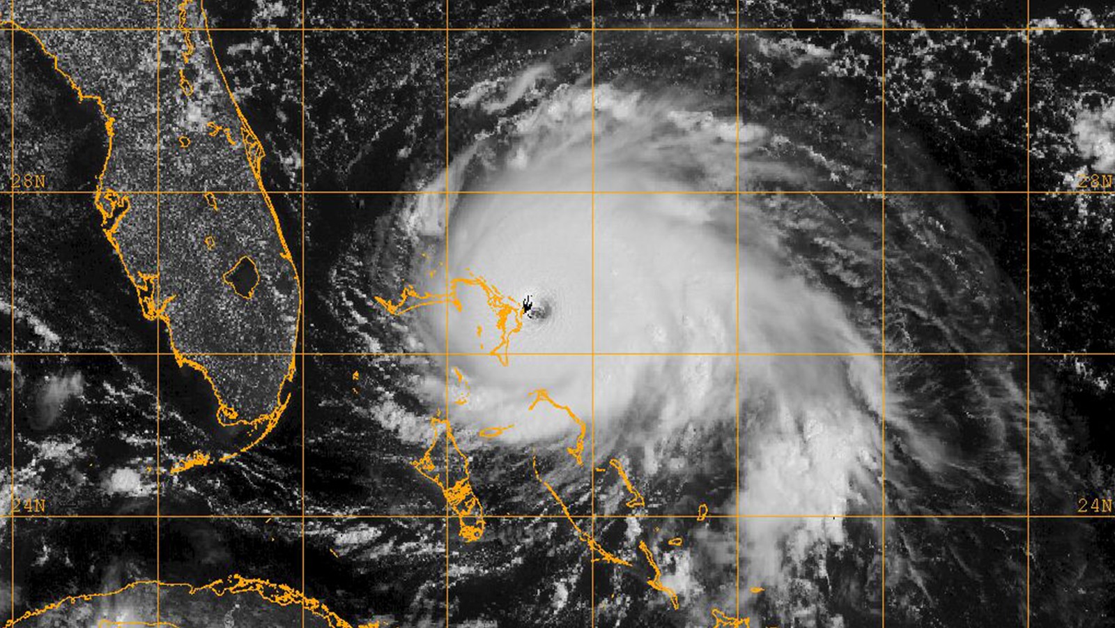
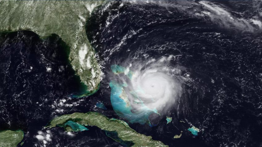
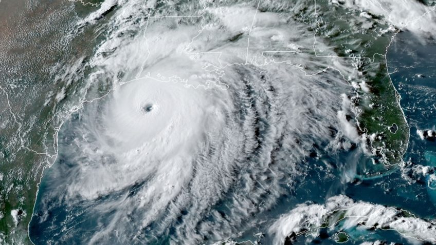
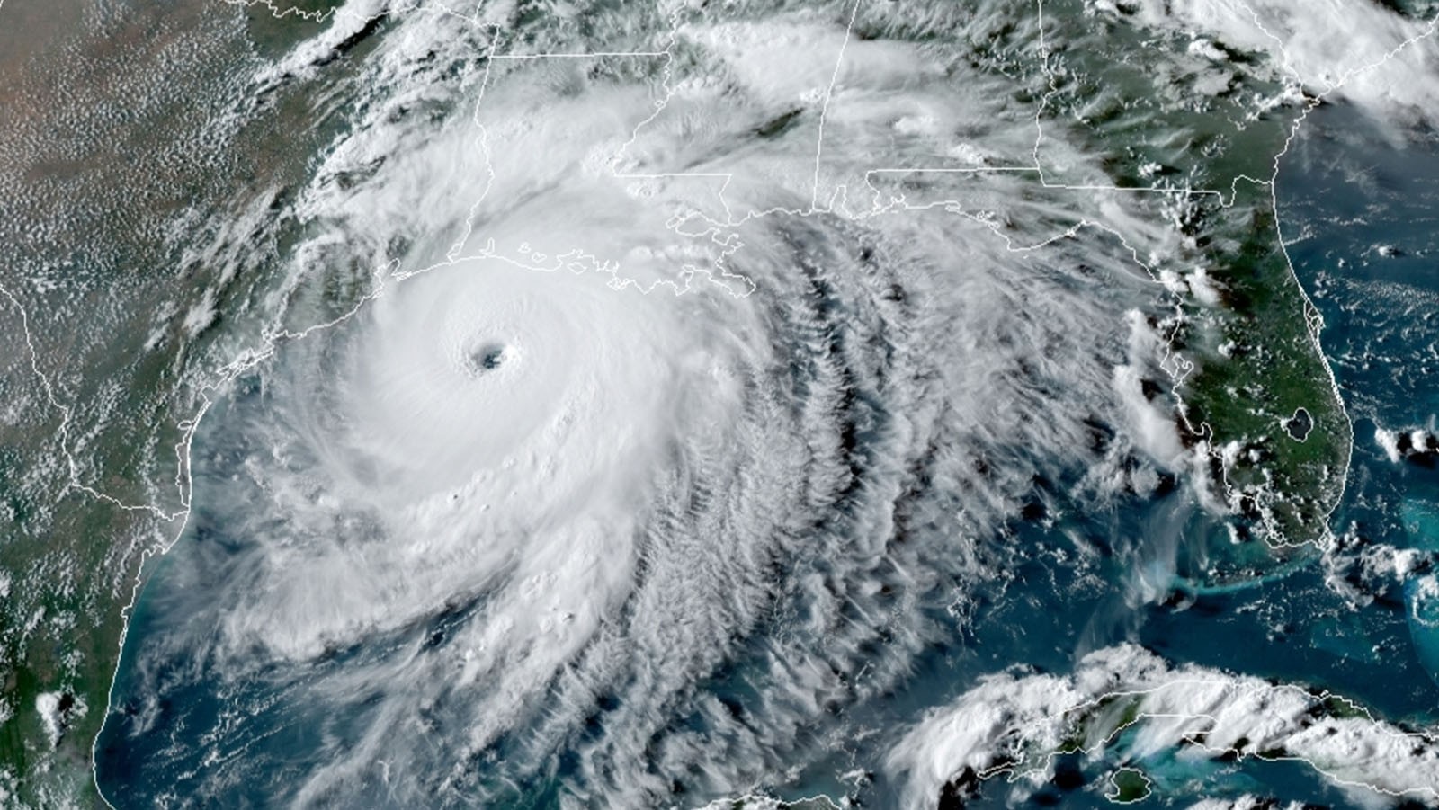
Scientists at NOAA’s Atlantic Oceanographic and Meteorological Laboratory are now focusing on what happens where the sea meets the atmosphere to help solve the hurricane intensity problem. The place right above where the air meets the sea is called the planetary boundary layer. The ocean drives global weather. By building on past research, scientists have determined that factors in the boundary layer and underlying ocean such as salinity, temperature, currents, wave and wind patterns, precipitation, are crucial to understanding the energy that fuels a hurricane.

Read Full Article

AOML Tests New Hurricane Ocean Profilers for Deployment in 2021 Hurricane Season

In January 2021, AOML in partnership with NOAA’s Aircraft Operations Center (AOC) completed the air launch testing of the Air-Launched Autonomous Micro-Observer (ALAMO) profiling float. This testing cleared the ALAMO floats for flight and deployed from the NOAA P3 Hurricane Hunter aircraft during their hurricane reconnaissance missions. The data collected and transmitted by the ALAMO floats will be used to understand the ocean’s interaction with tropical cyclones and improve coupled hurricane forecasting models.

Read Full Article