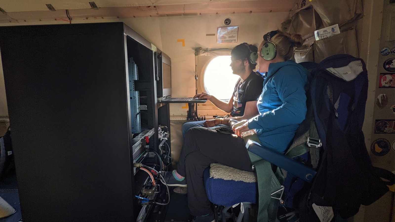

Scientists from NOAA’s Atlantic Oceanographic Meteorological Laboratory are collaborating with NOAA Chemical Sciences Laboratory to test the Micro-pulse Doppler lidar (Microdop), a small light instrument to measure storm winds from NOAA’s Hurricane Hunter P-3 aircraft to learn if this data can improve hurricane forecasts.
Hurricane Hunters equipped with the new lidar flew over the Florida peninsula, the southeast U.S. coast during Tropical Storm Elsa and the western Gulf of America. Scientists are interested in including Microdop as part of future P-3 hurricane season instrument packages to measure different regions of hurricanes, such as relatively rain-free zones outside a storm’s inner core and the very lowest parts of the atmosphere near the ocean surface called the hurricane boundary layer, where other instruments do not routinely gather wind data.
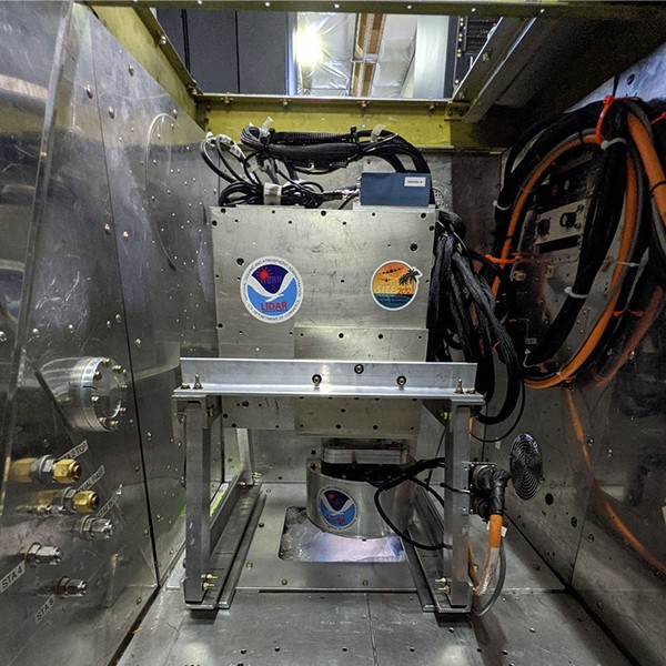
Microdop consists of a 2-micron laser that remotely senses wind velocity and other air measurements above the ocean and over land. This system is also smaller than other commonly used Doppler lidar systems which allows it to be easily added to aircraft payloads. Microdop has the potential to improve sampling of winds inside the storm and to provide valuable data that could be assimilated into forecast models.