As Hurricane Rafael developed in the Caribbean, AOML researchers were inside the storm testing the newest experimental hurricane observation instrument: the Skyfora StreamSonde. The 2024 hurricane season marks the first year that Skyfora’s StreamSondes were released in high volumes by NOAA’s Hurricane Hunters for research and testing with a total of 91 sondes released. These […]
Read Full Article
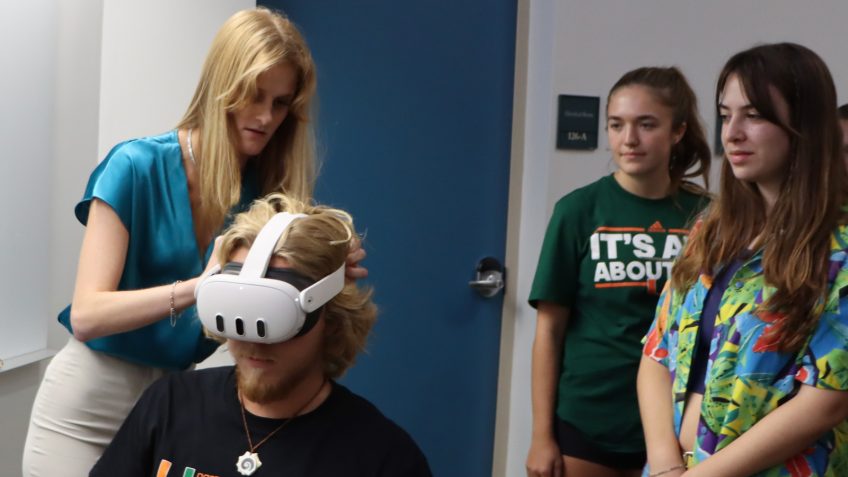
VR technology represents a new frontier in science communication, and NOAA’s Atlantic Oceanographic and Meteorological Laboratory (AOML) is using it to invite everyone on a research mission alongside their scientists. This virtual reality research experience is a project for Masters student Devon Ledbetter, who works as a science communication intern at AOML. Devon’s project aims […]
Read Full Article
In recent years, meteorologists have made strides in predicting the trajectory of tropical cyclones as models and forecasts have become more accurate. However, forecasting intensity remains a much larger challenge; small changes in atmospheric conditions can have a large impact on forecasts. To better understand why some forecasts are more accurate, scientists at NOAA’s Atlantic […]
Read Full Article
After more than 40 years of federal service, NOAA’s Atlantic Oceanographic and Meteorological Laboratory (AOML) celebrates the career of Frank Marks, PhD. Marks’ contributions to meteorology and hurricane research have left an indelible impact on the field, making him a true NOAA legend. Marks began his career at AOML in July 1980 as a Research […]
Read Full Article
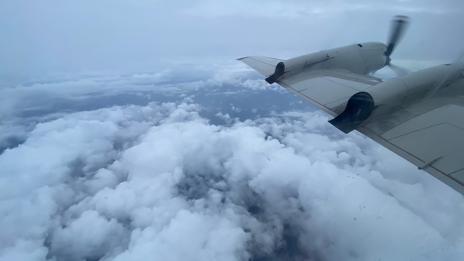
As Hurricane Helene developed in the Gulf of America, NOAA researchers gathered critical data from the sea and sky to better understand tropical cyclones and support the National Hurricane Center forecasters. This real time data gives meteorologists a clearer picture of the storm environment and structure, reducing forecast uncertainty. Researchers from NOAA’s Atlantic Oceanographic & […]
Read Full Article
NOAA’s Atlantic Oceanographic and Meteorological Laboratory (AOML) is excited to announce the selection of Dr. Ghassan “Gus” Alaka as the new Director of the Hurricane Research Division (HRD). As a vital member of the AOML team since 2014, Alaka brings a wealth of experience and expertise to the role. Alaka’s journey with AOML began when […]
Read Full Article
One of the largest challenges in hurricane research is studying the inner dynamics of a storm. The regions within the hurricane that provide the most valuable data are often the most inaccessible and dangerous to reach, creating an opportunity for researchers to utilize emerging technology to enter the storm. Small uncrewed aircraft systems (sUAS), commonly […]
Read Full Article
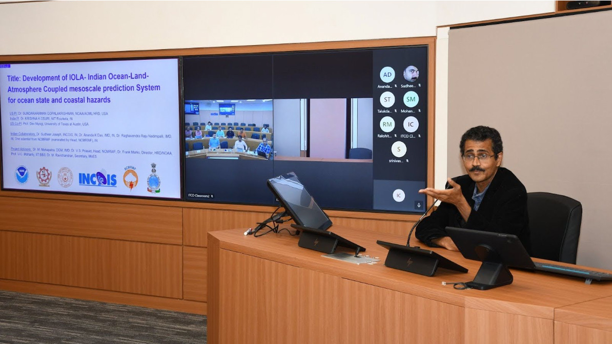
A 12-year collaboration between NOAA’s Atlantic Oceanographic and Meteorological Laboratory (AOML) and the Indian Ministry of Earth Sciences (MoES) has culminated in a renewal of an Implementing Arrangement (IA) on Technical Cooperation in Development of Tropical Cyclone Numerical Weather Prediction System for the Indian Seas, which paves the way for advances in severe weather modeling. […]
Read Full Article
In early July, the Caribbean experienced 165 mph winds as Category 5 Hurricane Beryl swept through the region. Beryl was unprecedented, becoming the Atlantic’s earliest forming Category 5 tropical cyclone on record. The storm developed and rapidly intensified to maximum wind speed in less than four days – a behavior uncommon this early in the season. Despite the unprecedented intensification, hurricane scientists with NOAA’s Atlantic Oceanographic and Meteorological Laboratory were prepared.
Read Full Article
Observational Instruments Hurricane observational instruments allow scientists to collect real-time data that improves the accuracy of hurricane forecasts and provides critical information for weather prediction models. SCROLL TO LEARN MORE Researchers at the Atlantic Oceanographic and Meteorological Laboratory (AOML) employ an array of instruments to gather data from inside hurricanes. These instruments range [...]
Read Full Article