Argo, the ‘crown jewel’ of ocean observing systems, turns 25
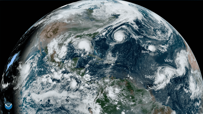
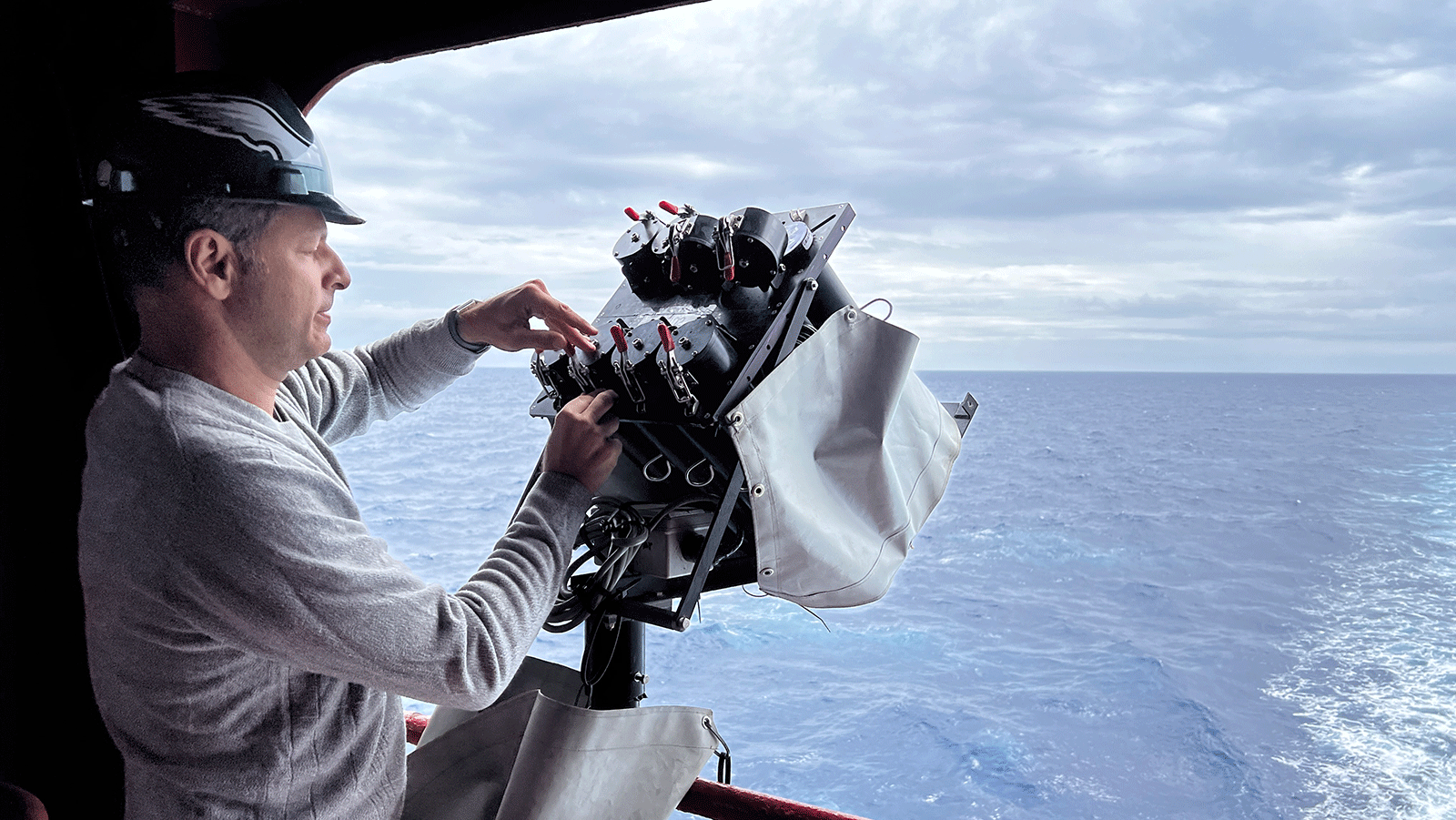
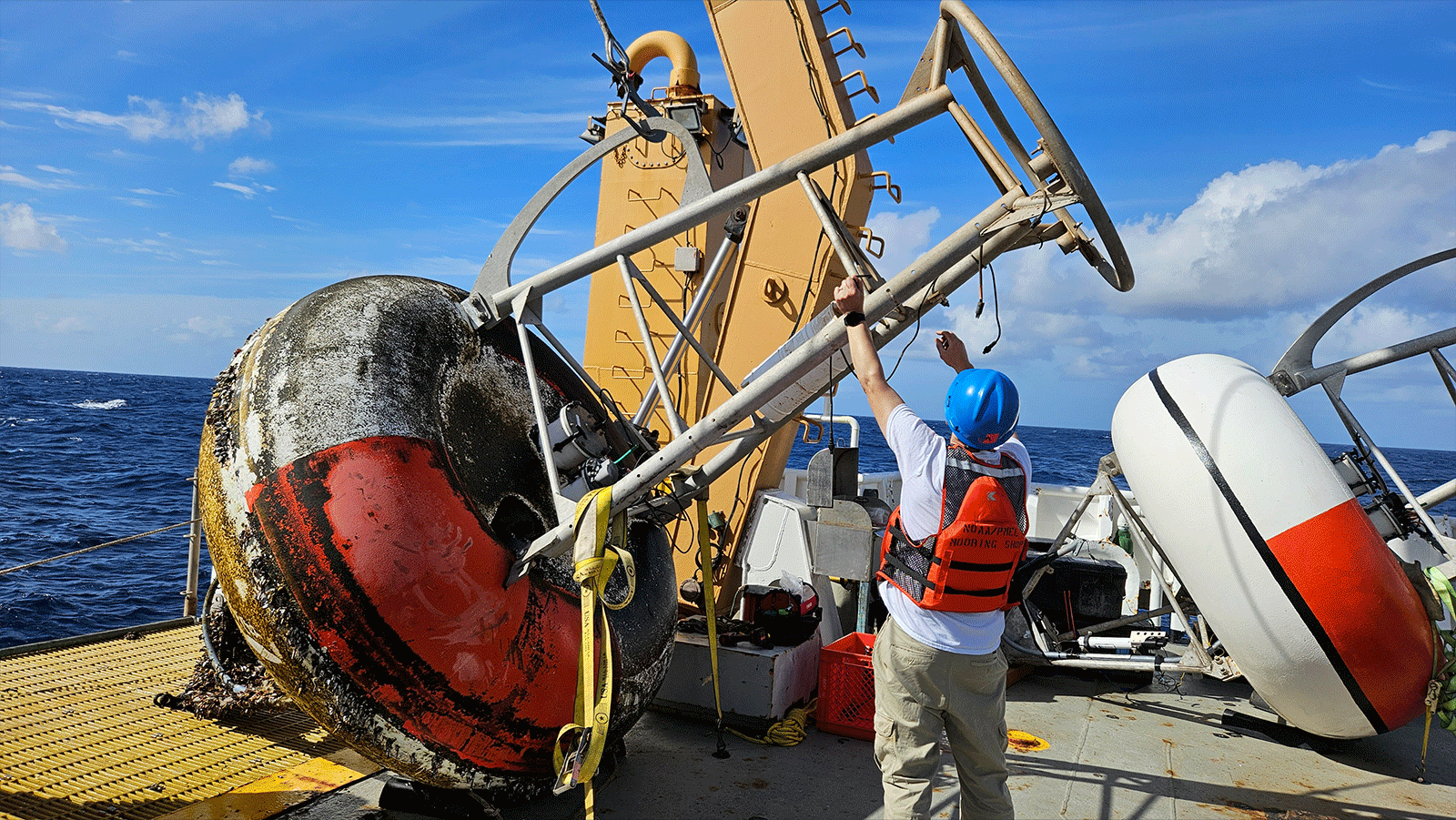
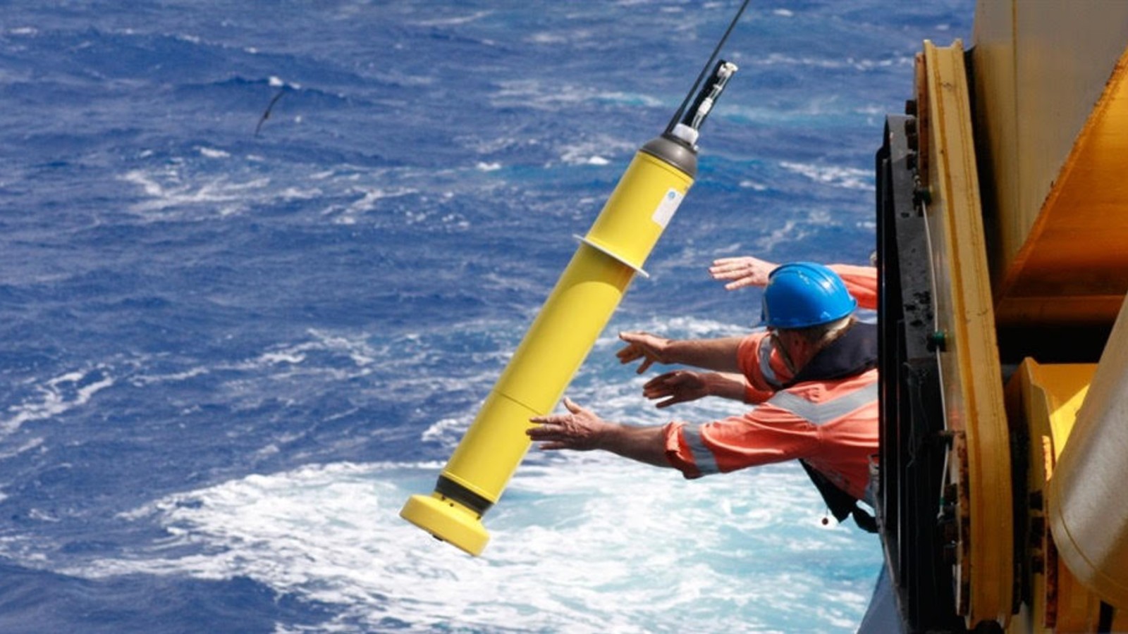
Originally published on noaa.gov on December 11, 2024. Somewhere in the middle of the ocean, a merchant mariner lowers a cylindrical robotic ocean observing instrument from a ship into the sea to record ocean temperature and salinity. Another instrument is deployed from a plane into the eye of a hurricane to take the pulse of […]