Category: Hurricane Research

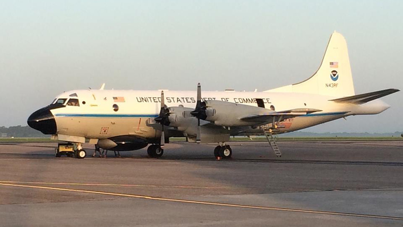
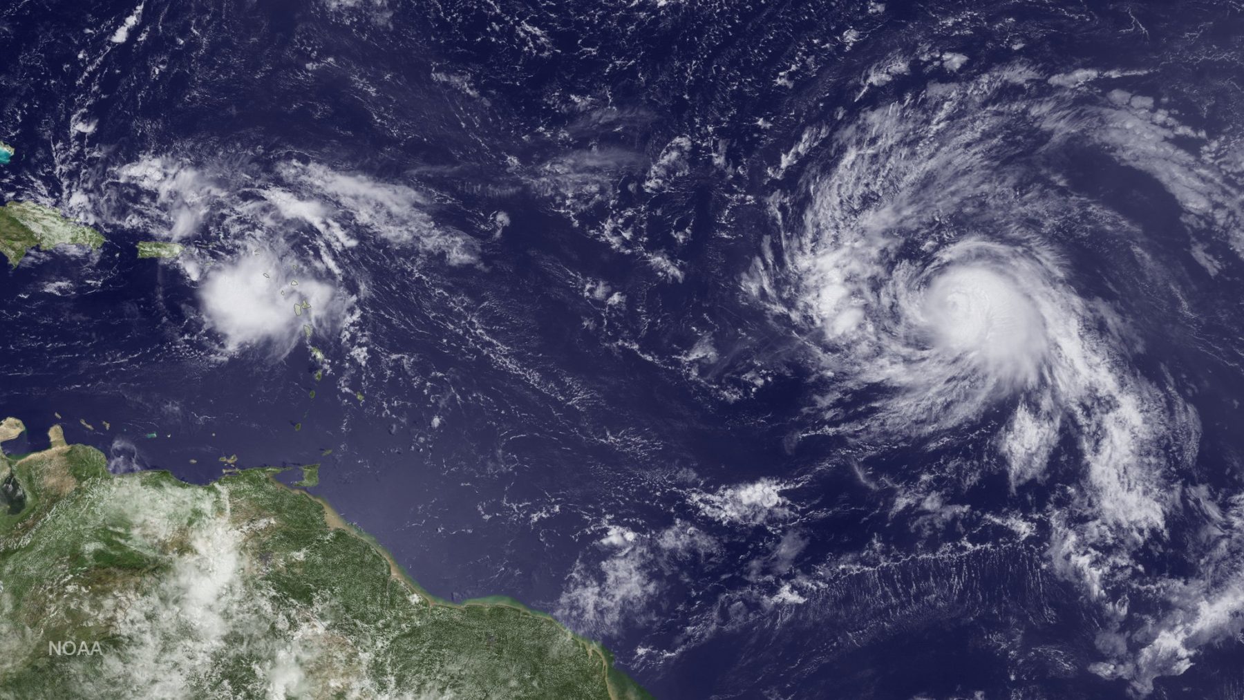
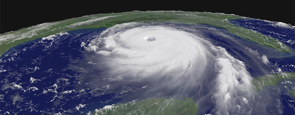
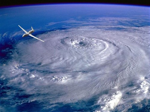
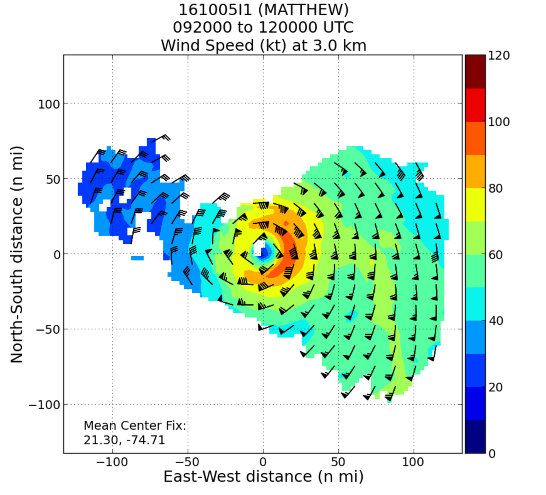
NOAA Hurricane Hunter Radar Paints Picture of Hurricane Winds

NOAA’s hurricane hunter aircraft carry a unique radar that measures wind in hurricanes where there is rain. Located in the tail of the aircraft and known as the Tail Doppler Radar, this instrument produces images that can provide detailed pictures scientists use to study storm structure and changes. Scientists can also piece together wind speed information gathered over the course of a flight to paint a complete picture of the wind speed in the regions of the storm where the aircraft flies.

Read Full Article

Through the Eyewall – My Experience with the NOAA Hurricane Hunters

There aren’t many people who can say they have flown directly into a hurricane, but on October 5, 2016, I had a very unique opportunity to fly into Hurricane Matthew with NOAA’s Hurricane Hunters. Matthew was quickly moving across the Atlantic Ocean, and each new forecast moved it closer to the East Coast of Florida. With the high potential for hurricane watches and warnings, NOAA started preparations for routine flight operations.

Read Full Article

September 22: Reddit Science AMA with NOAA’s Hurricane Hunters

With hurricane season in full swing, NOAA will host a Reddit Ask Me Anything (AMA) about the Science of Hurricane Hunting to Improve Forecasts on September 22, 2016 at 1:00 p.m. Hurricane scientist Frank Marks, Sc.D., Director of the Hurricane Research Division at AOML, and P-3 hurricane hunter pilot Commander Justin Kibbey of the NOAA Corps will answer questions. The first half of hurricane season has produced a significant number of storms in the Atlantic and Gulf of Mexico. This AMA is a great opportunity to answer questions about how and why we study these storms.

Read Full Article

Capturing the Genesis of a Hurricane

NOAA Hurricane Hunters are flying back-to-back missions to study the newly developed Tropical Storm Hermine in the Gulf of Mexico, capturing its evolution from a cluster of thunderstorms into a tropical storm. Getting data during such transitions can help improve hurricane models which currently don’t predict transitions well. Our understanding of the physical processes of early storm development remains limited, largely because there are few observations. 

Read Full Article

Technology and Modeling Innovations Usher in the 2016 Hurricane Season

Scientists at NOAA’s Atlantic Oceanographic and Meteorological Laboratory (AOML) are at the vanguard of hurricane research. Each hurricane season we fly into storms, pore over observations and models, and consider new technological developments to enhance NOAA’s observing capacity and improve track and intensity forecasts. The 2016 hurricane season will provide an opportunity for our scientists to test some of the most advanced and innovative technologies and refined forecasting tools to help better predict a storm’s future activity.

Read Full Article

From the Eye of the Hurricane to High-Resolution Models – How NOAA Improves Hurricane Forecasts

As a hurricane approaches landfall, citizens are hoping that they are adequately prepared for the potential damage from strong winds and rising oceans. NOAA’s job is to forecast the storm location and strength, or intensity, to help communities make the best informed decisions. For many scientists, predicting intensity is a challenge at the forefront of hurricane research, and in recent years advancements in observations and modeling have improved NOAA’s forecasts of intensity by 20%. We are now at the point where scientists can observe and predict with very fine detail what is happening in the inner core of the storm.

Read Full Article

NOAA Advances Hurricane Research Technology with Improved Unmanned Aerial Vehicles

A team from NOAA and Raytheon successfully demonstrated recent advancements of the Coyote Unmanned Aircraft System (UAS) while completing a mid-flight launch from the NOAA P-3 Hurricane Hunter aircraft on January 7th. The successful flight verified new technology designed to improve Coyote’s ability to collect vital weather data to improve hurricane forecasts.

Read Full Article