NOAA’s Hurricane Hunters regularly fly into developing systems that may threaten landfall or to study important features to improve forecasts. Photos below highlight flights into Tropical Storm Hermine that moved from the Atlantic over to the Gulf of Mexico in late August and early September 2016. What began as an experiment to study the genesis of a storm, Tropical Storm Hermine eventually moved into the Gulf of Mexico with landfall expected in North Florida.
Posted: August 31, 2016
Updated: September 1, 2016
Photo credit: NOAA
Image Captions
From Left:
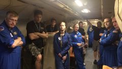
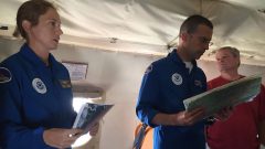
- Briefing before tropical storm Hermine. Photo Credit: NOAA AOML.
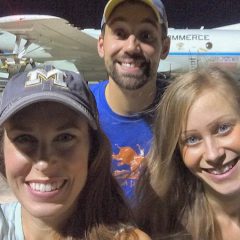
- Scientists prepare to fly through tropical storm Hermine to conduct scientific studies. Photo Credit: NOAA.
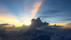
- Sunrise from the flying lab, tropical storm Hermine. Photo Credit: NOAA AOML.
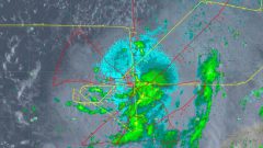
- Flightpath and radar from tropical storm Hermine. Photo Credit: NOAA.
- Cockpit of the flying lab during sunrise, tropical storm Hermine. Photo Credit NOAA AOML.
- Scientists giving briefing during tropical storm Herminie. Photo Credit: NOAA AOML.
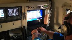
- Scientist at the dropsonde station of the flying lab during tropical storm Hermine. Photo Credit: NOAA AOML.
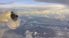
- Sunset view from the window, tropical storm Hermine. Photo Credit: NOAA AOML.
- View from the window, tropical storm Hermine. Photo Credit: NOAA AOML.

