Webb, A.E., Enochs, I.C., van Hooidonk, R. et al. Restoration and coral adaptation delay, but do not prevent, climate-driven reef framework erosion of an inshore site in the Florida Keys. Sci Rep 13, 258 (2023).
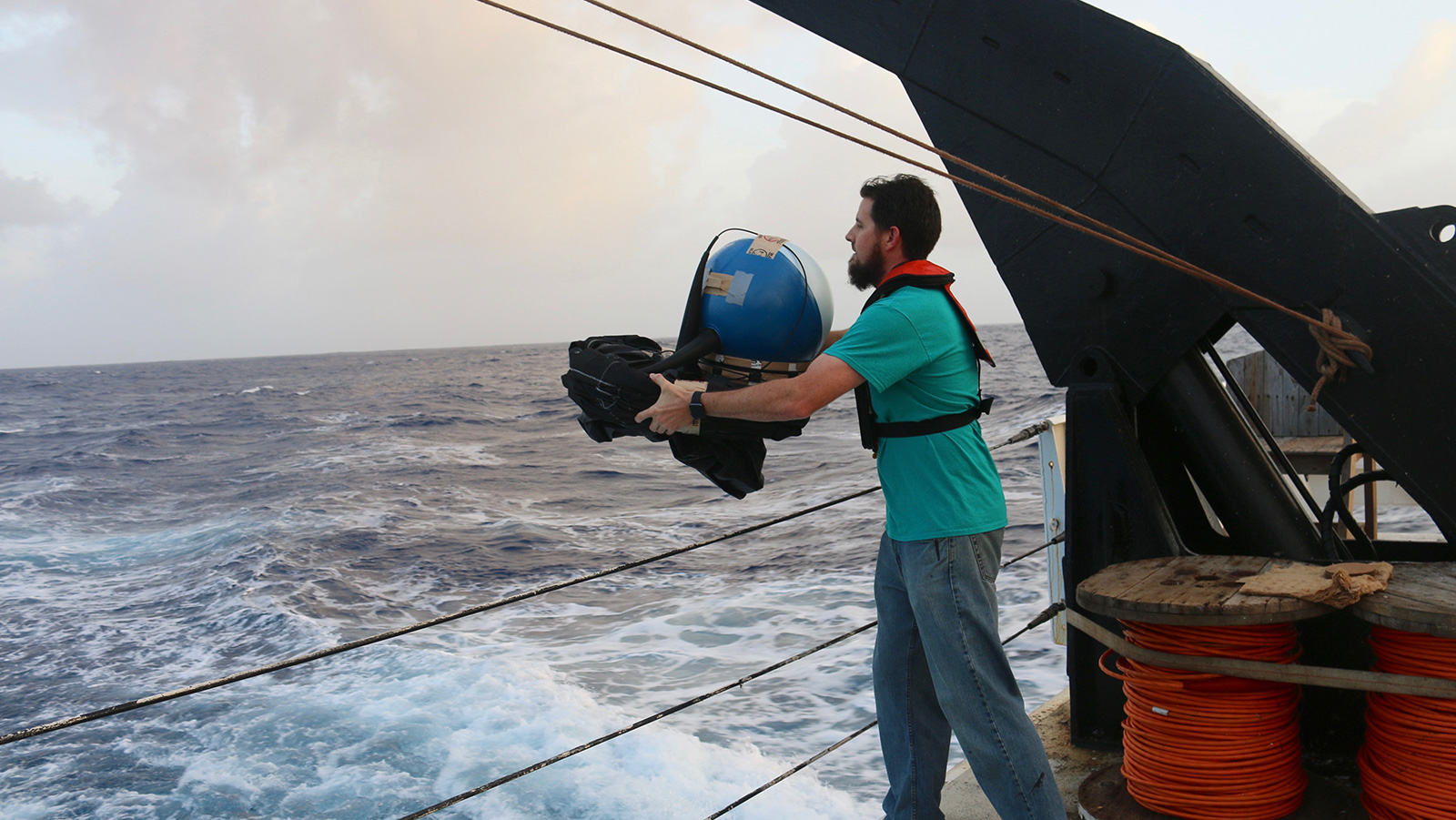
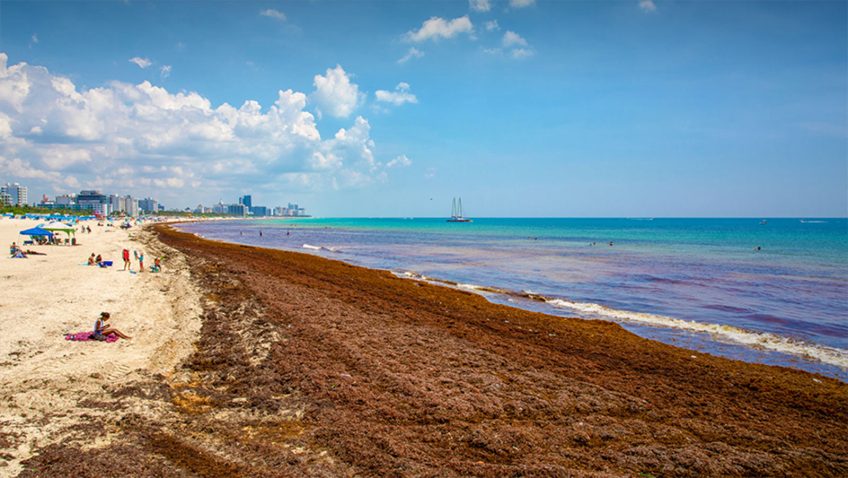
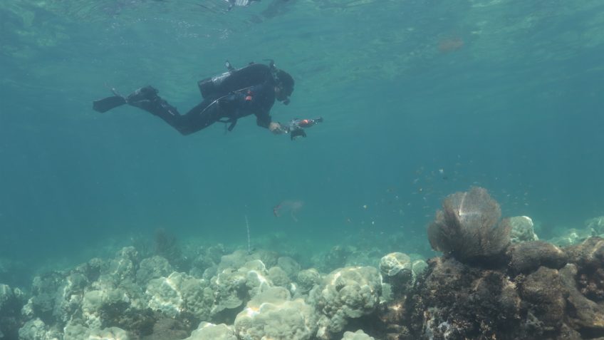
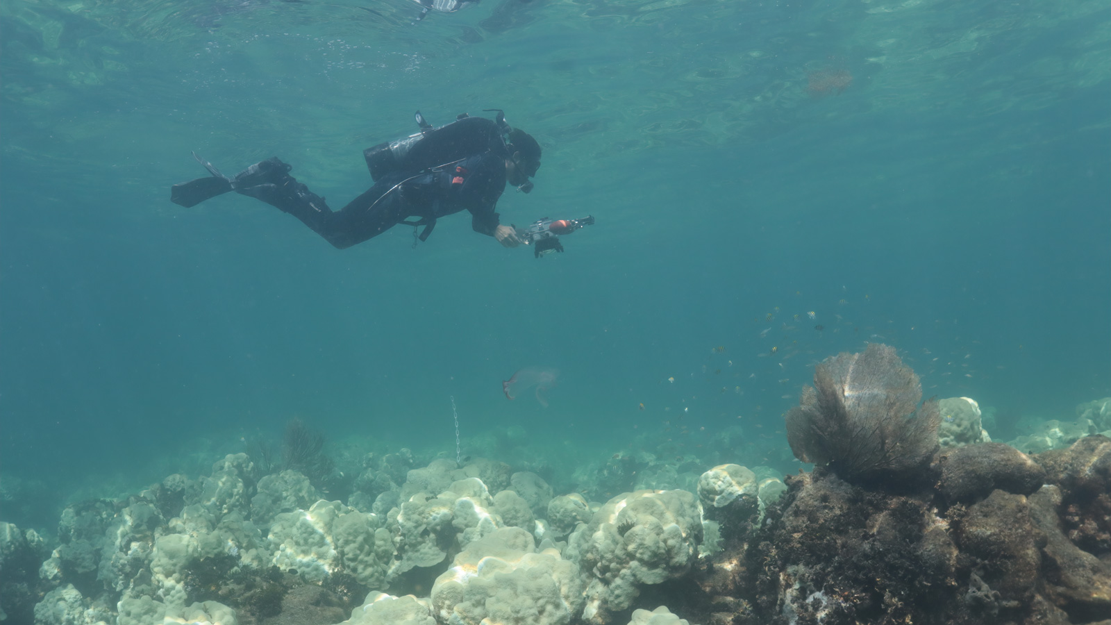
For reef framework to persist, calcium carbonate production by corals and other calcifiers needs to outpace loss due to physical, chemical, and biological erosion. This balance is both delicate and dynamic and is currently threatened by the effects of ocean warming and acidification. Although the protection and recovery of ecosystem functions are at the center of most restoration and conservation programs, decision makers are limited by the lack of predictive tools to forecast habitat persistence under different emission scenarios. To address this, we developed a modelling approach, based on carbonate budgets, that ties species-specific responses to site-specific global change using the latest generation of climate models projections (CMIP6). We applied this model to Cheeca Rocks…
Download Full Paper.