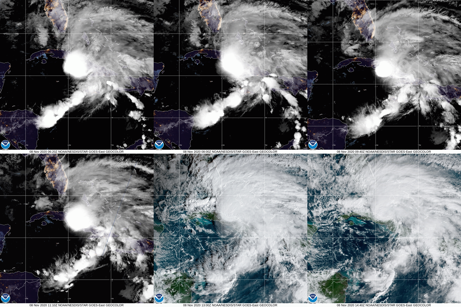
Tasked by the Environmental Modeling Center (EMC) and the National Hurricane Center (NHC), NOAA’s P-3 and G-IV aircraft have conducted reconnaissance for Tropical Storm Eta. Missions are scheduled to proceed through the weekend.
Scientists at AOML remotely supporting NOAA’s G-IV flights continue to provide high quality data to operational weather models. NHC credits the shift in track guidance to the incorporation of these measurements into their forecast.
While Tropical Storm Eta’s track forecast has become clearer, its predicted intensity remains uncertain. NOAA’s P-3 aircraft is scheduled to complete multiple passes through Eta’s circulation center during each mission through Sunday to optimize the performance of NOAA’s Hurricane Research and Forecast (HWRF) modeling system, a tropical cyclone specific model operated by EMC.
Tail Doppler Radar onboard the P-3 collects high-density wind observations and has consistently shown to improve the intensity forecast produced by numerical simulations. The combination of Tail Doppler Radar and other instrumentation provides models with the most recent information about the atmospheric conditions affecting Tropical Storm Eta. These data will be vital for Eta’s forecast as it moves northward over Cuba.

For the latest information about tropical cyclones and other weather systems, visit the NOAA National Weather Service National Hurricane Center.
For information on numerical prediction of tropical cyclones, visit the NOAA National Centers for Environmental Prediction Environmental Modeling Center.
