Tag: HWRF_Publication

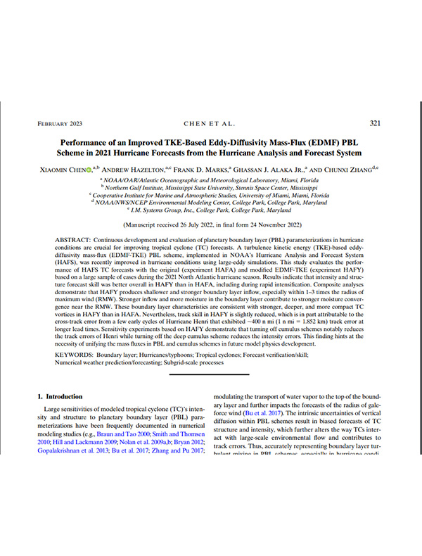
Performance of an Improved TKE-Based Eddy-Diffusivity Mass-Flux (EDMF) PBL Scheme in 2021 Hurricane Forecasts from the Hurricane Analysis and Forecast System

Chen, X., Hazelton, A., Marks, F. D., Alaka Jr, G. J., & Zhang, C. (2023). Performance of an Improved TKE-Based Eddy-Diffusivity Mass-Flux (EDMF) PBL Scheme in 2021 Hurricane Forecasts from the Hurricane Analysis and Forecast System. Weather and Forecasting38(2), 321-336.

Abstract: Continuous development and evaluation of planetary boundary layer (PBL) parameterizations in hurricane conditions are crucial for improving tropical cyclone (TC) forecasts. A turbulence kinetic energy (TKE)-based eddy-diffusivity mass-flux (EDMF-TKE) PBL scheme, implemented in NOAA’s Hurricane Analysis and Forecast System (HAFS), was recently improved in hurricane conditions using large-eddy simulations. This study evaluates the performance of HAFS TC forecasts with the original (experiment HAFA) and modified EDMF-TKE (experiment HAFY) based on a large sample of cases during the 2021 North Atlantic hurricane season…
Download Full Paper

Read Full Article

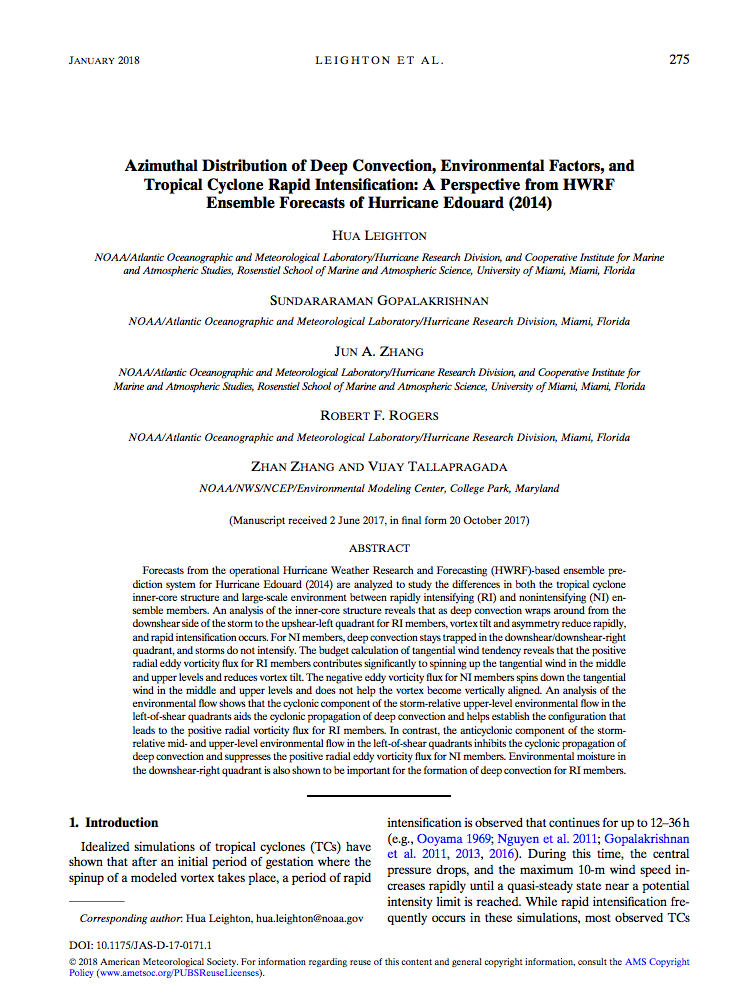
Azimuthal Distribution of Deep Convection, Environmental Factors, and Tropical Cyclone Rapid Intensification: A Perspective from HWRF Ensemble Forecasts of Hurricane Edouard (2014)

Leighton, H., Gopalakrishnan, S., Zhang, J. A., Rogers, R. F., Zhang, Z., & Tallapragada, V. (2018). Azimuthal distribution of deep convection, environmental factors, and tropical cyclone rapid intensification: A perspective from HWRF ensemble forecasts of Hurricane Edouard (2014). Journal of the Atmospheric Sciences, 75(1), 275-295.

Abstract: Forecasts from the operational Hurricane Weather Research and Forecasting (HWRF)-based ensemble prediction system for Hurricane Edouard (2014) are analyzed to study the differences in both the tropical cyclone inner-core structure and large-scale environment between rapidly intensifying (RI) and non intensifying (NI) ensemble members. An analysis of the inner-core structure reveals that as deep convection wraps around from the downshear side of the storm to the upshear-left quadrant for RI members, vortex tilt and asymmetry reduce rapidly, and rapid intensification occurs…

Download Full PDF

Read Full Article

Advances in Tropical Cyclone Intensity Forecasts

Atlas, R., Tallapragada, V., & Gopalakrishnan, S. (2015). Advances in tropical cyclone intensity forecasts. Marine Technology Society Journal, 49(6), 149-160.

Abstract: NOAA established the 10-year Hurricane Forecast Improvement Project (HFIP) to accelerate the improvement of forecasts and warnings of tropical cyclones and to enhance mitigation and preparedness by increased confidence in those forecasts. Specific goals include reducing track and intensity errors by 20% in 5 years and 50% in 10 years and extending the useful range of hurricane forecasts to 7 days. Under HFIP, there have been significant improvements to NOAA’s operational hurricane prediction model resulting in increased accuracy in the numerical guidance for tropical cyclone intensity predictions. This paper documents many of the improvements that have been accomplished over the last 5 years, as well as some future research directions that are being pursued. Keywords: hurricane, Hurricane Forecast Improvement Program (HFIP), Hurricane Weather Research and Forecasting Model (HWRF)

Download PDF Publication

Read Full Article