Tag: HRD_Publication

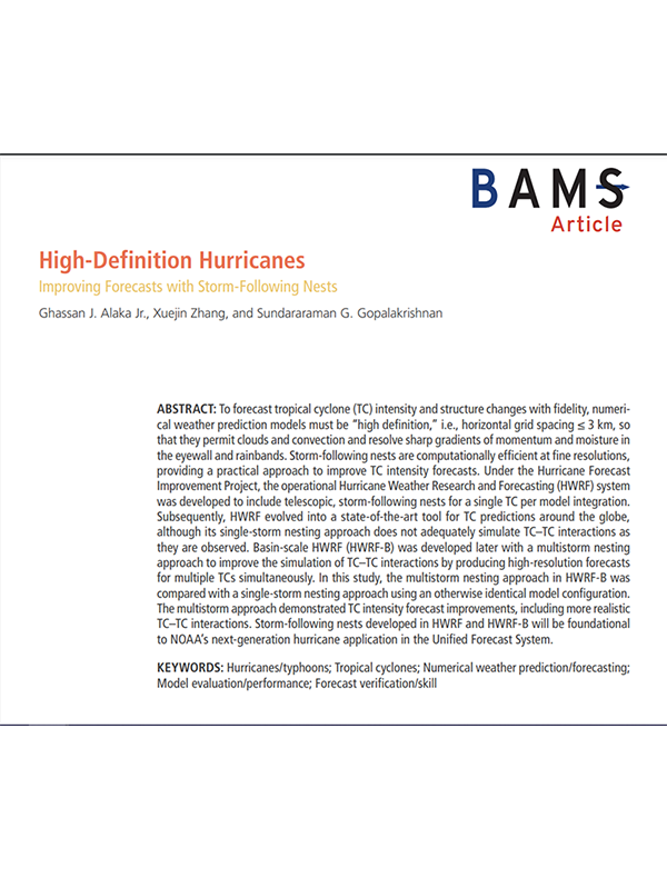
High-Definition Hurricanes: Improving Forecasts with Storm-Following Nests

Alaka Jr, G. J., Zhang, X., & Gopalakrishnan, S. G. (2022). High-definition hurricanes: improving forecasts with storm-following nests. Bulletin of the American Meteorological Society103(3), E680-E703.

Abstract: To forecast tropical cyclone (TC) intensity and structure changes with fidelity, numerical weather prediction models must be “high definition,” i.e., horizontal grid spacing ≤ 3 km, so that they permit clouds and convection and resolve sharp gradients of momentum and moisture in the eyewall and rainbands. Storm-following nests are computationally efficient at fine resolutions, providing a practical approach to improve TC intensity forecasts. Under the Hurricane Forecast Improvement Project, the operational Hurricane Weather Research and Forecasting (HWRF) system was developed to include telescopic, storm-following nests for a single TC per model integration.
Download Full Paper

Read Full Article

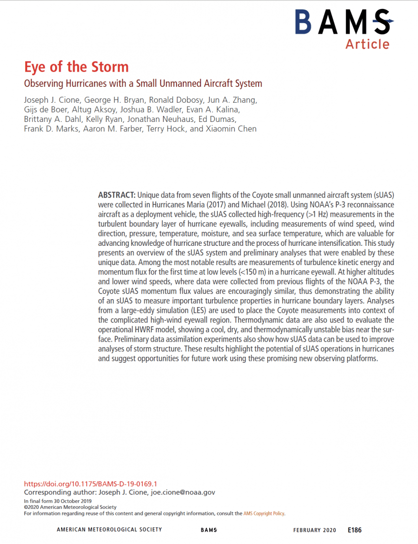
Eye of the Storm: Observing Hurricanes with a Small Unmanned Aircraft System

Cione, J. J., Bryan, G. H., Dobosy, R., Zhang, J. A., de Boer, G., Aksoy, A., … & Chen, X. (2020). Eye of the storm: observing hurricanes with a small unmanned aircraft system. Bulletin of the American Meteorological Society, 101(2), E186-E205.

Abstract: Unique data from seven flights of the Coyote small unmanned aircraft system (sUAS) were collected in Hurricanes Maria (2017) and Michael (2018). Using NOAA’s P-3 reconnaissance aircraft as a deployment vehicle, the sUAS collected high-frequency (>1 Hz) measurements in the turbulent boundary layer of hurricane eyewalls, including measurements of wind speed, wind direction, pressure, temperature, moisture, and sea surface temperature, which are valuable for advancing knowledge of hurricane structure and the process of hurricane intensification. This study presents an overview of the sUAS system and preliminary analyses that were enabled by these unique data. Among the most notable results are measurements of turbulence kinetic energy and momentum flux for the first time at low levels (150 m) in a hurricane eyewall. At higher altitudes and lower wind speeds, where data were collected from previous flights of the NOAA P-3...

Read Full Paper.

Read Full Article

Precipitation Processes and Vortex Alignment during the Intensification of a Weak Tropical Cyclone in Moderate Vertical Shear

Rogers, R. F., Reasor, P. D., Zawislak, J. A., & Nguyen, L. T. (2020). Precipitation Processes and Vortex Alignment during the Intensification of a Weak Tropical Cyclone in Moderate Vertical Shear. Monthly Weather Review, (2020).

Abstract:

The mechanisms underlying the development of a deep, aligned vortex, and the role of convection and vertical shear in this process, are explored by examining airborne Doppler radar and deep-layer dropsonde observations of the intensification of Hurricane Hermine (2016), a long-lived tropical depression that intensified to hurricane strength in the presence of moderate vertical wind shear. During Hermine’s intensification the low-level circulation appeared to shift toward locations of deep convection that occurred primarily downshear. Hermine began to steadily intensify once a compact low-level vortex developed within a region of deep convection in close proximity to a midlevel circulation, causing vorticity to amplify in the lower troposphere primarily through stretching and tilting from the deep convection…

Download PDF

Read Full Article

The HWRF Hurricane Ensemble Data Assimilation System (HEDAS) for High-Resolution Data: The Impact of Airborne Doppler Radar Observations in an OSSE

Aksoy, A., S. Lorsolo, T. Vukicevic, K.J. Sellwood, S.D. Aberson, and F. Zhang, 2012: The HWRF Hurricane Ensemble Data Assimilation System (HEDAS) for High-Resolution Data: The Impact of Airborne Doppler Radar Observations in an OSSE. Mon. Wea. Rev., 140, 1843–1862, https://doi.org/10.1175/MWR-D-11-00212.1

Abstract:

Within the National Oceanic and Atmospheric Administration, the Hurricane Research Division of the Atlantic Oceanographic and Meteorological Laboratory has developed the Hurricane Weather Research and Forecasting (HWRF) Ensemble Data Assimilation System (HEDAS) to assimilate hurricane inner-core observations for high-resolution vortex initialization. HEDAS is based on a serial implementation of the square root ensemble Kalman filter. HWRF is configured with a horizontal grid spacing of 9/3 km on the outer/inner domains. In this preliminary study, airborne Doppler radar radial wind observations are simulated from a higher-resolution (4.5/1.5 km) version of the same model with other modifications that resulted in appreciable model error. A 24-h nature run simulation of Hurricane Paloma was initialized at 1200 UTC 7 November 2008 and produced a realistic, category-2-strength hurricane vortex. The impact of assimilating Doppler wind observations is assessed in observation space as well as in model space. It is observed that while the assimilation of Doppler wind observations results in significant improvements in the overall vortex structure, a general bias in the average error statistics persists because of the underestimation of overall intensity. A general deficiency in ensemble spread is also evident. While covariance inflation/relaxation and observation thinning result in improved ensemble spread, these do not translate into improvements in overall error statistics. These results strongly suggest a need to include in the ensemble a representation of forecast error growth from other sources such as model error.

Download PDF

Read Full Article

Azimuthal Distribution of Deep Convection, Environmental Factors, and Tropical Cyclone Rapid Intensification: A Perspective from HWRF Ensemble Forecasts of Hurricane Edouard (2014)

Leighton, H., Gopalakrishnan, S., Zhang, J. A., Rogers, R. F., Zhang, Z., & Tallapragada, V. (2018). Azimuthal distribution of deep convection, environmental factors, and tropical cyclone rapid intensification: A perspective from HWRF ensemble forecasts of Hurricane Edouard (2014). Journal of the Atmospheric Sciences, 75(1), 275-295.

Abstract: Forecasts from the operational Hurricane Weather Research and Forecasting (HWRF)-based ensemble prediction system for Hurricane Edouard (2014) are analyzed to study the differences in both the tropical cyclone inner-core structure and large-scale environment between rapidly intensifying (RI) and non intensifying (NI) ensemble members. An analysis of the inner-core structure reveals that as deep convection wraps around from the downshear side of the storm to the upshear-left quadrant for RI members, vortex tilt and asymmetry reduce rapidly, and rapid intensification occurs…

Download Full PDF

Read Full Article

Rewriting the Climatology of the Tropical North Atlantic and Caribbean Sea Atmosphere

Dunion, J.P., 2011: Re-writing the climatology of the tropical North Atlantic and Caribbean Sea atmosphere. J. Climate, 24(3), 893-908, doi:10.1175/2010JCLI3496.1

Abstract: The Jordan mean tropical sounding has provided a benchmark reference for representing the climatology of the tropical North Atlantic and Caribbean Sea atmosphere for over 50 years. However, recent observations and studies have suggested that during the months of the North Atlantic hurricane season, this region of the world is affected by multiple air masses with very distinct thermodynamic and kinematic characteristics. This study examined ;6000 rawinsonde observations from the Caribbean Sea region taken during the core months (July–October) of the 1995–2002 hurricane seasons. It was found that single mean soundings created from this new dataset were very similar to C. L. Jordan’s 1958 sounding work. However, recently developed multispectral satellite imagery that can track low- to midlevel dry air masses indicated that the 1995–2002 hurricane season dataset (and likely Jordan’s dataset as well) was dominated by three distinct air masses: moist tropical (MT), Saharan air layer (SAL), and midlatitude dry air intrusions (MLDAIs). Findings suggest that each sounding is associated with unique thermodynamic, kinematic, stability, and mean sea level pressure…
Download PDF

Read Full Article

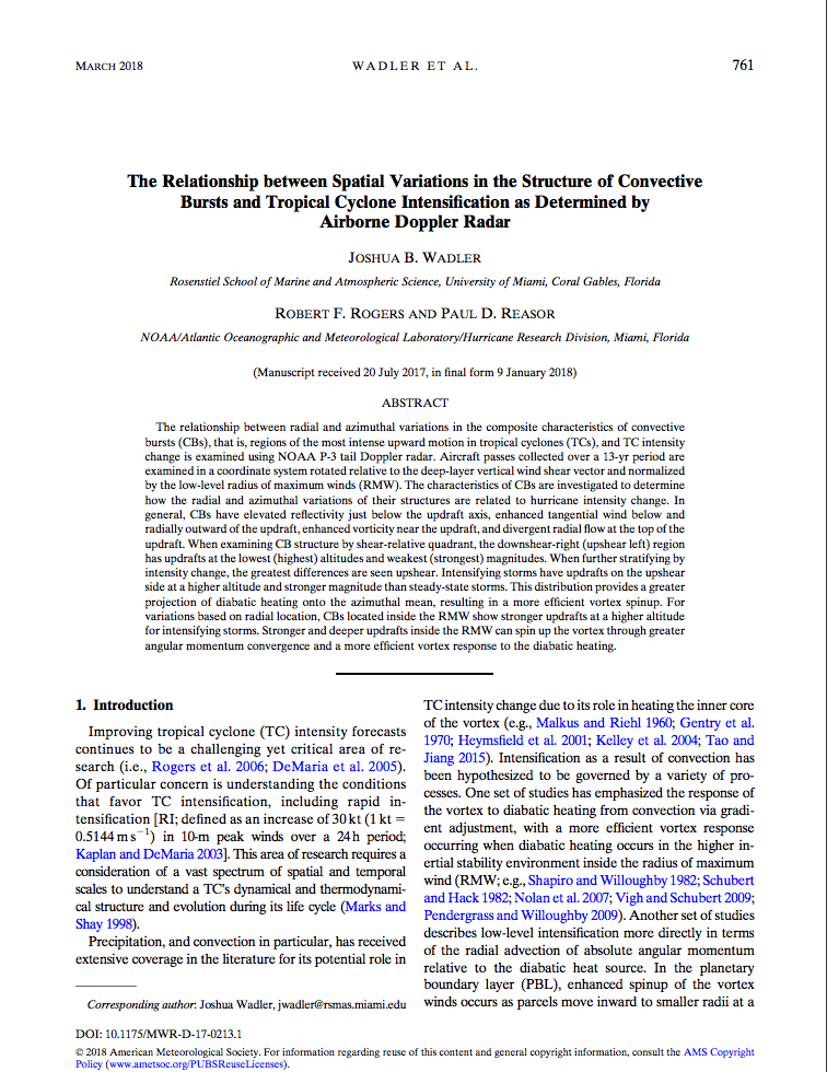
The Relationship between Spatial Variations in the Structure of Convective Bursts and Tropical Cyclone Intensification as Determined by Airborne Doppler Radar

Wadler, J.B., R.F. Rogers, and P.D. Reasor. The relationship between spatial variations in the structure of convective bursts and tropical cyclone intensification using airborne Doppler radar. Monthly Weather Review, 146(3):761-780, doi:10.1175/MWR-D-17-0213.1 2018

Abstract: The relationship between radial and azimuthal variations in the composite characteristics of convective bursts (CBs), that is, regions of the most intense upward motion in tropical cyclones (TCs), and TC intensity change is examined using NOAA P-3 tail Doppler radar. Aircraft passes collected over a 13-yr period are examined in a coordinate system rotated relative to the deep-layer vertical wind shear vector and normalized by the low-level radius of maximum winds (RMW). The characteristics of CBs are investigated to determine how the radial and azimuthal variations of their structures are related to hurricane intensity change…

View the PDF Article.

Read Full Article