Tag: hurricane forecasts

NOAA Hurricane Model Performance is Evaluated for the First Time in Predicting Rainfall from 2017 Hurricane Harvey

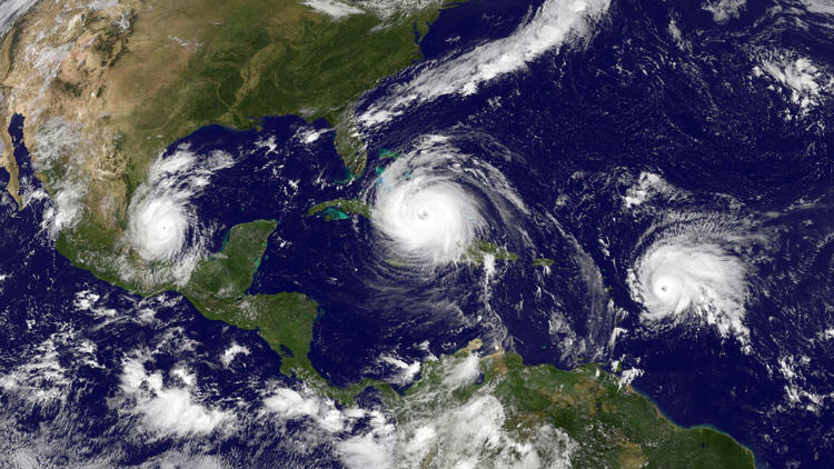
A recent study published in the journal Atmosphere evaluated for the first time, how well NOAA’s regional hurricane model was able to forecast the location and amount of devastating rainfall in 2017’s Hurricane Harvey. The Hurricane Weather Research and Forecasting (HWRF) model predicted the realistic total rainfall and the location of the maximum rainfall of Hurricane Harvey, which were the most devastating impacts of the storm’s landfall in coastal Texas.
Read Full Article

Modeling Michael: Using NOAA’s HFV3 to predict rapid intensification in Hurricane Michael

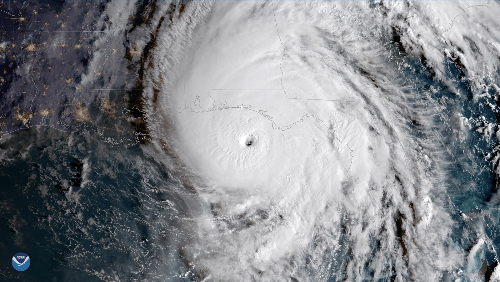
In a recently published study, AOML hurricane researchers used multiple computer model forecasts to gain a better understanding of how Hurricane Michael, which made landfall in the panhandle of Florida with winds up to 162 mph, rapidly intensified despite strong upper-level wind shear which usually weakens hurricanes. By contrasting two sets of forecasts, the study found that Michael only rapidly intensified when rainfall completely surrounded Michael’s center, and when the eye of the storm itself was located in nearly the same place at different heights.

Read Full Article

HWRF Model Leads the Pack in Performance for 2017 Atlantic Hurricane Season

Over the past 20 years, improvements in hurricane computer modeling, observational instrumentation, and forecaster training have greatly increased forecast accuracy. The many complex interactions that occur within the atmosphere remain to be fully understood, especially at the small scales associated with tropical cyclones. However, these milestones mark critical advances in numerical weather prediction that are paving the way to the next generation of NOAA models. While hurricanes cannot be controlled, vulnerability to these complex storms can be reduced through preparedness. Early warning and improved accuracy of forecasts can help save lives and reduce property damages caused by hurricanes.

Read Full Article

New and Improved Tools Aim to Enhance Hurricane Forecast Capabilities

AOML is currently in the midst of a multi-year effort called the Intensity Forecasting Experiment (IFEX). IFEX aims to improve the understanding and prediction of intensity change by collecting observations from all stages of a tropical cyclone life cycle—genesis to decay—to enhance current observational models. By building on years of observational expertise and cutting-edge approaches to data integration and model development, hurricane scientists at AOML lead advancements in observations and modeling that have improved intensity forecasts by 20% in recent years.

Read Full Article

Upper Air Observations: How Weather Balloons Improve Forecasts

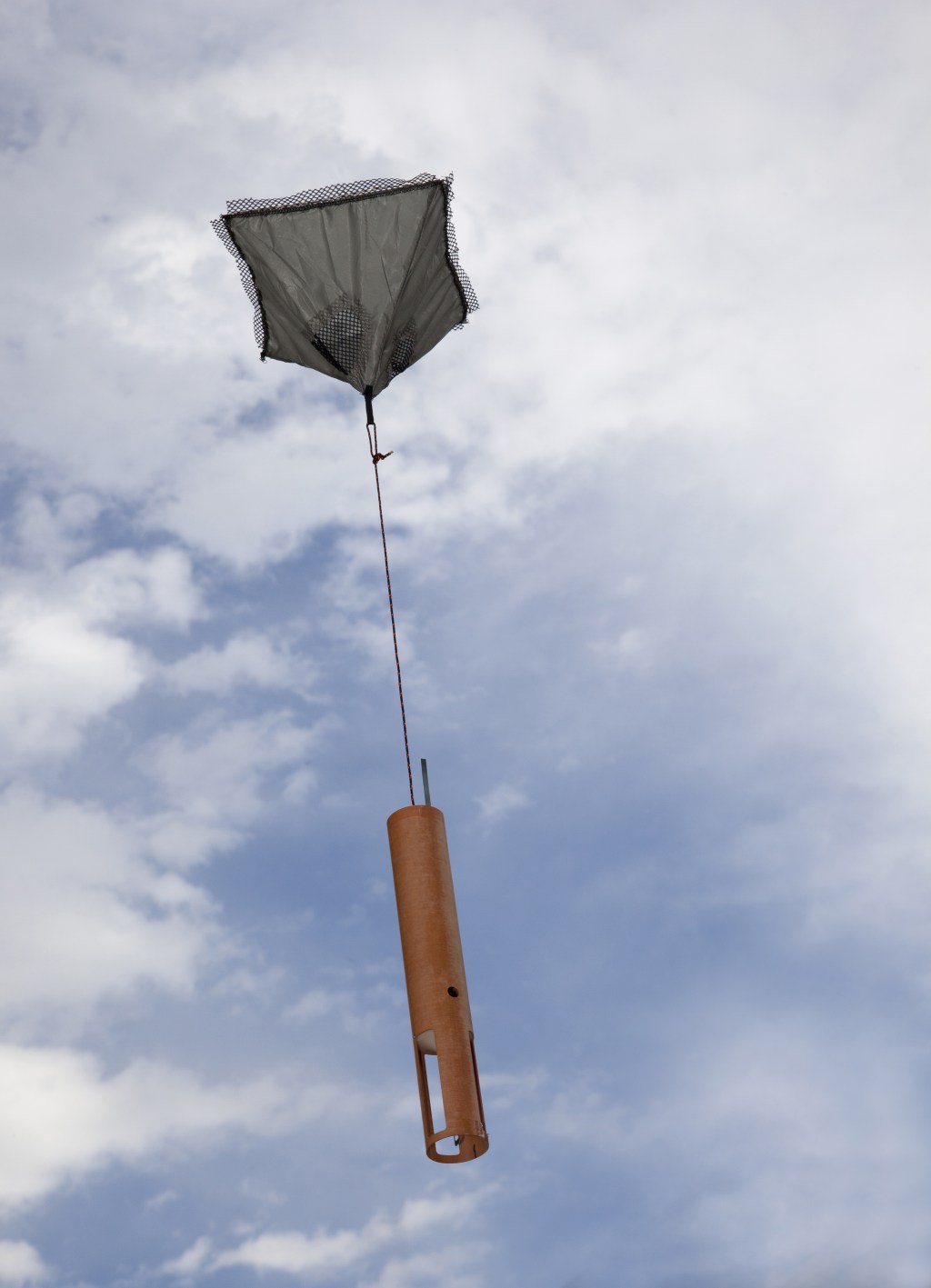
Observations of the atmosphere are critical to every aspect of weather forecasting. While there are several new and improved tools used to enhance storm forecasts, weather balloons prevail as one of the longest running and most dependable tools deployed by meteorologists. Released twice a day, every day of the year in the U.S. – sometimes more frequently during extreme weather events – weather balloons, also known as radiosondes, provide detailed and reliable data that ultimately help predict the path of storms.

Read Full Article

NOAA Hurricane Hunter Radar Paints Picture of Hurricane Winds

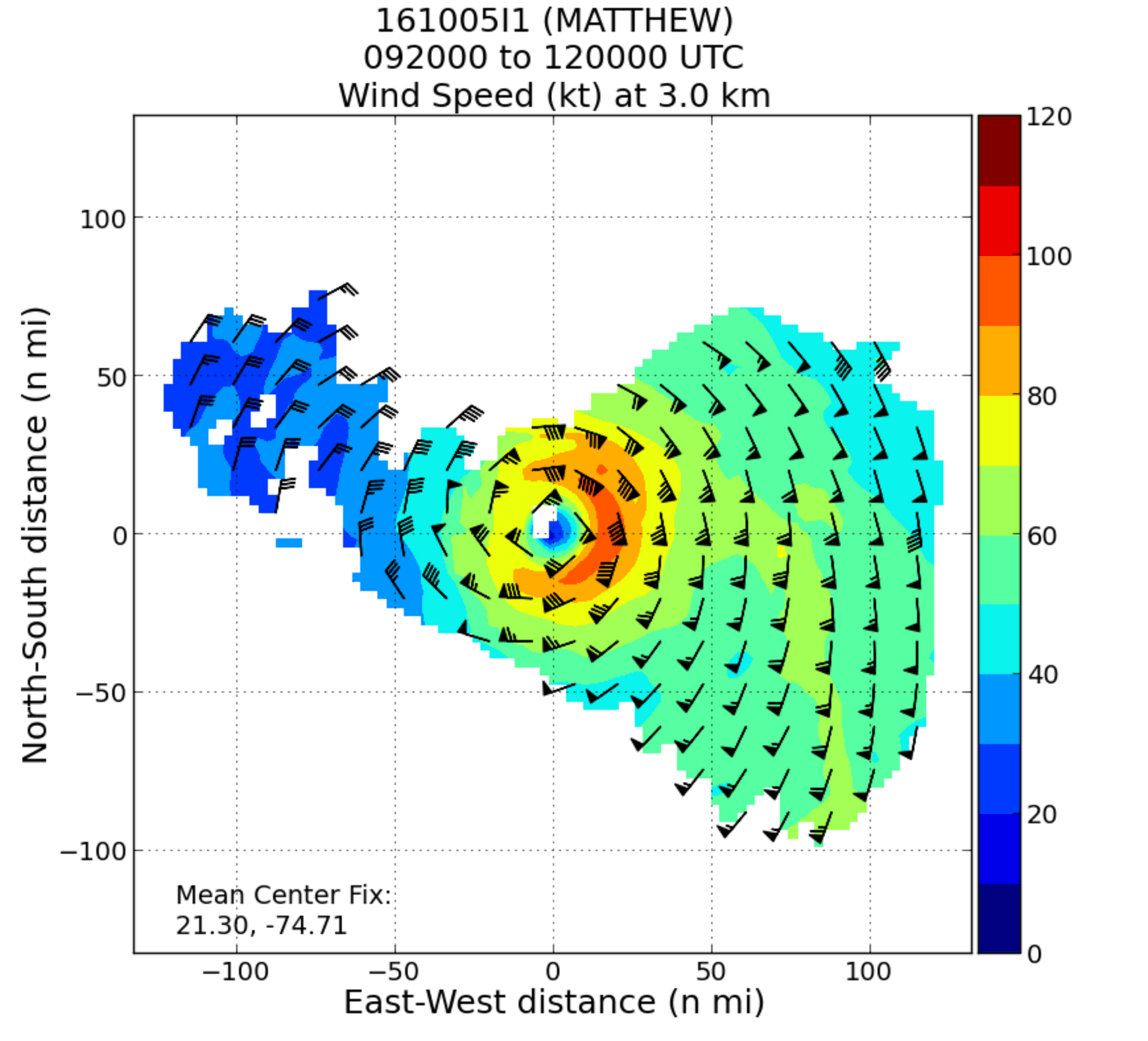
NOAA’s hurricane hunter aircraft carry a unique radar that measures wind in hurricanes where there is rain. Located in the tail of the aircraft and known as the Tail Doppler Radar, this instrument produces images that can provide detailed pictures scientists use to study storm structure and changes. Scientists can also piece together wind speed information gathered over the course of a flight to paint a complete picture of the wind speed in the regions of the storm where the aircraft flies.

Read Full Article

Through the Eyewall – My Experience with the NOAA Hurricane Hunters

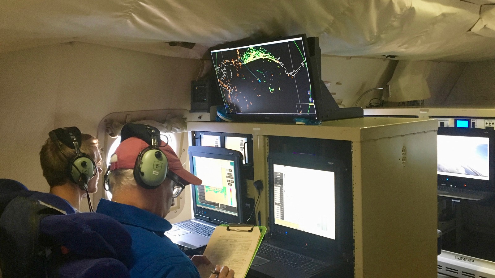
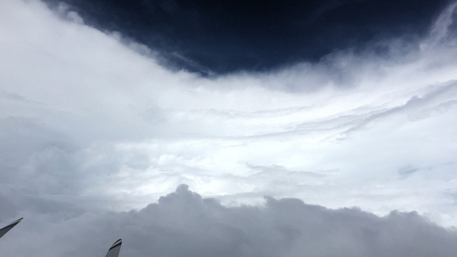
There aren’t many people who can say they have flown directly into a hurricane, but on October 5, 2016, I had a very unique opportunity to fly into Hurricane Matthew with NOAA’s Hurricane Hunters. Matthew was quickly moving across the Atlantic Ocean, and each new forecast moved it closer to the East Coast of Florida. With the high potential for hurricane watches and warnings, NOAA started preparations for routine flight operations.

Read Full Article

From the Eye of the Hurricane to High-Resolution Models – How NOAA Improves Hurricane Forecasts

As a hurricane approaches landfall, citizens are hoping that they are adequately prepared for the potential damage from strong winds and rising oceans. NOAA’s job is to forecast the storm location and strength, or intensity, to help communities make the best informed decisions. For many scientists, predicting intensity is a challenge at the forefront of hurricane research, and in recent years advancements in observations and modeling have improved NOAA’s forecasts of intensity by 20%. We are now at the point where scientists can observe and predict with very fine detail what is happening in the inner core of the storm.

Read Full Article

Behind the 2015 Atlantic Hurricane Season: Wind Shear & Tropical Cyclones

With the 2015 Atlantic hurricane season underway, researchers are pointing to the strong presence of El Niño as the major driver suppressing the development of tropical cyclones in the Atlantic basin. But what specific conditions are associated with El Niño that lead to a less than ideal environment for tropical cyclone development? Through research and observation, hurricane researchers know strong environmental wind shear is a major factor affecting potential hurricane development and growth. This hurricane season, AOML researchers are delving further into the relationship between wind shear and tropical cyclones.

Read Full Article