Tag: hurricane forecasts

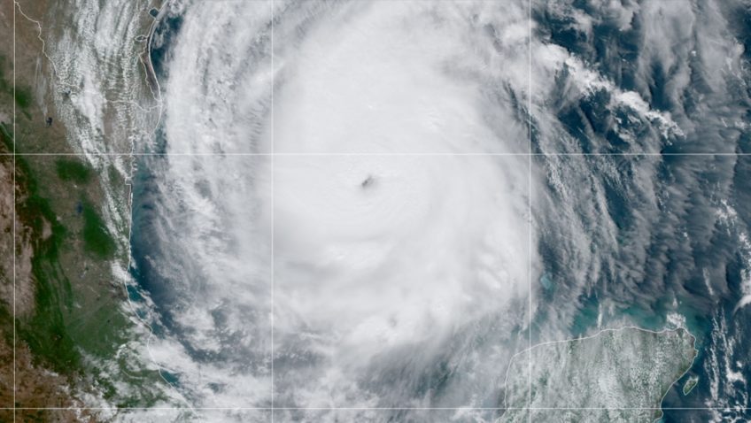
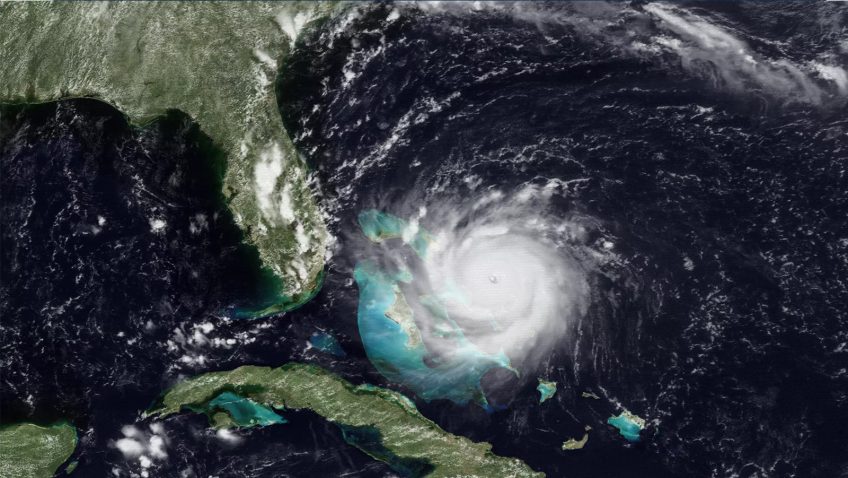
Thirty years of progress in hurricane forecasting since Hurricane Andrew

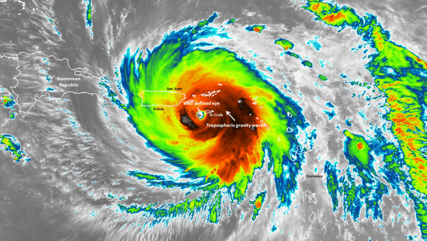
Hurricane Andrew made landfall on August 24, 1992, near Homestead, Florida, becoming one of the most catastrophic hurricanes in U.S. history. It had an extremely low central pressure of 922 millibars and maximum sustained wind speeds estimated at 165 miles per hour. The storm rapidly intensified less than 36 hours before landfall, leaving most residents less than a day to secure their homes and heed evacuation orders.

Read Full Article

Coyote Small Uncrewed Aircraft System Data Improved Hurricane Maria Forecasts

Observations obtained by the Coyote small Uncrewed Aircraft System led to a significant improvement in the analyses of Hurricane Maria’s (2017) position, intensity, and structure, according to new ­research published in the journal Monthly Weather Review. The study by scientists with the University of Miami’s Cooperative ­Institute for Marine and Atmospheric Studies and Atlantic Oceanographic and Meteorological Laboratory (AOML) highlights how ­the ­Coyote’s novel near-surface measurements helped to more ­accurately depict ­Hurricane Maria’s inner core, ­demonstrating their ability to improve forecasts.

Read Full Article

Ocean Drones Brave Hurricanes to Make Coastal Communities Safer

Saildrone is announcing a new mission to deploy five uncrewed surface vehicles (USVs) from the US Virgin Islands in August to gather key data throughout the 2021 Tropical Atlantic hurricane season. The USVs will be equipped with specially designed “hurricane wings” to enable them to operate in extreme conditions. Saildrones are the only USVs capable of collecting this data and are designed to withstand winds over 70 mph and waves over 10 feet, which occur during a hurricane weather system. The five saildrones will sail into the paths of hurricanes to provide valuable real-time observations for numerical hurricane prediction models and to collect new insights into how these large and destructive weather cells grow and intensify.

Read Full Article

Drones that hunt hurricanes? NOAA puts some to the test

Originally Published January 25th, 2021 at NOAA.Gov

“We’re hopeful this new technology, once it can be successfully tested in a hurricane environment, will improve our understanding of the boundary layer and advance NOAA forecast models used in forecasts,” said Joseph Cione, lead meteorologist at NOAA’s Atlantic Oceanographic and Meteorological Laboratory Hurricane Research Division. “Ultimately, these new observations could help emergency managers make informed decisions on evacuations before tropical cyclones make landfall.”

Read Full Article

A New Study Connects Greater Amounts of Cloud Ice in Tropical Cyclones to Intensification

A new study published in Geophysical Research Letters looks at the relationship between how fast a tropical cyclone intensifies and the amount of ice in the clouds that make up the storm. Hurricane scientists found that tropical cyclones with greater amounts of cloud ice are likely to intensify faster than those with less cloud ice.

Read Full Article

New Study Looks at How Different Techniques to Model the Hurricane Boundary Layer Can Improve Forecasts

In a new study published in Atmosphere, hurricane scientists looked at how turbulent mixing in the boundary layer affects the intensity and structure of hurricanes in NOAA’s Hurricane Weather Research and Forecasting (HWRF) model. They found that turbulent mixing affects where thunderstorms in hurricanes occur, and how fast air flows towards the center of a storm.

Read Full Article