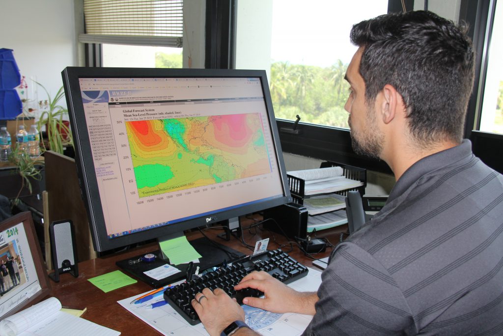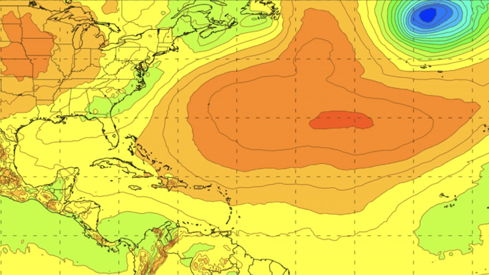

A recent paper published in Atmosphere introduces a new update to the Basin-Scale Hurricane Weather Research and Forecasting (HWRF-B) model, which pairs an atmospheric model with an ocean model via new coupling technology to forecast several tropical cyclones simultaneously. This model, shown to improve forecast skill, was developed at AOML in collaboration with NOAA’s Environmental Modeling Center and the Developmental Testbed Center.
With the addition of this new multi-storm coupling technology, HWRF-B has become a state-of-the-art modeling system. It is being used to better understand multi-storm interactions of all types, including interactions between tropical cyclones that are close to one another, as well as interactions between tropical cyclones in different ocean basins. This new version of HWRF has improved scientists’ ability to track storms by up to 25 percent, and the ability to forecast storm intensity by up to 40 percent.
Improved tropical cyclone forecasts are vital to emergency managers charged with protecting vulnerable communities along coastal areas of the U.S. Greater knowledge of when and where a storm will come ashore helps to reduce the extent of evacuation areas, saving lives and increasing the public’s confidence in NOAA’s official hurricane forecasts and warnings.
“This new version of HWRF-B captures important multi-storm interactions at high resolution and couples each tropical cyclone to the ocean to optimize intensity forecasts,” said AOML hurricane scientist Gus Alaka. “In this study, we highlighted the interaction of Tropical Storm Lorena and Tropical Storm Mario in the eastern North Pacific. Multi-storm interactions are not rare occurrences as we just observed Hurricanes Laura and Marco interact with one another in the Gulf of Mexico.”
Sea surface temperatures and the interactions between the ocean and atmosphere are critical components for forecasting the development and intensity changes of tropical cyclones, especially for slow-moving storms. Tropical cyclones do not usually form if sea surface temperatures are colder than 26 degrees Celsius (78.8 F).
Several studies have demonstrated there are both favorable and unfavorable interactions that occur between tropical cyclones and the ocean. For example, hurricane winds can cool the surface of the ocean and limit hurricane intensification. However, surface winds from tropical cyclones can also enhance the rate of heat flux at the ocean’s surface, fueling tropical cyclone intensification.
“Scientists have known about the importance of the ocean to tropical cyclone intensity for decades. However, until recently, available computing power limited the coupling of sophisticated ocean models to high-resolution atmosphere models,” Alaka said. “The bar is pretty high because the atmosphere/ocean coupling technology shouldn’t slow down the forecast.”
Atmospheric and ocean coupling has been implemented in models such as NOAA’s HWRF model, which over the last decade has become more sophisticated at simulating air-sea interactions, producing increasingly accurate intensity forecasts.
Despite these improvements, the HWRF model can only simulate one tropical cyclone at a time. HWRF-B is unique in that it supports multiple storm-following nests to produce high-resolution predictions for several tropical cyclones within the same model forecast.
The HWRF-B model was evaluated for a three-year period by analyzing the sea surface temperature response to six tropical cyclone case studies. It was discovered that the median track, intensity, and structure forecasts from HWRF-B were significantly better than those from the storm-centric HWRF model.
These results reinforce the concept that coupling between the ocean and atmosphere through the newly developed HWRF-B multi-storm model captures essential ocean–atmosphere interactions that are important for more skillful tropical cyclone intensity forecasts.