NOAA Premieres Strategies Focused on Emerging Science and Technology
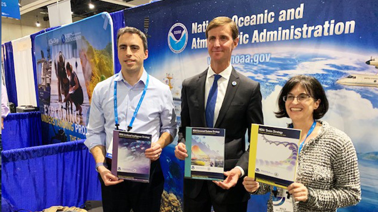
At the 2020 international Ocean Sciences meeting, AOML microbiologist Kelly Goodwin helped NOAA unveil a new strategy for how the agency will dramatically expand its use of ‘Omics in the coming years. The ‘Omics strategy is one of four blueprints NOAA premiered that will guide transformative advancements in the quality and timeliness of its science, products, and services.