
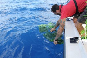
In 2018, AOML researchers released an assortment of GPS equipped drifters into the tropical Atlantic Ocean and Caribbean Sea to study how ocean currents and winds play a role in the distribution of Sargassum. With the data obtained from the sargassum drifters along with satellite data from the University of South Florida, AOML researchers now have the ability to distribute weekly experimental Sargassum Index Reports. These reports estimate the risk of Sargassum to various coastal areas. The reports can be accessed here.
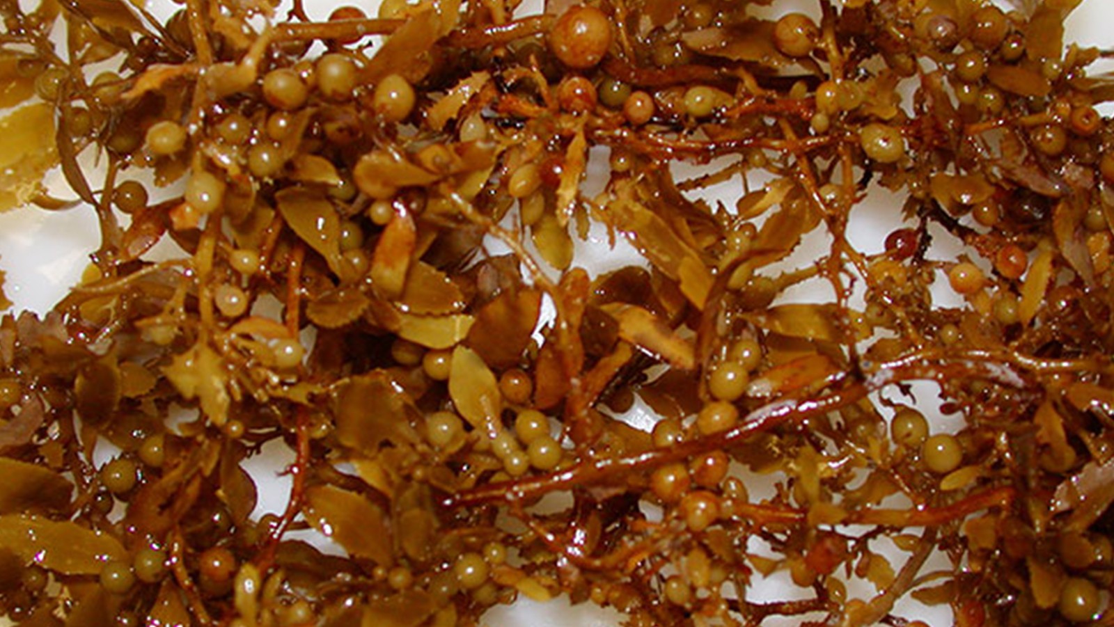
Sargassum is a common type of brown algae that floats in dense mats along the ocean surface and represents a significant risk to the environment, society, and economy of regions in the Caribbean Sea and Gulf of America. The index reports link Sargassum to beach inundation, coral reef degradation, tourism industry disruption, coastal erosion, and sea turtle nesting, among other and mostly negative impacts. Ocean circulation and wind patterns ultimately govern the downstream distribution of Sargassum. The key to forecasting the movement of Sargassum is in understanding the impact of surface currents and winds on its trajectories.
Though the originating source of Sargassum patches has yet to be identified, AOML scientists will continue to work with research partners on experiments utilizing the drifters and conducting additional field experiments to better understand and predict and track Sargassum in the future.
