HRD researchers discussed the results from the 15 P-3 and 10 G-IV missions into Hurricane Dorian, AL05 (26 August – 5 September 2019). The format of the debrief was different than in the past. A brief overview is provided of the storm and missions, followed by a series of 8 short presentations discussing planned and […]
Read Full Article
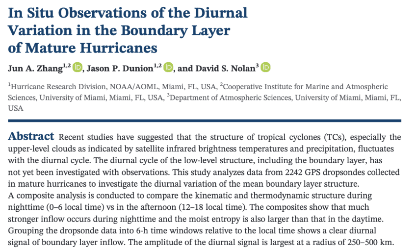
Summary: The very tall clouds that we see in satellite pictures of tropical cyclones (also known as hurricanes) fan out from the hurricane’s center over the course of each day, what we call a diurnal cycle. This is because a pulse of thunderstorms and rain forms near the hurricane center each night and steadily moves […]
Read Full Article
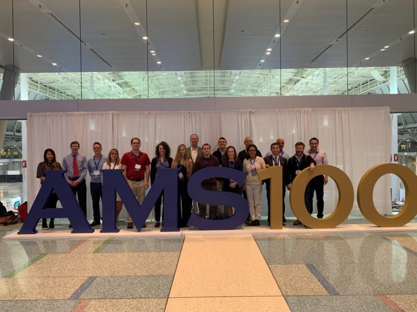
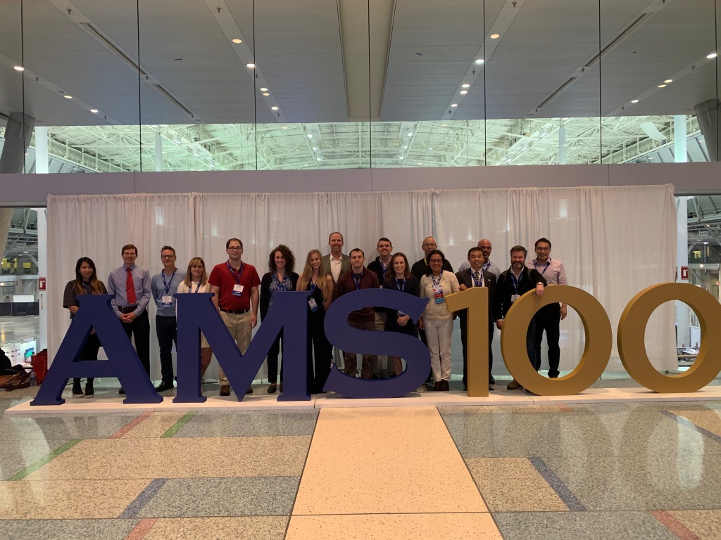
HRD scientists recently attended the 100th American Meteorological Society Meeting in Boston. There, they presented 33 oral presentations and 10 posters. You can access the abstracts and recorded talks (when available) by clicking on them.
Read Full Article
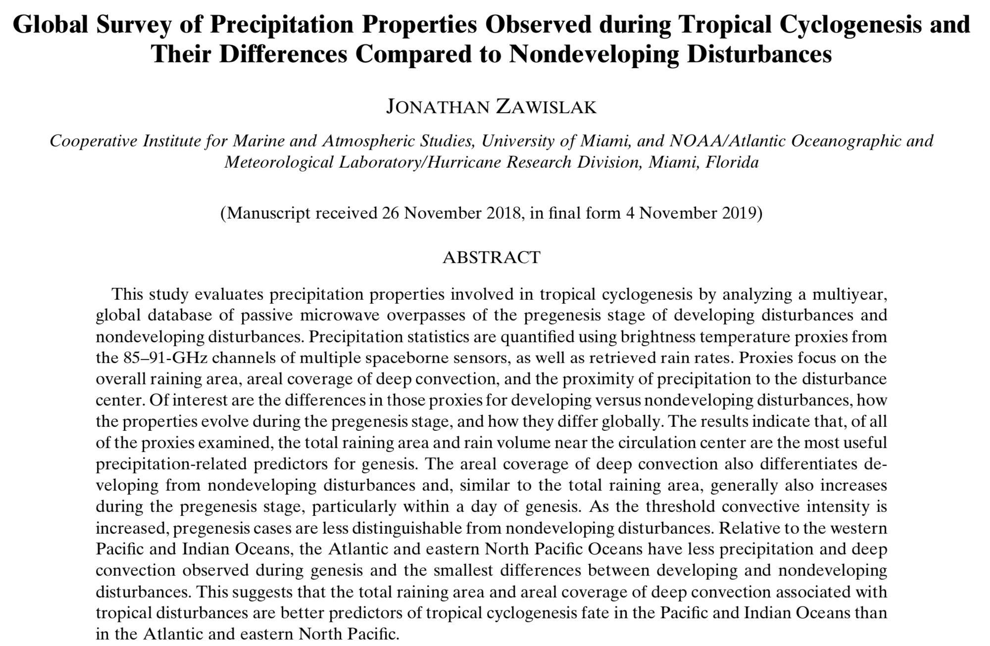
Summary: Many weather satellites are outfitted with instruments that can see through clouds to sense where and how hard it is raining (the rain rate), and how much of the rain is occurring in deep convective clouds (cumulus and cumulonimbus clouds that form when warm air rises). They can also see tropical disturbances, which are usually […]
Read Full Article
Summary: Accurate forecasts of hurricane strength are necessary to protect people in the path of a storm. The strongest winds in a hurricane are found near the center of the storm, in a ring of dangerous weather called the eyewall. As a hurricane grows older, it is common for the eyewall to eventually weaken and get […]
Read Full Article
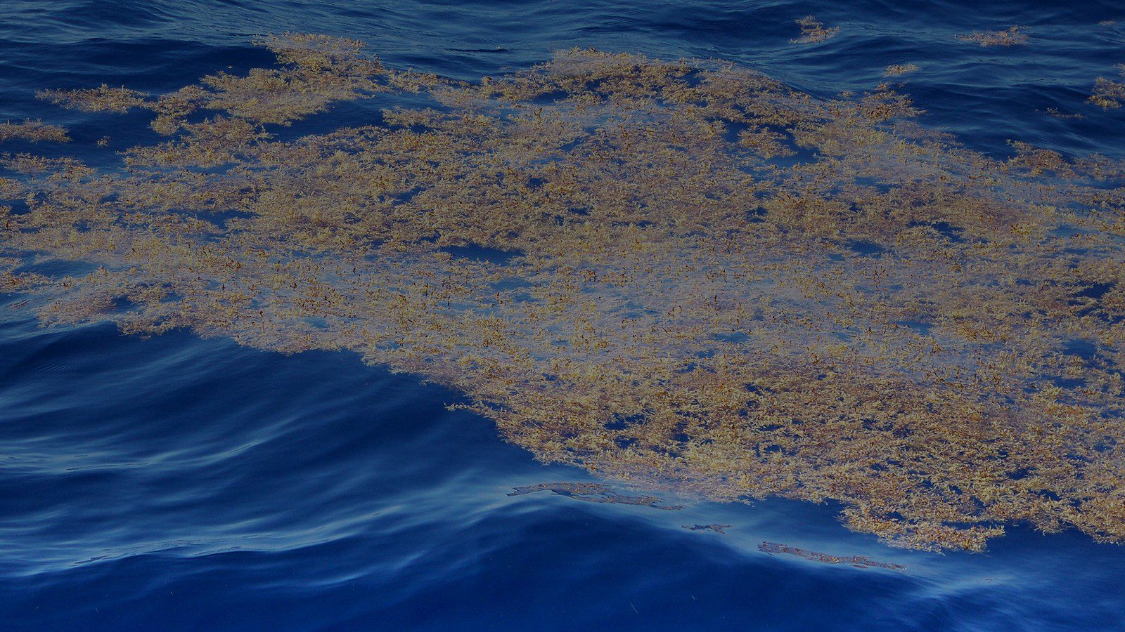
Ocean Observationsfor a Sustainable Blue Economy Observing Technology to Conserve and Manage Resources and Protect Marine Ecosystems JUMP TO Sargassum FAQ OR SCROLL TO LEARN MORE Who We Are AOML scientists use ocean observations to help protect species, provide insight to support ecosystem management decisions, and understand and predict how environmental conditions change. We [...]
Read Full Article
Hurricanes are fed by energy from the warm ocean. The center of a hurricane is surrounded by tall clouds, called cumulus clouds, that produce the heat needed to keep the spin, what we call vorticity, in the hurricanes going. When there are a lot of cumulus clouds around the hurricane’s center, the hurricane spins more rapidly. However, […]
Read Full Article
You can reach the study at https://journals.ametsoc.org/doi/pdf/10.1175/JAS-D-19-0067.1.
Read Full Article
Read the full study at https://link.springer.com/article/10.1007/s10546-019-00487-8.
Read Full Article
December’s science meeting, hosted by the National Hurricane Center, consisted of seven presentations: Michael Brennan (NHC): “NHC Forecast Verification and Challenges” Mark DeMaria (NHC): “A New Method for Creating a 2-D Surface Wind Field from the NHC Official Forecast” James Franklin (NHC): “HFIP Performance Measure For Rapid Intensification” Mu-Chieh (Laura) Ko (HRD): “A Review of […]
Read Full Article