
After a week of daily map discussions led by student forecasters at the University at Albany-SUNY, as part of AOML’s Hurricane Field Program, NOAA interest in Tropical Storm Gamma has resulted in planned reconnaissance missions starting at 5 AM EDT on Saturday, October 3.
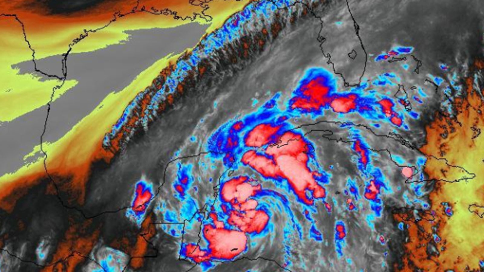
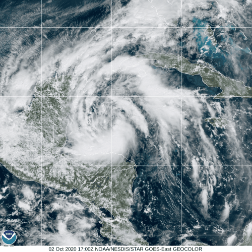
A target for an Environmental Modeling Center (EMC) tasking, the system currently resides in the western Caribbean, where the National Hurricane Center (NHC) expects some development to occur as the circulation drifts northwestward.
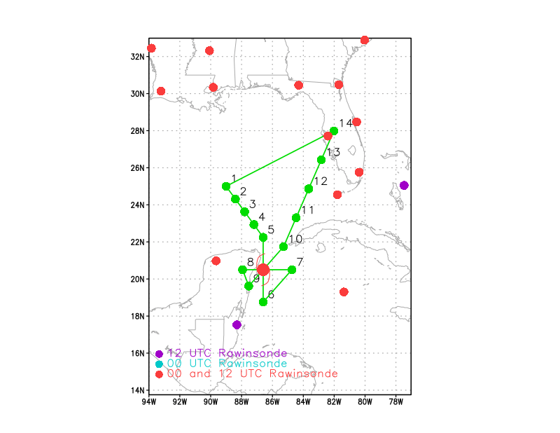
Measurements obtained during NOAA P-3 Hurricane Hunter flights will be processed by AOML hurricane scientists both onboard the aircraft and remotely from the ground.
From an altitude of 20,000 feet, onboard Tail Doppler Radar, Stepped Frequency Microwave Radiometer (SFMR), and dropsondes will capture the circulation’s location, strength, and structural characteristics that may provide information about Gamma’s potential for further intensification. Data coverage includes both in-storm and nearby environmental conditions that may influence the system’s development.
These data will be ingested into operational numerical models to reduce uncertainty in the forecast of Tropical Storm Gamma. Follow-on missions will depend on the evolution of the system throughout the weekend.
For the latest information about tropical cyclones and other weather systems, visit the NOAA National Weather Service National Hurricane Center.
For information on numerical prediction of tropical cyclones, visit the NOAA National Centers for Environmental Prediction Environmental Modeling Center.