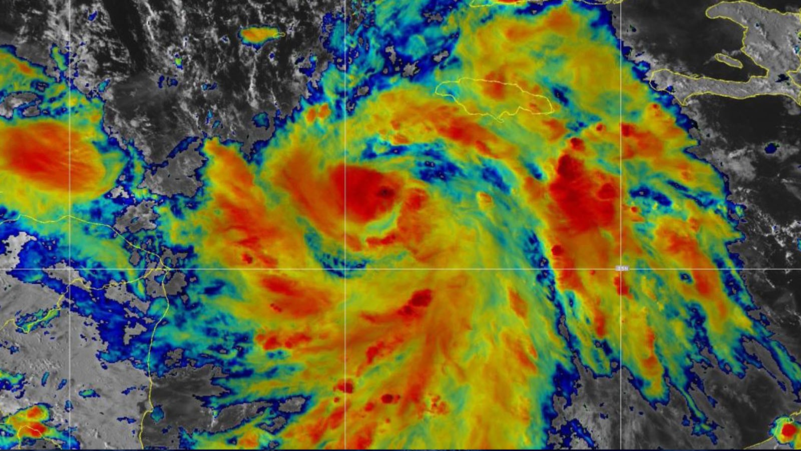

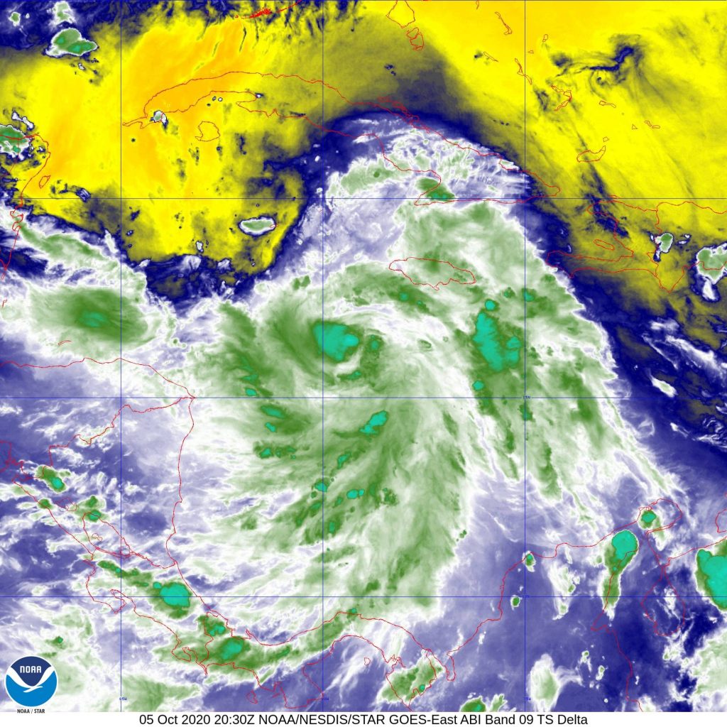
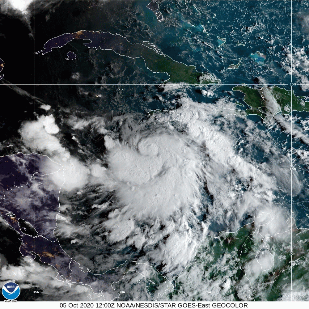
Aircraft reconnaissance operations began October 5 to investigate the location and strength of Hurricane Delta’s circulation.
Tasked by the National Hurricane Center (NHC), NOAA’s P-3 aircraft took off at 1 PM EDT from Lakeland, FL. At an altitude of 5,000 feet, instrumentation will allow hurricane experts to diagnose the current state of Hurricane Delta’s inner-core structure as it organizes.
Follow-on missions will continue every 12 hours until the system makes landfall along the Gulf Coast of the United States.
NOAA’s G-IV aircraft will begin its sampling of the conditions nearby and ahead of Hurricane Delta on October 6. It is scheduled to take off from Lakeland, FL at 1:30 PM EDT.
AOML hurricane scientists both onboard and remotely supporting these missions will ensure optimal measurement coverage of Delta’s environment and a high quality of the data collected. They will also take advantage of opportunities to perform short scientific experiments, called modules.
Depending on Delta’s evolution, science objectives within these modules aim to identify processes that may be important for a tropical cyclone’s development, including its interaction with other systems, its exchange of energy with the ocean surface, and its ability to maintain structure in the presence of winds that vary with height, known as vertical wind shear.
Dropsondes, onboard Tail Doppler Radar, Stepped Frequency Microwave Radiometer and flight-level sensors will capture the intensity of the winds at the surface and the 3-dimensional structure of the vortex as it moves through the Western Caribbean and into the Gulf of Mexico.
Further temperature, moisture, and precipitation characteristics revealed by the data obtained within the storm and in its near environment can provide forecasters and scientists with information about how Hurricane Delta may develop as it remains embedded in favorable conditions.
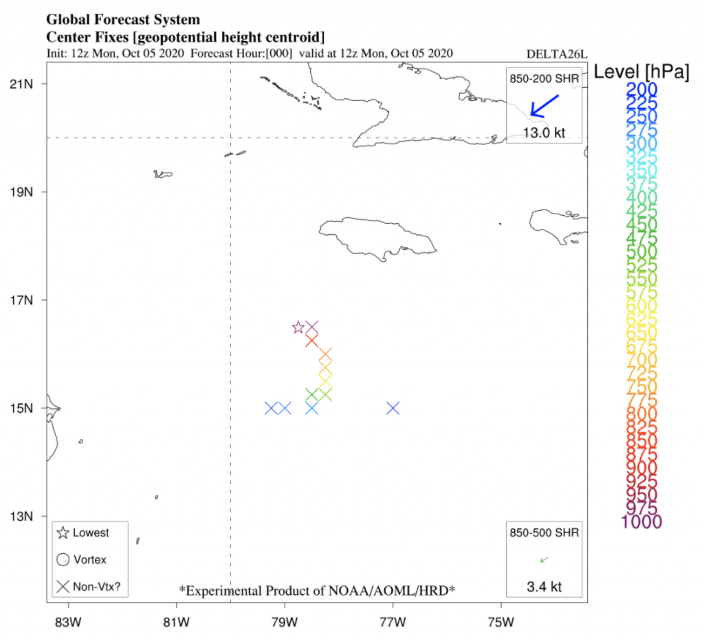
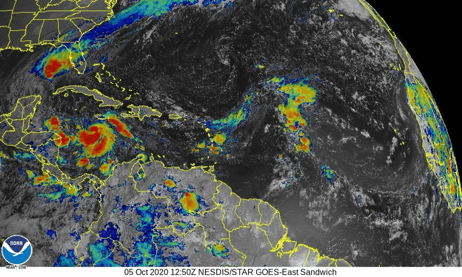
NHC predicts that Delta will intensify and continue to strengthen thereafter as the system interacts with Tropical Depression Gamma to its northwest.
The interaction between the two tropical cyclones adds uncertainty to Hurricane Delta’s track forecast and may enhance its ability to intensify. Ingesting NOAA Hurricane Hunter aircraft measurements into numerical models may reduce this uncertainty by initializing these simulations with the most current conditions.
For details about reconnaissance aircraft missions, please see NOAA’s official Plan of the Day.
For the latest information about tropical cyclones and other weather systems, visit the NOAA National Weather Service National Hurricane Center.
For information on numerical prediction of tropical cyclones, visit the NOAA National Centers for Environmental Prediction Environmental Modeling Center.