Category: Physical Oceanography

Scientists Find Southern Ocean Removing CO2 from the Atmosphere More Efficiently

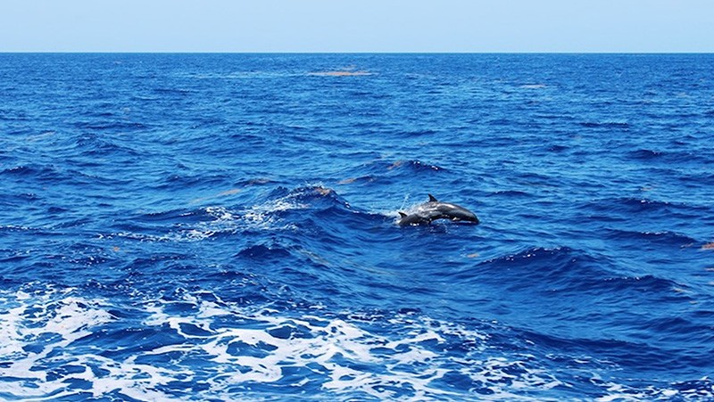
A research vessel ploughs through the waves, braving the strong westerly winds of the Roaring Forties in the Southern Ocean in order to measure levels of dissolved carbon dioxide in the surface of the ocean. (Nicolas Metzl, LOCEAN/IPSL Laboratory).

Read Full Article

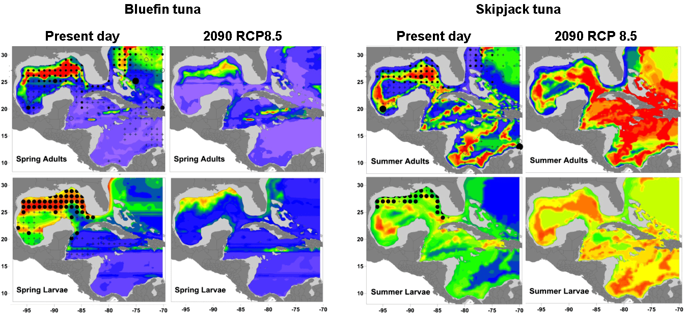
AOML Partners with NOAA Fisheries to Study Larval Fish in the Caribbean

AOML is partnering with NOAA’s Southeast Fisheries Science Center (SEFSC) to conduct an interdisciplinary research cruise aboard the NOAA Ship Nancy Foster from April 11, 2015 through June 3, 2015. The cruise will begin in the U.S. Virgin Islands and extend westward across the northern Caribbean conducting various biological and physical oceanographic surveys.

Read Full Article

NOAA Conducts Interdisciplinary Research Cruise in the Caribbean Aboard the Nancy Foster

AOML partnered with NOAA’s Southeast Fisheries Science Center (SEFSC) to conduct an interdisciplinary research cruise aboard the NOAA Ship Nancy Foster from April 11, 2015 through June 3, 2015. The cruise began in the U.S. Virgin Islands and extended westward across the northern Caribbean to Mexico. Researchers from various institutions conducted a myriad of biological and physical oceanographic surveys during the three month cruise.

Read Full Article

Drifter Program Catches a Lift to the Southern Ocean with the Volvo Ocean Race

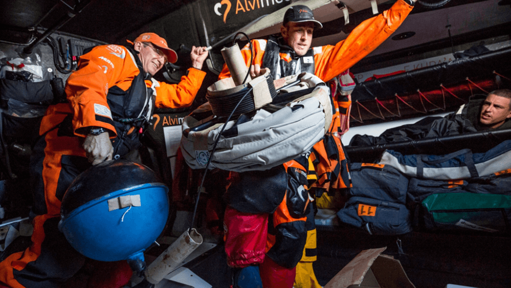
If you’ve ever sailed aboard a ship in the coastal ocean, or checked a weather report before going to the beach, then you are one of many millions of people who benefit from ocean observations. NOAA collects ocean observations and weather data to provide mariners with accurate forecasts of seas, as well as coastal forecasts and even regional climate predictions. It takes a lot of effort to maintain observations in all of the ocean basins to support these forecasts, and NOAA certainly can’t do it alone. Partnerships are essential to maintaining a network of free-floating buoys, known as drifters, and NOAA’s latest partner is not your typical research or ocean transportation vessel: the six sailboats and crew currently racing around the world in the Volvo Ocean Race.

Read Full Article

New Antenna System Design Improves Reliability and Significantly Reduces Cost

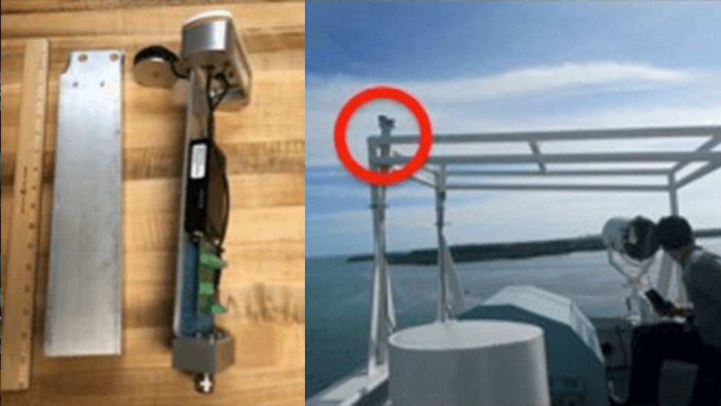
Scientists and engineers from NOAA have successfully designed, built, and tested a new antenna system that dramatically increases data transmission reliability while drastically reducing operating costs. The new Iridium-based transmission system, developed by NOAA’s Atlantic Oceanographic & Meteorological Laboratory (AOML) & the Cooperative Institute for Marine & Atmospheric Studies (CIMAS), has no restrictions on data format or size, allowing data from various ocean and land-based observation platforms to be transmitted more reliably and at a fraction of the cost of the older Inmarsat-C platform. Since completion, the Iridium system has been adopted on a number of Expendable Bathythermographs (XBTs) observation transects and have been simultaneously tested and implemented in other AOML observing systems.

Read Full Article

February 2015 Western Boundary Time Series Cruise

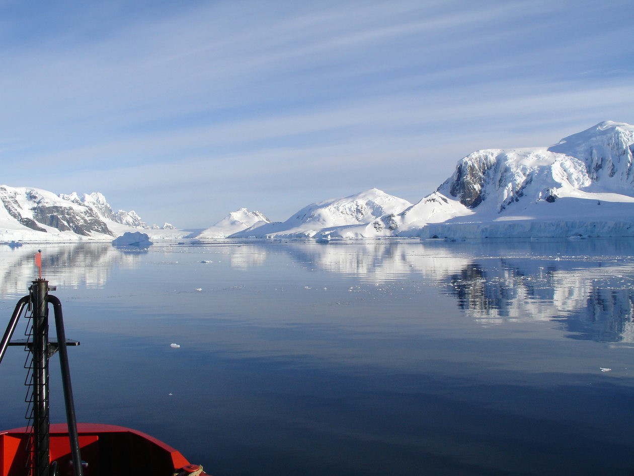
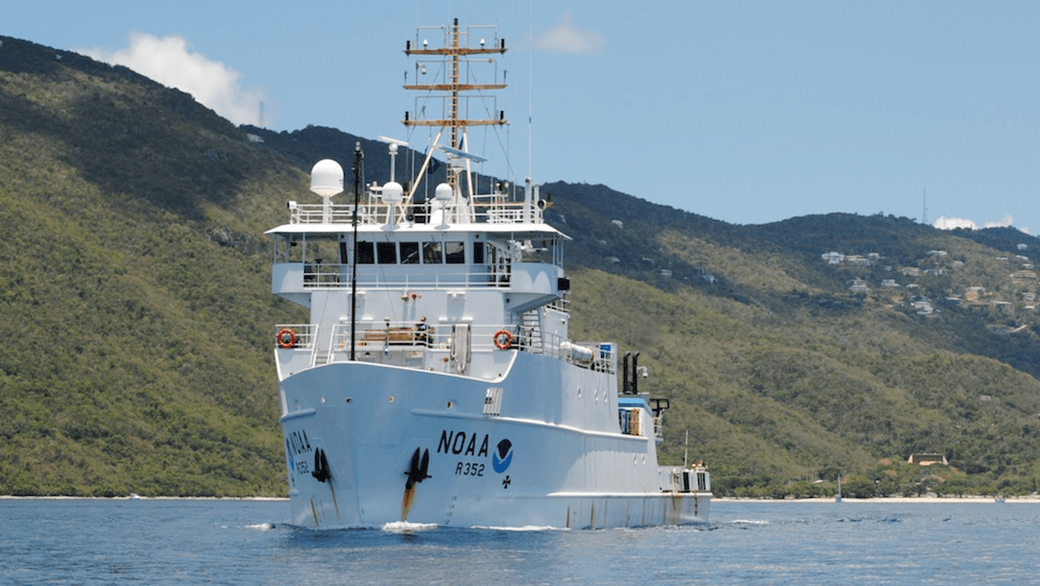
AOML physical oceanographers Molly Baringer, Ulises Rivero, Pedro Pena, Andrew Stefanick, Grant Rawson, Jay Hooper and Francis Bringas conducted a Western Boundary Times Series cruise aboard the UNOLS R/V Endeavor on February 15, 2015. Molly Baringer, AOML Deputy Director, served as chief scientist and was supported by additional crew from the University of Puerto Rico. Scientists measured full water column values of salinity, temperature, and oxygen. Scientists also telemetered data from a series of moorings along the 26th north parallel for a joint NOAA and National Science Foundation program designed to monitor the Atlantic meridional overturning circulation current. Francis Bringas also conducted a fall rate experiment that consisted of deploying 200 XBTs from different launch heights.
Read Full Article

Underwater Gliders Second Deployment

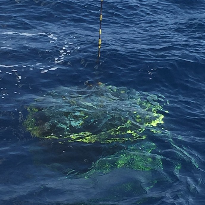
On February 6, 2015, AOML physical oceanographers deployed two underwater sea gliders from the University of Puerto Rico’s R/V La Sultana in hopes of improving prediction of hurricane intensity. This is the second deployment trial after two gliders had a successful first mission at sea from July-November 2014. The main goal of this project is to deploy a pilot network of underwater gliders in the Caribbean Sea and Tropical North Atlantic Ocean to help with hurricane intensity forecasting and provide valuable information about the role the ocean plays in tropical cyclone development.

Read Full Article

Hydrographic Survey Conducted in the Florida Straits

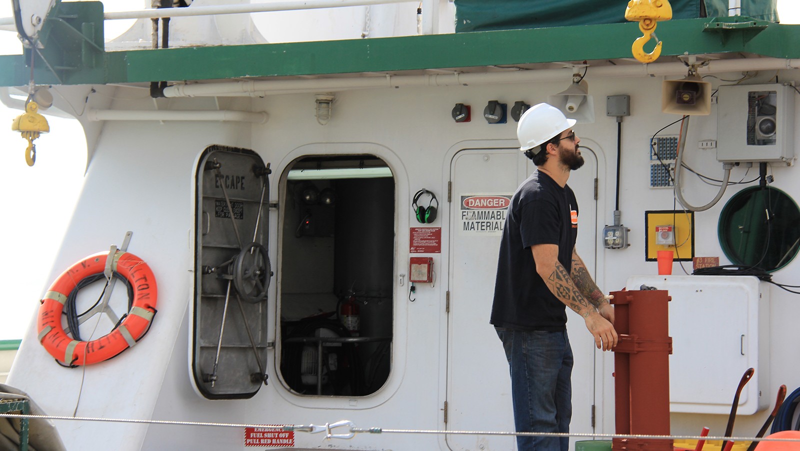
PhOD personnel Ryan Smith, Grant Rawson, and Jay Hooper conducted a hydrographic survey along 27N in the Florida Straits aboard the R/V F.G. Walton Smith on January 12-13, 2015. The cruise was part of the Western Boundary Time Series project, which is designed to quantify Florida Current volume transport and water mass changes. This survey and others help to calibrate daily estimates of the Florida Current volume transport derived from a submarine telephone cable deployed across the Straits. Divers also exchanged a project pressure gauge on the west side of the 27N section.

Read Full Article

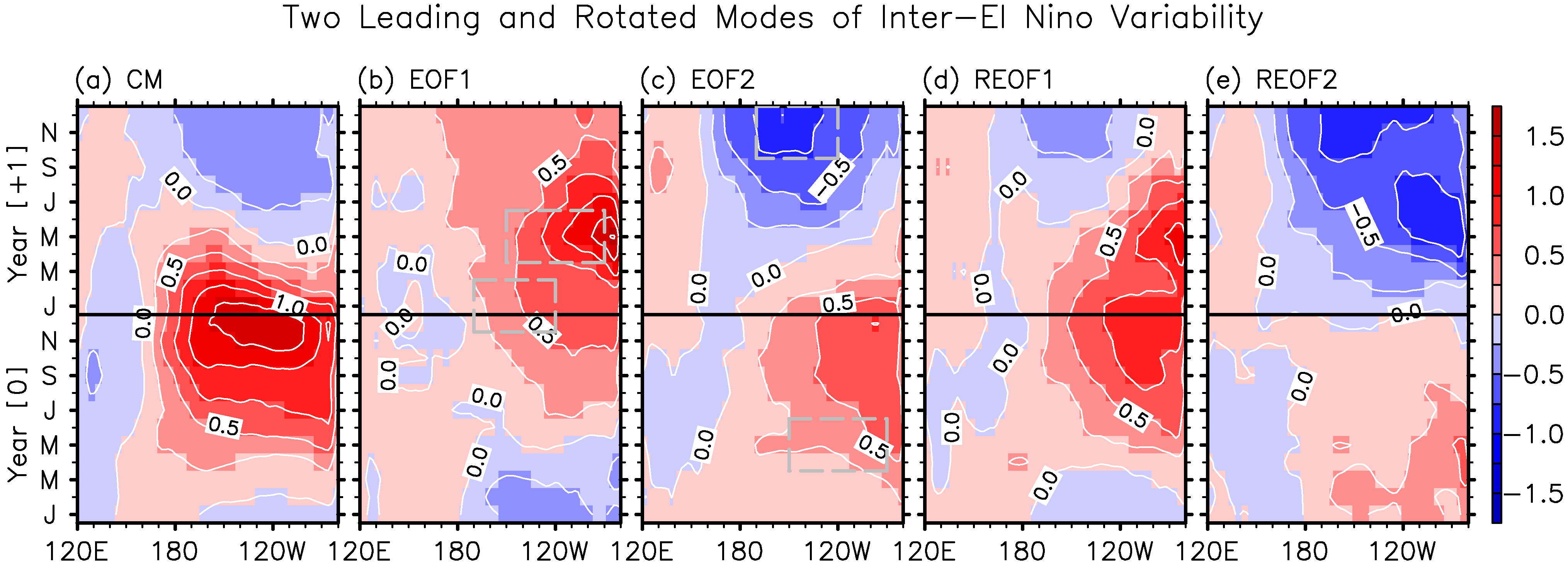
A new approach provides a holistic view of ENSO variability during the onset, peak and decay phases

From its onset to the decay, El Niño-Southern Oscillation (ENSO) plays an important role in forcing climate variability around the globe. A new study led by Sang-Ki Lee, a PhOD/CIMAS scientist, provides an efficient approach to explore the differences in the evolution of space-time patterns of sea surface temperature observed during El Niño events

Read Full Article