


July’s science meeting consisted of five presentations: Josh Cossuth (ONR) – “The Geolocated Processing System (GeoIPS) A platform for collaborative development & processing satellite information” Jon Zawislak – “Overview of NASA’s 2022 Convective Processes Experiment Cabo Verde (CPEX-CV)” Bruno Rojas (Lapenta Intern) – “Rapid Intensification of Hurricane Dorian Using HEDAS Analyses” Andy Hazelton – “AOML […]
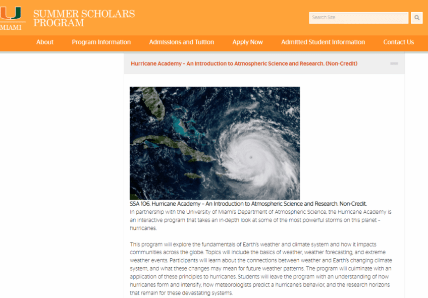

HRD director Frank Marks gave a presentation on “Hurricane Research at NOAA” at the University of Miami Hurricane Academy. The Academies provide immersive academic programs open to students who are currently in grade 9, 10, or 11 (rising sophomores, juniors and seniors). A copy of the presentation is available here.


Kerry Emanuel has made fundamental contributions to several areas in the study of Earth’s climate, notably related to tropical cyclones, convection, and climate. This two-day symposium in honor of Kerry Emanuel brought current work across these three areas together in one place, and provided a forum for exchange of ideas at current forefronts in these […]
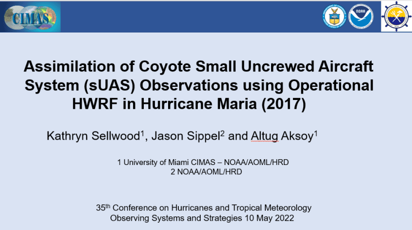

June’s science meeting consisted of seven presentations: Stanley Goldenberg: NOAA’s May Outlook for the 2022 Atlantic Hurricane Season: Methodology & Forecast Bachir Annane: A Catastrophe Model for Assessing Wind and Flood Hazard Risk for Florida Kathryn Sellwood: Assimilation of Coyote sUAS Observations Using Operational HWRF in Hurricane Maria William Ramstrom: Moving Nest Implementation for NOAA’s […]

Data gathered from Hurricane Hunter missions into tropical cyclones substantially improves tropical cyclone track forecasts. ■ Summary: Ingesting observations from Hurricane Hunter aircraft into computer models is known to improve forecasts of tropical cyclones. Among these observations are those from instruments that are released from the aircraft and report pressure, temperature, humidity, and wind velocity […]


This study examines the structure of the part of the atmosphere closest to the surface in a landfalling tropical cyclone (TC) using land-based tower observations. Turbulence is made up of random and continuously changing wind that mixes the atmosphere allowing the energy from the warm ocean below to move upward and fuel the hurricane. Observations […]
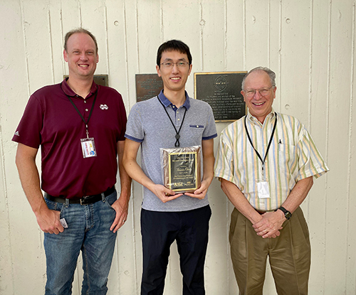
HRD and Northern Gulf Institute (NGI) scientist Dr. Xiaomin Chen is a recipient of the NGI Research Award, an honor instituted in 2020 to recognize outstanding research accomplishments by NGI staff. NGI is a National Oceanic and Atmospheric Administration cooperative institute which conducts research on interconnections among Gulf of America ecosystems and then provides decision […]


The NOAA flight season began early this year with an operational flight into a system, known as Potential Tropical Cyclone 2, that may soon develop into a tropical depression east of the Windward Islands. The plan for the season was recently released and is available online at https://www.aoml.noaa.gov/2022-hurricane-field-program/, and a kickoff meeting to discuss plans […]
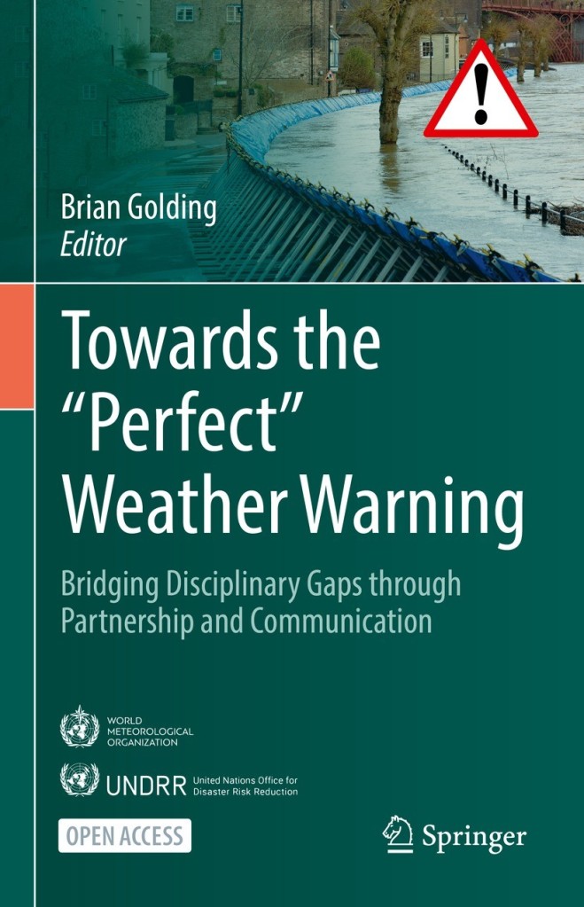
The book discusses how to make weather warnings most effective through communication and partnerships. Warnings are the result of a process from weather observations to weather forecasts to hazard forecasts to socio-economic impact forecasts to warning messages to decisions on how to avoid or mitigate the hazard. The book offers a framework across government, private […]

