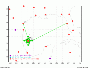
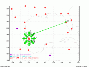
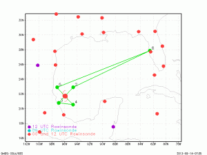
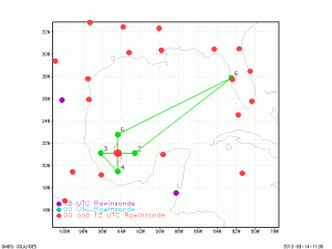
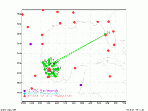
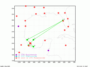
Doppler radar quick-looks from 9:00 AM G-IV flight into Tropical Storm Ingrid, 13 September 2013
As Tropical Storm Ingrid developed from Tropical Depression 10 (TD10) in the southern Bay of Campeche (the Mexican coast is visible as black line in bottom and left of the images) a NOAA G-IV mission collected airborne Doppler radar data to use in initializing and evaluating model guidance. Included here you see analyses of the horizontal […]