Paper on the potential impact of a wind lidar on forecasts published in the Journal of Atmospheric and Oceanic Technology
The paper can be accessed at http://journals.ametsoc.org/doi/pdf/10.1175/JTECH-D-15-0038.1.
The paper can be accessed at http://journals.ametsoc.org/doi/pdf/10.1175/JTECH-D-15-0038.1.
January’s science meeting consisted of 5 presentations: Brad Klotz – Using a Scatterometer-based, Low-wavenumber Analysis Tool to Evaluate Surface Wind Asymmetries in Tropical Cyclones Sim Aberson – A Strong Updraft in the Eye of Hurricane Emily Steve Diaz – Update on the Hurricane Nest Project Ghassan Alaka & Stan Goldenberg – Basin-Scale Version (BSV) of […]

The paper can be accessed at http://journals.ametsoc.org/doi/abs/10.1175/JAS-D-14-0373.1.
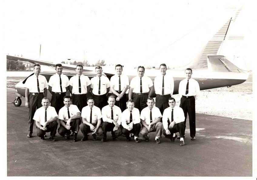
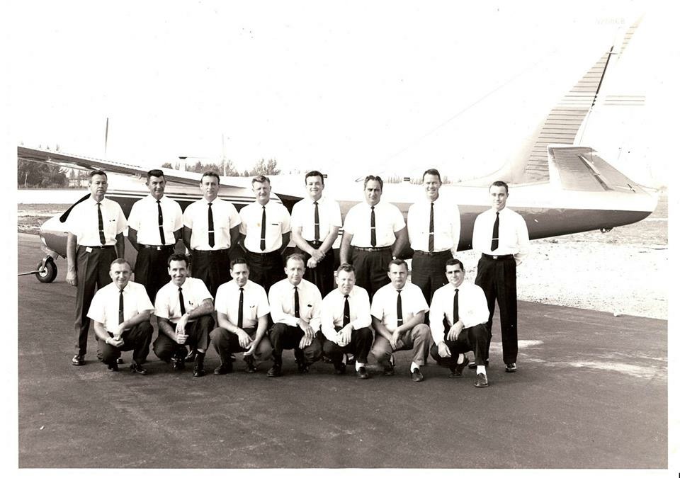
This year we will be observing the following anniversaries of events related to tropical cyclones and research efforts into them. 2011 5th anniversary Hurricane Irene brings great destruction to the Caribbean, Bahamas, and northeastern US and passes directly over New York City. Typhoon Washi kills over 1200 people across the Pacific. Hurricane Maria hits the […]

The article can be found at http://uasmagazine.com/articles/1391/noaa-uses-uas-to-gather-information-for-hurricane-forecasting.


A number of HRD employees were honored at an awards ceremony at AOML earlier in December. Among the honorees: Jun Zhang earned a CIMAS Gold Medal for efforts to improve the surface layer and vertical-diffusion parameterization within the HWRF model to better match the observed surface flux and diffusion. These factors were essential for HWRF to […]

The article can be found at http://www.outsideonline.com/2041421/five-government-drone-projects-waging-research-not-war.

Michael presented a seminar “Evaluation of Hurricane Wind Field Forecasts from Global Models Within the TIGGE Archive“. Abstract: Short- and mid-range forecasts of select North Atlantic hurricanes over the past few seasons—including Sandy (AL182012), Gonzalo (AL082014), Irene (AL092011), and Isaac (AL092012)—are analyzed to quantify biases and error magnitudes found across a storm’s entire wind field. […]
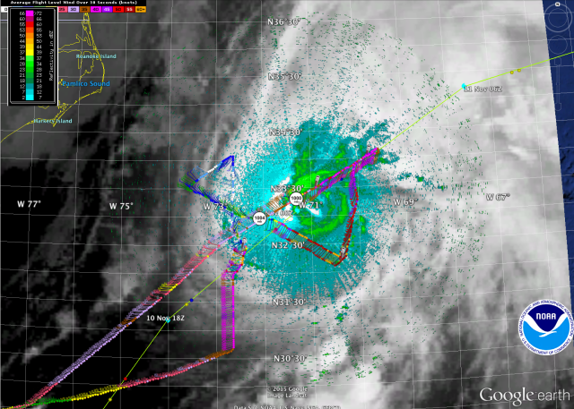
As Tropical Storm Kate continued to accelerate northeastward 500 km southeast of Cape Hatteras, NC a NOAA P-3 mission collected airborne Doppler radar data to use in initializing and evaluating model guidance. The figure below depicts the P-3 flight track superposed on a visible satellite and lower fuselage radar image. Included here you see images of […]

As Tropical Storm Kate turned and accelerated northeastward 600 km east of Jacksonville, FL a NOAA P-3 mission collected airborne Doppler radar data to use in initializing and evaluating model guidance. The figure below depicts the P-3 flight track superposed on a visible satellite and lower fuselage radar image. Included here you see images of the […]