
Scientists at AOML are preparing for the active anticipated 2021 Atlantic hurricane season with the introduction of new observation tools, modeling techniques, and field campaigns to improve hurricane intensity and track forecasts.
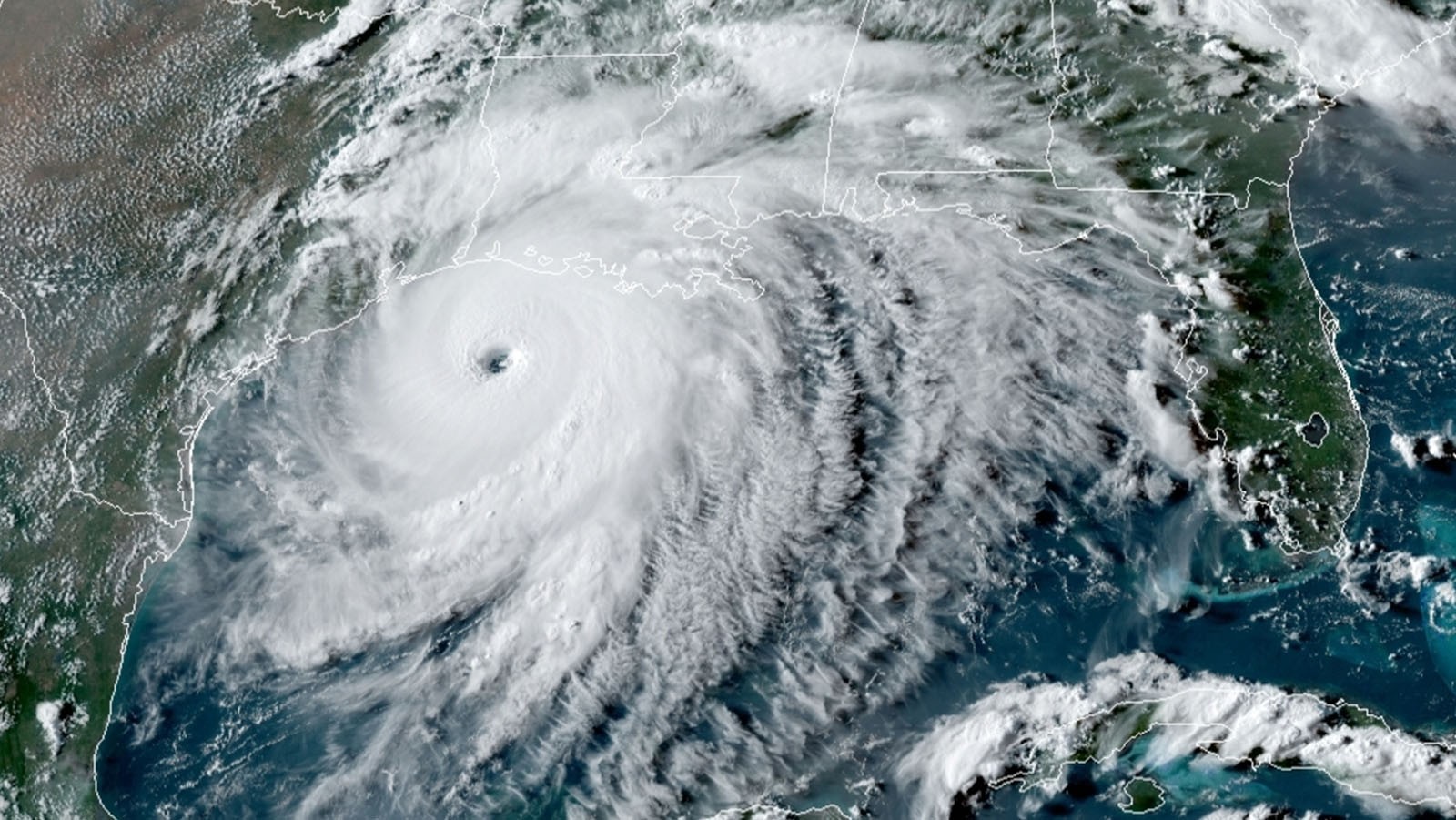
Intense tropical cyclones are dangerous, expensive, and happening more often. Since 1980 in the United States alone, 6,500 people have died as a direct result of these weather phenomena, with expected annual losses of $54 billion in damages. To make matters worse, hurricane intensity has increased about 8% per decade.
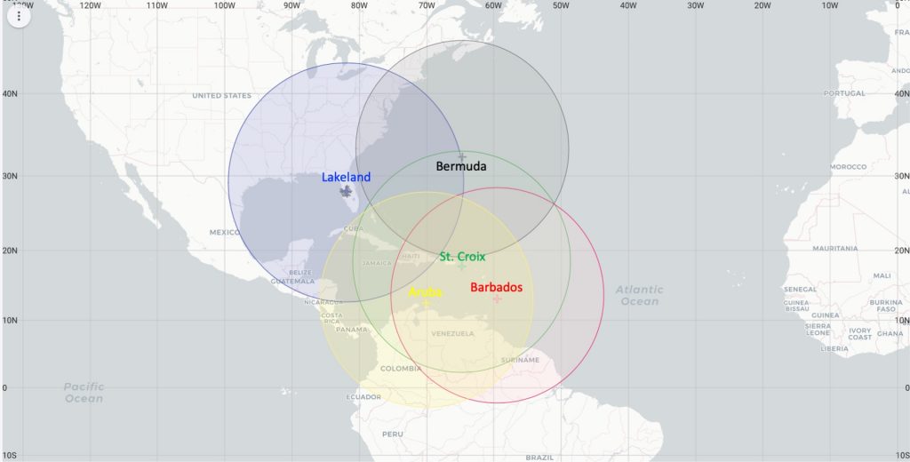
AOML will be deploying multiple ocean-observing platforms this summer that provide satellite-transmitted data to forecasters in real-time. Drones, underwater gliders, surface drifters, saildrones, and other ocean observation tools will measure sea surface temperatures, the upper ocean’s heat and salinity content, and key parameters that are critical to the ocean-atmosphere energy exchange just above the ocean surface. Understanding this turbulent region of the hurricane environment, called the boundary layer, is crucial for improving forecast models and providing more advanced, targeted warnings to vulnerable communities in harm’s way.
What new instrumentation is AOML deploying this season?
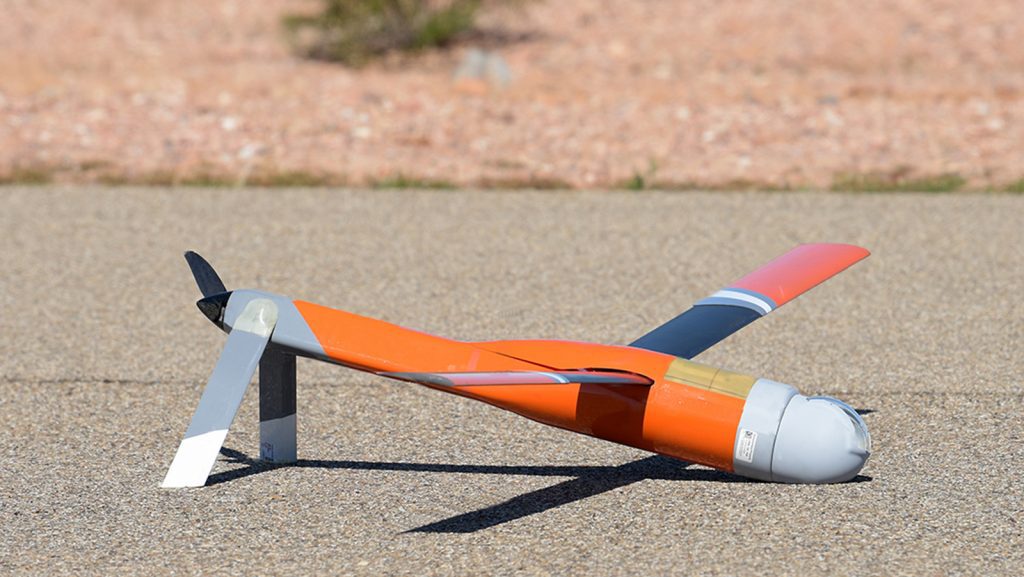
AOML is planning to launch drones directly from Hurricane Hunter aircraft for the first time to sample the boundary layer, the lowest and most dangerous region of a tropical cyclone. The new drone, the Altius-600, can fly for up to 4 hours and distances up to 265 miles from its point of launch while collecting vital information from inside the inner core and eye of tropical systems. The drones will provide forecasters with real-time pressure, temperature, humidity, winds and ocean temperature data to better understand how the boundary layer affects hurricane intensity.
The ocean also plays a critical role in fueling hurricanes. Heat in the upper ocean provides the energy for tropical cyclones to intensify as they pass over its surface. While hurricane track forecasts have improved greatly over the past decade, intensity forecasts have lagged. Gliders, floats, and moorings deployed ahead of and during tropical cyclones this year hold the potential to advance understanding of how the ocean impacts intensity by contributing vital information to forecast models.
For the first time, ALAMO floats will be deployed directly from Hurricane Hunter aircraft during reconnaissance missions. ALAMO floats measure temperature, salinity, and pressure in the upper 300 m of the ocean, generating profiles every 1-2 hours for several weeks after their launch. These floats will be used to understand the ocean’s interaction with tropical cyclones and improve coupled hurricane forecasting models.
In partnership with NOAA’s Pacific Marine Environmental Laboratory, AOML will deploy and pilot five saildrones for the first time during the Atlantic hurricane season. These autonomous vehicles will measure the upper ocean and the atmosphere right above the sea surface to reveal how the atmosphere changes in response to a hurricane. Collecting air-sea data will help scientists better understand the processes that occur as storm intensity increases, ultimately improving forecast models.
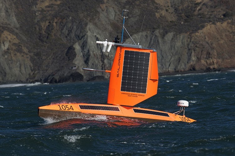
Image credit: Saildrone
Additionally, 29 hurricane gliders and 60 special drifters will be deployed ahead of tropical cyclones throughout the tropical Atlantic Ocean, Caribbean Sea, and Gulf of America from a collaboration of AOML, IOOS Regional Association, US Navy, academic institutions, and private industry partners. Gliders are autonomous platforms that profile the temperature and salinity of the water column to depths half a mile below the ocean’s surface and then transmit their data to shore in real or near-real time. These gliders are expected to provide more than 100,000 profiles that will be assimilated into ocean forecast models. Drifters observe wind speed, air pressure, waves, currents, and upper ocean temperatures that are used to observe how air-sea interactions determine how a storm evolves.
What new modeling techniques will be used?
As a part of the ongoing developments within NOAA’s Unified Forecasting System (UFS) for hurricanes, scientists at AOML will collaborate with the National Weather Service to run a global nested version of the ocean coupled Hurricane Analysis and Forecast System (HAFS) at the cloud-permitting resolution of 3 km during the 2021 hurricane season, four times a day in near real-time.
HAFS is NOAA’s next-generation numerical model and data assimilation system. New model upgrades have been added to the system to provide a high-resolution (1-2 km) representation of the inner core of a tropical cyclone as the storm progresses.
“The development of the moving nest capability is a key milestone to the development of the next generation Hurricane Analysis and Forecast System.”
Frank Marks, Director of Hurricane Research at AOML.
In 2020, HAFS improved track forecasts when compared to NOAA’s Hurricane Weather Research and Forecasting (HWRF) model by as much as 20% at 48-72 hours. HAFS is also expected to provide data for understanding seasonal scale changes between the 2020 and 2021 hurricane seasons to further understand variability related to the rapid intensification of hurricanes.
What’s new with AOML’s Hurricane Field Program?
In addition to AOML’s annual Hurricane Field Program to characterize and predict the lifecycle of tropical systems, hurricane scientists at AOML are planning a collaborative field campaign with the Office of Naval Research this summer to study rapid intensification in Atlantic tropical cyclones. This campaign will use observations from NOAA aircraft, ocean probes, satellites, and forecast models to help unlock some of the mysteries of how and why some storms rapidly intensify.
A collaborative field campaign with NASA’s Convective Processes Experiment – Aerosols and Winds (CPEX-AW) is also planned to study atmospheric features that influence the weather and development of hurricanes in the central and eastern tropical Atlantic. NOAA and NASA aircraft will sample tropical clouds and thunderstorms, the atmosphere just above the ocean surface where exchanges of warmth and moisture occur, the convergence of tropical air masses near the Equator, and other features that are important for the formation of hurricanes, including tropical waves (disturbances in the atmosphere that are the seedlings for Atlantic hurricanes) and Saharan dust storms that can inhibit storm formation.