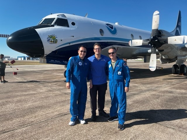
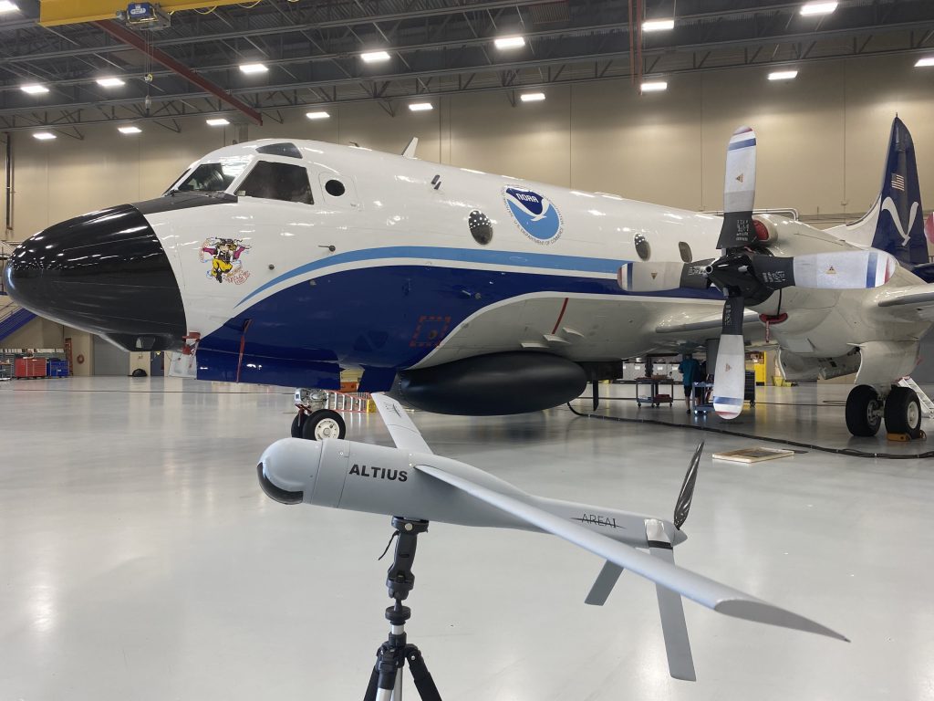
NOAA hurricane researchers have added a new tool to their toolbox. For the first time, an Area-I Altius-600 uncrewed aircraft system was deployed into a hurricane by scientists at NOAA’s Atlantic Oceanographic and Meteorological Laboratory while onboard a NOAA WP-3D Orion Hurricane Hunter aircraft (N42RF, “Kermit”).

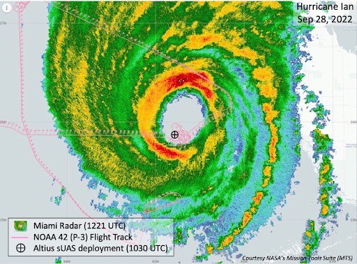
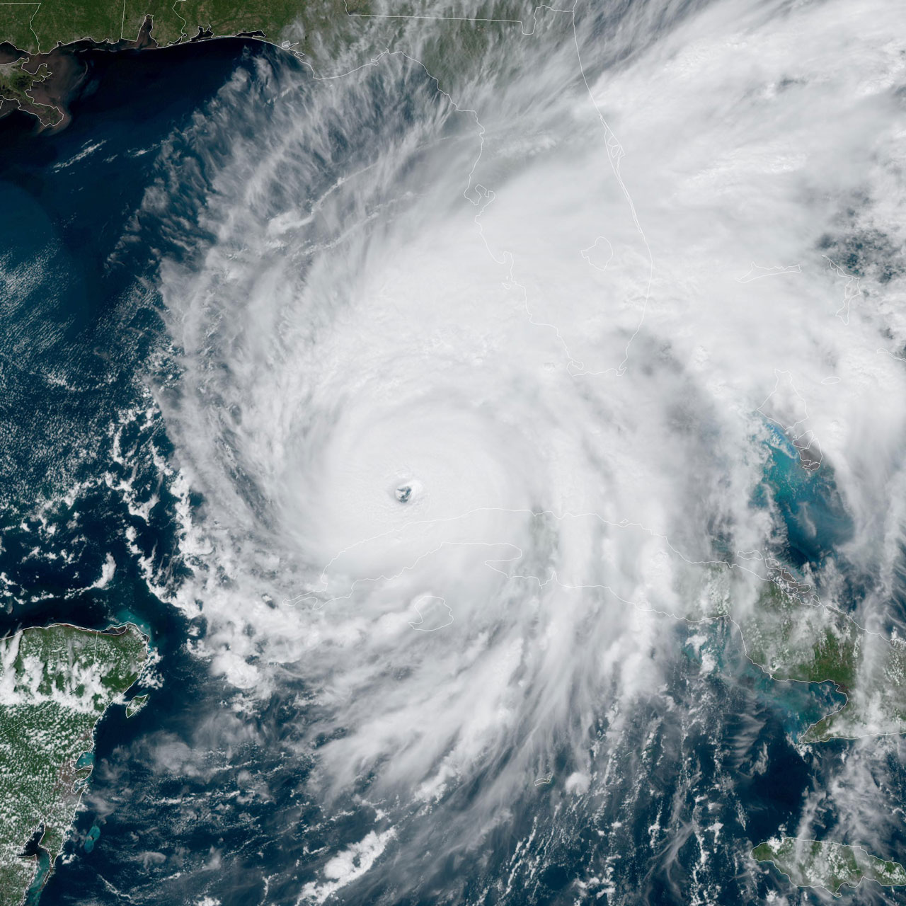
This uncrewed aircraft system (UAS) is capable of operating in low- and medium-altitude maritime environments, areas of the storm too dangerous for humans to go, and features a range of 275 miles while traveling at speeds of up to 100 mph. The UAS or drone, designed with an airframe that can handle considerable damage, has its actions controlled through onboard programming and/or by aircraft-based operators. On September 28, 2022, the Hurricane Hunters transected Category 4 Hurricane Ian during a period of rapid intensification. Despite extreme turbulence, the crew successfully launched the 27-pound drone, which then completed a two-hour mission, acquiring critical measurements to understand these complex storm systems.

Upon release, the uncrewed aircraft deployed its 8-foot wingspan and acquired a center fix on the eye of the hurricane at 4,500 feet. It then dropped to 3,000 feet within the eye to collect temperature, pressure, and moisture values. The crew then directed it into the eyewall where it completed a series of circumnavigations at different altitudes. At less than 2300 feet above the sea surface the UAS recorded winds over 187 kts (216 mph), and at one point even descended to as low as 200 feet.
“If [ALTIUS] survives this, it will survive anything,” Dr. Joe Cione, NOAA’s Lead Meteorologist for new technology, recalled thinking as ALTIUS was deployed. “On its first try, ALTIUS did what we hoped it would do; keep humans out of harm’s way.”
Scientists can only study what can be measured. In extreme environments, like hurricanes, they are limited by the ability to deploy instrumentation safely. Fixed systems, like weather stations and buoys, collect data at ground level. Saildrones and gliders provide tracking data at and below the ocean surface, while Hurricane Hunter aircraft provide a mobile look from the upper levels of the atmosphere. Dropsondes released from aircraft gather high resolution data along a vertical path, and weather balloons provide the same, but rising from below. What drones like the Area-I Altius-600 allow is the ability to dive into the storm and track along lower altitudes.
Scientists at the National Hurricane Center, Environmental Modeling Center, and Hurricane Research Division at NOAA’s Atlantic Oceanographic and Meteorological Laboratory are now using the datasets provided by these new uncrewed aircraft to better understand the extremely turbulent hurricane boundary layer environment. This ability, coupled with other observing systems, helps clarify how these tropical systems function.

Missions like these help improve the accuracy of future hurricane models by understanding the storm’s track, intensity, and structure. This information also helps NOAA improve the safety of operations and more precisely target future research. Ultimately, these refined models provide better analyses to the National Hurricane Center who create forecasts for the public.
This work is financially supported by NOAA’s Uncrewed Systems Operations Center within the Office of Marine and Aviation Operations.
