Tag: Hurricane Field Program

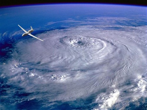
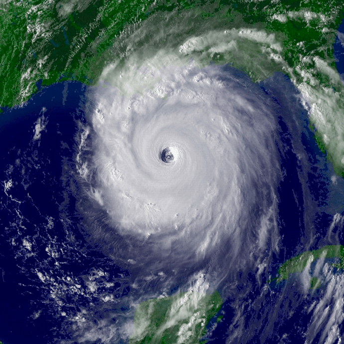
Technology and Modeling Innovations Usher in the 2016 Hurricane Season

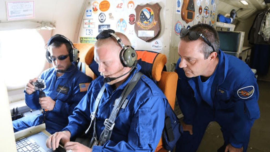
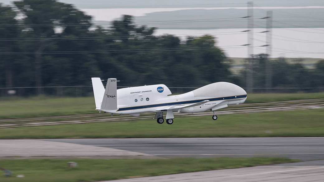
Scientists at NOAA’s Atlantic Oceanographic and Meteorological Laboratory (AOML) are at the vanguard of hurricane research. Each hurricane season we fly into storms, pore over observations and models, and consider new technological developments to enhance NOAA’s observing capacity and improve track and intensity forecasts. The 2016 hurricane season will provide an opportunity for our scientists to test some of the most advanced and innovative technologies and refined forecasting tools to help better predict a storm’s future activity.

Read Full Article

From the Eye of the Hurricane to High-Resolution Models – How NOAA Improves Hurricane Forecasts

As a hurricane approaches landfall, citizens are hoping that they are adequately prepared for the potential damage from strong winds and rising oceans. NOAA’s job is to forecast the storm location and strength, or intensity, to help communities make the best informed decisions. For many scientists, predicting intensity is a challenge at the forefront of hurricane research, and in recent years advancements in observations and modeling have improved NOAA’s forecasts of intensity by 20%. We are now at the point where scientists can observe and predict with very fine detail what is happening in the inner core of the storm.

Read Full Article

10th Anniversary of Hurricane Katrina

Early on the morning of August 29th, 2005, Hurricane Katrina made landfall on the Louisiana delta region and the Mississippi coast.  The storm surge brought enormous damage to the Gulf Coast and, when the levees around New Orleans failed, a great number of fatalities.  Coming amidst the very busy 2005 hurricane season, Katrina brought death and destruction not seen in a U.S. land-falling hurricane in decades.

Read Full Article

NOAA Researchers Will Use 2015 Season to Improve Hurricane Track and Intensity Forecasts

This hurricane season, NOAA’s Office of Oceanic and Atmospheric Research will work with NOAA’s National Weather Service to upgrade weather forecast models and conduct research with unmanned air and water craft to improve forecasts of hurricane track and intensity.A highlight this season is the upgrade of the operational Hurricane Weather Research and Forecast system (HWRF), an advanced hurricane prediction model. This year’s version now has increased the resolution from 3 to 2 kilometers, and will use tail Doppler radar data collected from the NOAA P-3 and G-IV hurricane hunter aircraft to improve the storm representation within the model.

Read Full Article

Hurricane Danny & Tropical Storm Erika Provide Wealth of Research Opportunities for the 2015 Hurricane Field Program

AOML’s hurricane researchers conducted a number of field activities in August that provided data and critical insights into two Atlantic tropical cyclones, Danny and Erika. The two storms enabled researchers to test new instruments in support of the 2015 Hurricane Field Program and conduct research that will benefit future forecasts. Among the highlights were more than 15 successful manned and unmanned aircraft missions into Danny and Erika to collect and provide real-time data to the National Hurricane Center (NHC), as well as evaluate forecast models.

Read Full Article

NOAA Launches Coyote UAS from P-3 Hurricane Hunter into Hurricane Edouard

NOAA successfully deployed unmanned aircraft from a NOAA P-3 Hurricane Hunter directly into a hurricane for the first time. NOAA deployed four Coyote Unmanned Aircraft Systems (UAS) in Hurricane Edouard during flights conducted September 15-17, 2014 out of Bermuda. Scientists on board the P-3 aircraft received meteorological data from the Coyote UAS in both the eye and surrounding eyewall of Hurricane Edouard.

Read Full Article