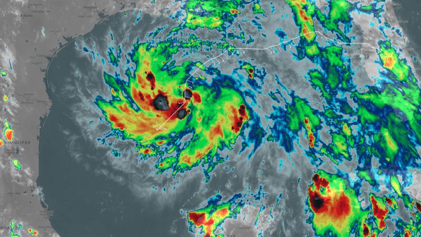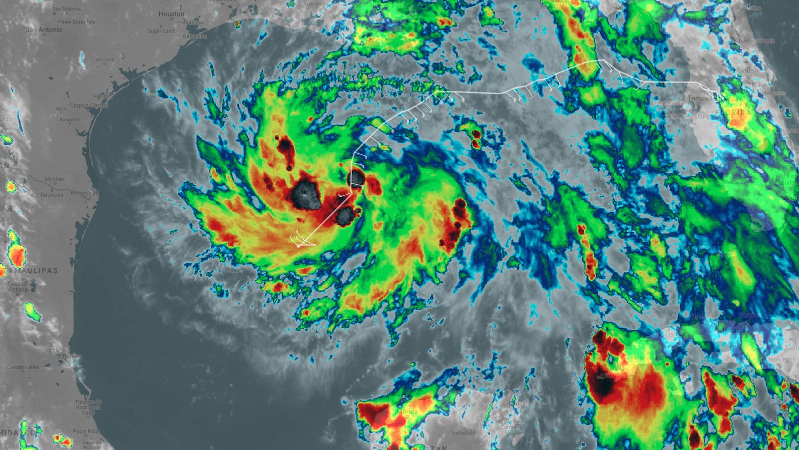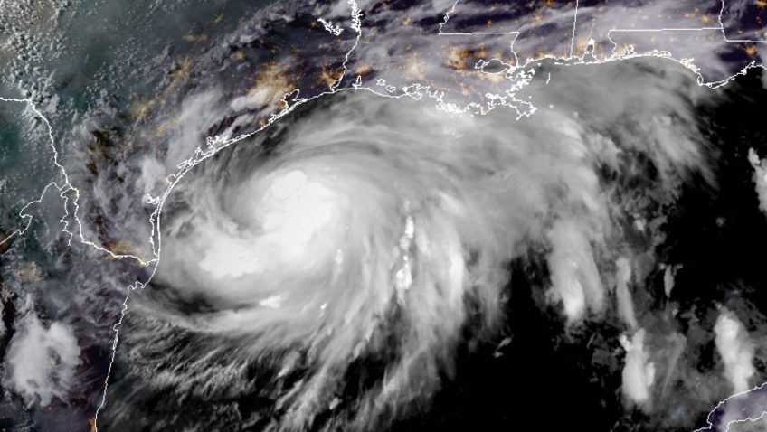

Operational missions continue into Tropical Storm Hanna
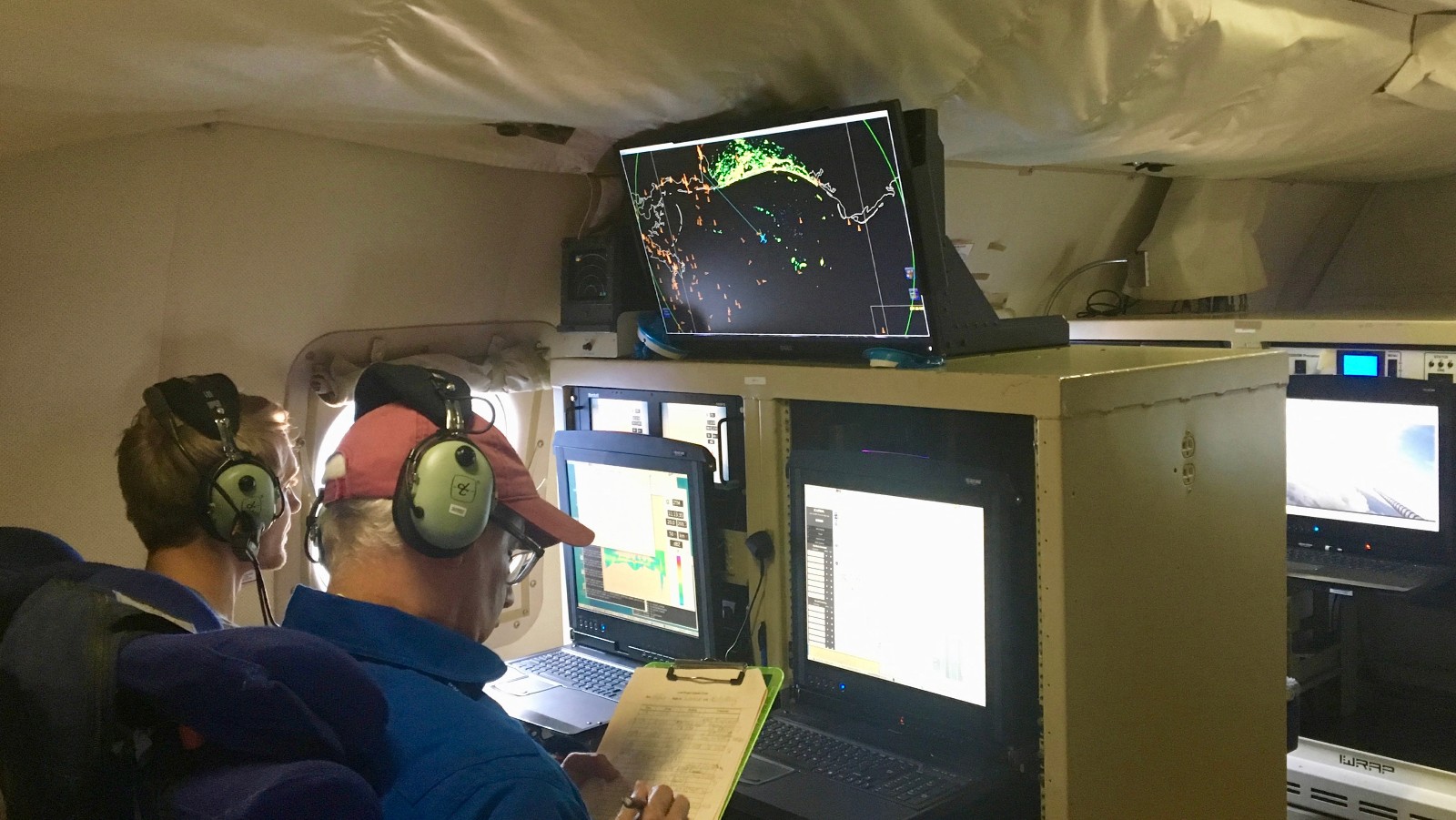
The National Hurricane Center (NHC) continues to task NOAA’s Hurricane Hunter aircraft NOAA43 into Tropical Storm Hanna located in the Gulf of Mexico. AOML radar and dropsonde experts are providing remotely-based data processing in support of these operational missions. The flights are scheduled to continue through Saturday morning, July 25, 2020.